Near Brooks in Newell County, Alberta — Canada’s Prairie Region (North America)
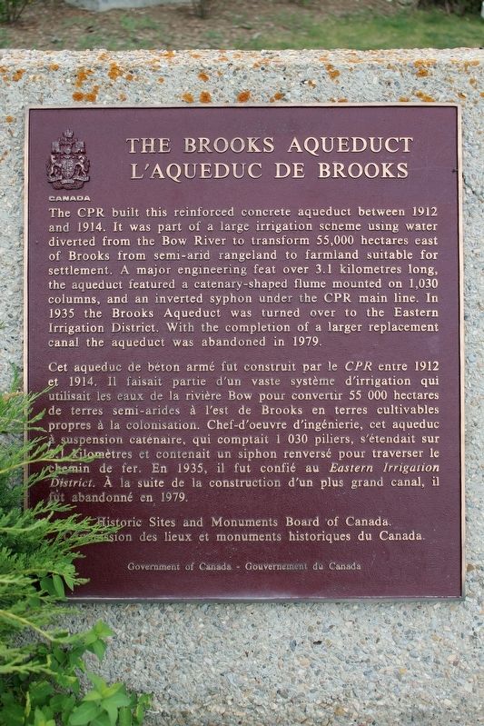
The Brooks Aqueduct/L’aqueduc de Brooks
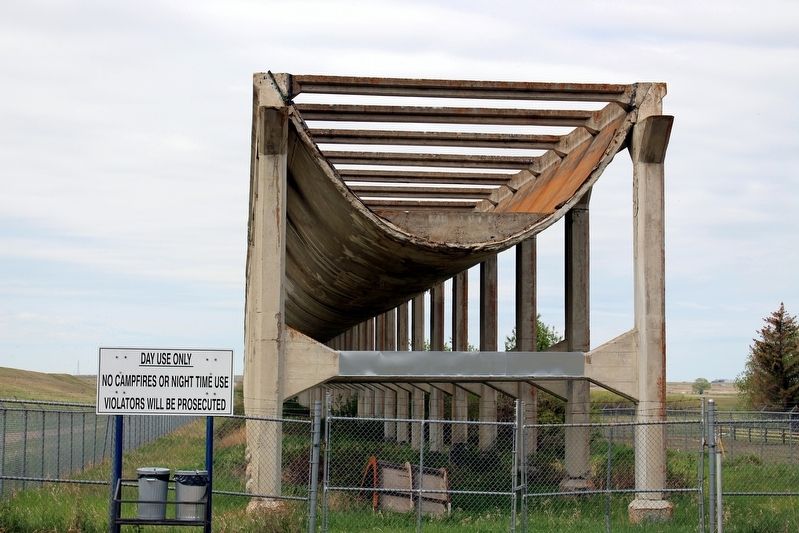
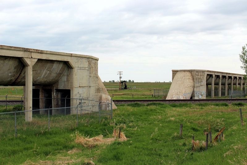
[Francais] Cet aqueduc de béton armé fut construit par le CPR entre 1912 et 1914. Il faisait partie d'un vaste système d'irrigation qui utilisait les eaux de la rivière Bow pour convertir 55 000 hectares de terres semi-arides à l'est de Brooks en terres cultivables propres à la colonisation. Chef-d'oeuvre d'ingénierie, cet aqueduc à suspension caténaire, qui comptait 1 030 piliers, s'étendait sur 3.1 Kilomètres et contenait un siphon renversé pour traverser le chemin de fer. En 1935, il fut confié au Eastern Irrigation District. À la suite de la construction d'un plus grand canal, il fut abandonné en 1979.
Erected by Historic Sites and Monuments Board of Canada/Commission des lieux et monuments historiques du Canada.
Topics and series. This historical marker is listed in these topic lists: Bridges & Viaducts • Waterways & Vessels. In addition, it is included in the Canada, Historic Sites and Monuments Board series list. A significant historical year for this entry is 1914.
Location. 50° 31.909′ N, 111° 50.285′ W. Marker is near Brooks, Alberta, in Newell County. Marker can be reached from Range Road 142, 0.4 kilometers south of Township Road 183A Road, on the right when traveling south. Touch for map. Marker is at or near this postal address: 142 Range Rd, Brooks AB T0J 3K0, Canada. Touch for directions.
Other nearby markers. At least 6 other markers are within walking distance of this marker. Welcome to the Brooks Aqueduct (here, next to this marker); River in the Sky (within shouting distance of this marker); The River Runs Dry (within shouting distance of this marker); a different marker also named River in the Sky (within shouting distance of this marker); a different marker also named River in the Sky (approx. 1.4 kilometers away); a different marker also named River in the Sky (approx. 1.4 kilometers away).
Also see . . . Brooks Aqueduct National Historic Site of Canada. Information about the aqueduct, which was designated a national landmark in 1983. (HistoricPlaces.ca) (Submitted on April 30, 2022, by Duane and Tracy Marsteller of Murfreesboro, Tennessee.)
Credits. This page was last revised on April 30, 2022. It was originally submitted on April 30, 2022, by Duane and Tracy Marsteller of Murfreesboro, Tennessee. This page has been viewed 70 times since then and 4 times this year. Photos: 1, 2, 3. submitted on April 30, 2022, by Duane and Tracy Marsteller of Murfreesboro, Tennessee.
Editor’s want-list for this marker. Wide shot of Marker and surrounding area in context. • Can you help?


