Round Rock in Williamson County, Texas — The American South (West South Central)
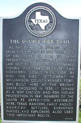
The Double File Trail
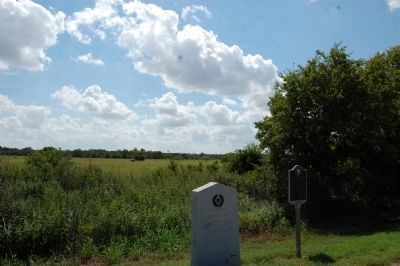
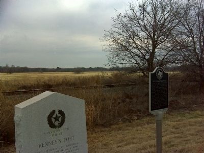
As the Delaware Indians moved from their home in the “Redlands” of East Texas in 1828 to near present Nuevo Laredo, Mexico. They laid out this trace. It was named Double File Trail because two horsemen could ride side by side. The first settlement in Williamson County, Kenney Fort, was built here at the Brushy Creek Crossing in 1838. It served as a way station and for Indian protection. In 1841 members of the Sante Fe Expedition assembled here. Texas Rangers, early Anglo-American settlers, surveying parties, and explorers also use this important route.
Erected 1979 by Texas Historical Commission. (Marker Number 13824.)
Topics. This historical marker is listed in these topic lists: Forts and Castles • Native Americans • Notable Places. A significant historical year for this entry is 1828.
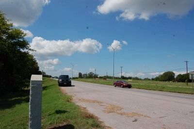
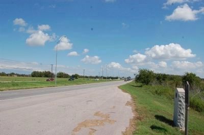
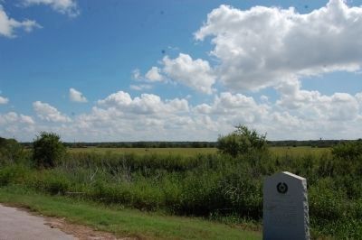
Location. 30° 31.207′ N, 97° 38.63′ W. Marker is in Round Rock, Texas, in Williamson County. Marker is on Palm Valley Blvd (U.S. 79) 0.1 miles east of Palm Valley Road, on the right when traveling east. Touch for map. Marker is in this post office area: Round Rock TX 78665, United States of America. Touch for directions.
Other nearby markers. At least 8 other markers are within 2 miles of this marker, measured as the crow flies. Kenney's Fort (here, next to this marker); Palm Valley Lutheran Church (approx. 0.2 miles away); Confederate Chaplains (approx. 0.7 miles away); Anti-Slaveholding Union Baptist Cemetery (approx. 0.7 miles away); Cabin from Gabriel Mills Area (approx. ¾ mile away); Trinity Lutheran College (approx. 1.6 miles away); Olson House (approx. 1.7 miles away); A. J. and Carolina Anderson House (approx. 1.9 miles away). Touch for a list and map of all markers in Round Rock.
Credits. This page was last revised on May 4, 2022. It was originally submitted on November 30, 2009, by Keith Peterson of Cedar Park, Texas. This page has been viewed 1,335 times since then and 68 times this year. Last updated on April 30, 2022, by Richard Denney of Austin, Texas. Photos: 1. submitted on November 30, 2009, by Keith Peterson of Cedar Park, Texas. 2, 3, 4, 5. submitted on October 5, 2013, by Keith Peterson of Cedar Park, Texas. 6. submitted on January 24, 2011, by Barbara Jernigan of Round Rock, Texas. • J. Makali Bruton was the editor who published this page.
