Silao, Guanajuato, Mexico — The Central Highlands (North America)
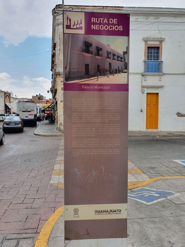
City Hall
Ruta de Negocios / The Business Route
Silao, como muchas ciudades de Guanajuato, nació como consecuencia del avance español hacia el norte de lo que hoy es la República Mexicana, principalmente en busca de los ricos yacimientos de oro y plata, tan ansiados por los conquistadores europeos. Para ello era necesario fundar poblados que permitieran la pacificación de las regiones cercanas a las ciudades mineras, promoviendo además la producción de alimentos y otros productos necesarios para la explotación de los minerales.
Según cuenta la tradición, la región fue habitada originalmente por los otomies, quienes al ser conquistados por los purépechas llamaron al lugar "Tzinacua", que significa "lugar de humaredas", principalmente por los pozos de aguas termales que existen en la región. Tras la llegada de los españoles, el nombre del lugar fue castellanizado a "Silagua" y posteriormente, Silao.
Los primeros pobladores de Silao tras la conquista española fueron un grupo de familias otomies que llegaron a la región bajo el liderazgo del cacique Don' Nicolás de San Luis Montañés, quien el 23 de julio de 1537 llamó a la nueva población "Pueblo del Glorioso Señor Santiago Apóstol del Llano Grande de Silao". Montañés y sus jefes guerreros se habían hecho famosos por conquistar la región de Santiago de Querétaro, derrotando a los grupos indígenas nómadas llamados genéricamente "chichimecas".
Así Silao fue creciendo, principalmente como centro de abasto y paso para la ciudad minera de Guanajuato. Las haciendas crecieron en sus cercanías, lo que permitió que la población aumentara poco a poco, hasta que en 1861 fue declarada ciudad, con el nombre de Silao de la Victoria, aludiendo al triunfo de las armas republicanas en la batalla de Silao, el 10 de agosto de 1860.
El Palacio Municipal, edificio neoclásico construido a principios del siglo XIX, antiguamente funcionó como escuela, cárcel municipal y jefaturo de policía, antes de convertirse en sede de los poderes municipales en la segunda mitad del siglo XX.
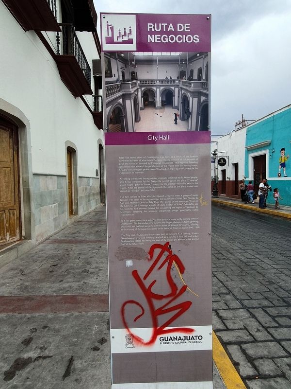
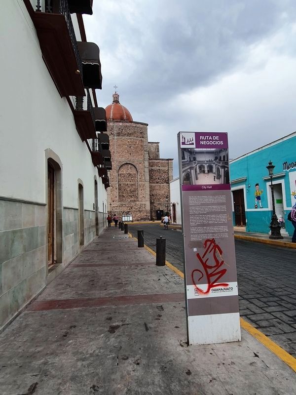
City Hall
Silao like many cities of Guanajuato, was born as a result of the Spanish northward advance of what is now Mexico, mainly in search of rich deposits of gold and silver so coveted by European conquerors. This required founding settlements that allowed the pacification of the region near the mining towns, besides stimulating the production of food and other products necessary for the exploitation of minerals.
According to tradition, the region was originally inhabited by the Otomí people, who being conquered by the Purépecha people called the place "Tzinacua" which means "place of fumes," mainly for the thermal wells that exist in the region. After the arrival of the Spaniards the name of the place turned into spanish as "Silagua" and then Silao.
The first settlers in Silao after the Spanish conquest were a group of otomí families who came to the region under the leadership of chief Don Nicolás de San Luis Montañés, who on July 23rd, 1537 called on the new town "Town of the Glorious Lord Santiago apostle of Llano Grande of Silao". Montañés and his warlords had become famous for conquering the region of Santiago de Querétaro, defeating the nomadic indigenous groups generically called "chichimecas".
So Silao grew mainly as a supply center and as a route to the mining town of Guanajuato. The haciendas grew nearby and the population gradually growing until 1861 and declared as a city with the name of Silao de la Victoria, alluding to the victory of the republican army in the battle of Silao on August 10th, 1860. The City Hall or Municipal Palace was built in the early XIX century; it has a Neo-classical style and formerly worked as a school, a city jail and police headquarters before becoming the seat of the municipal powers in the second half of
the XX century.
Erected by Gobierno del Estado de Guanajuato.
Topics. This historical marker is listed in these topic lists: Colonial Era • Native Americans • Settlements & Settlers. A significant historical date for this entry is July 23, 1537.
Location. 20° 56.678′ N, 101° 25.579′ W. Marker is in Silao, Guanajuato. Marker is at the intersection of Melchor Ocampo and Calle Aldama, on the right when traveling north on Melchor Ocampo. Touch for map. Marker is at or near this postal address: Melchor Ocampo 50, Silao GTO 36100, Mexico. Touch for directions.
Other nearby markers. At least 8 other markers are within walking distance of this marker. The Battle of Silao (within shouting distance of this marker); Temple of the Third Order (about 90 meters away, measured in a direct line); Parish of Santiago Apóstol (about 90 meters away); Pope Benedict XVI's Visit to Silao (about 120 meters away); a different marker also named Parish of Santiago Apóstol (about 150 meters away); Founders of Our City Silao (about 150 meters away); General Francisco Javier Mina (about 150 meters away); Luis I. Rodriguez T. (about 180 meters away). Touch for a list and map of all markers in Silao.
Credits. This page was last revised on April 30, 2022. It was originally submitted on April 30, 2022, by J. Makali Bruton of Accra, Ghana. This page has been viewed 67 times since then and 15 times this year. Photos: 1, 2, 3. submitted on April 30, 2022, by J. Makali Bruton of Accra, Ghana.


