Mountainside in Union County, New Jersey — The American Northeast (Mid-Atlantic)
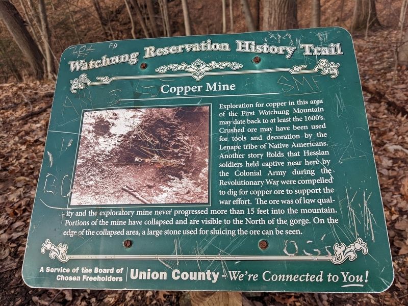
Copper Mine
Watchung Reservation History Trail
| — | Union County - We're Connected to You! | — |
Photographed by Seva Zaslavsky, March 6, 2022
1. Copper Mine Marker
Erected by The Board of Chosen Freeholders, Union County, New Jersey.
Topics. This historical marker is listed in these topic lists: Indigenous Peoples and Communities • Industry & Commerce • Natural Resources • War, US Revolutionary.
Location. 40° 40.829′ N, 74° 22.959′ W. Marker is in Mountainside, New Jersey, in Union County. It can be reached from Historic Trail east of Sierra Trail, on the left when traveling
this page online

Regionally, this marker is in New Jersey’s North Jersey, in Greater Newark, and in the New York City Metropolitan Area. It is also in the American Northeast, in the Mid-Atlantic, and on the Eastern Seaboard. Globally, it is in the North Atlantic Region, North America, the Western Hemisphere, the Western World, and the Anglosphere. Historically, it finds itself in what was once New Netherland and also one of the original Thirteen Colonies.
Other nearby markers. At least 8 other markers are within 3 miles of this marker, measured as the crow flies: Deserted Village of Feltville / Glenside Park (approx. 0.4 miles away); Lake Surprise Bathhouse (approx. 0.7 miles away); “Osborn House” (approx. 1.8 miles away); The Shady Rest Country Club "A Place for Us" (approx. 1.8 miles away); New Providence Veterans Memorial Park
Photographed by Seva Zaslavsky, March 6, 2022
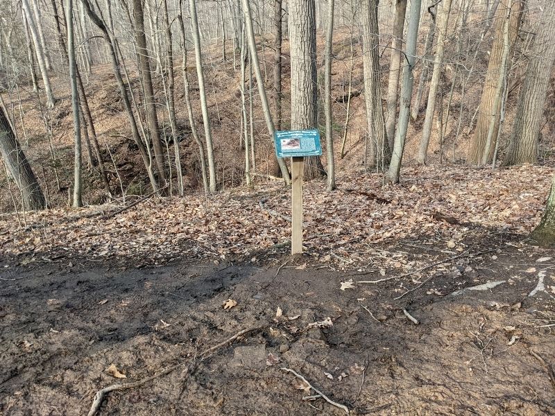
2. Copper Mine Marker
Also see . . . Watchung Reservation Trail Map. (Submitted on May 1, 2022, by Seva Zaslavsky of Maplewood, New Jersey.)
Additional keywords. mining
Photographed by Seva Zaslavsky, March 6, 2022
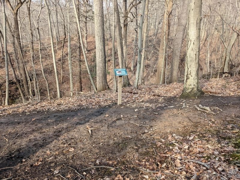
3. Copper Mine Marker
Credits. This page was last revised on October 27, 2024. It was originally submitted on May 1, 2022, by Seva Zaslavsky of Maplewood, New Jersey. This page has been viewed 1,205 times since then and 63 times this year. Photos: 1, 2, 3. submitted on May 1, 2022, by Seva Zaslavsky of Maplewood, New Jersey. • Devry Becker Jones was the editor who published this page.
