Near Mankato in Blue Earth County, Minnesota — The American Midwest (Upper Plains)
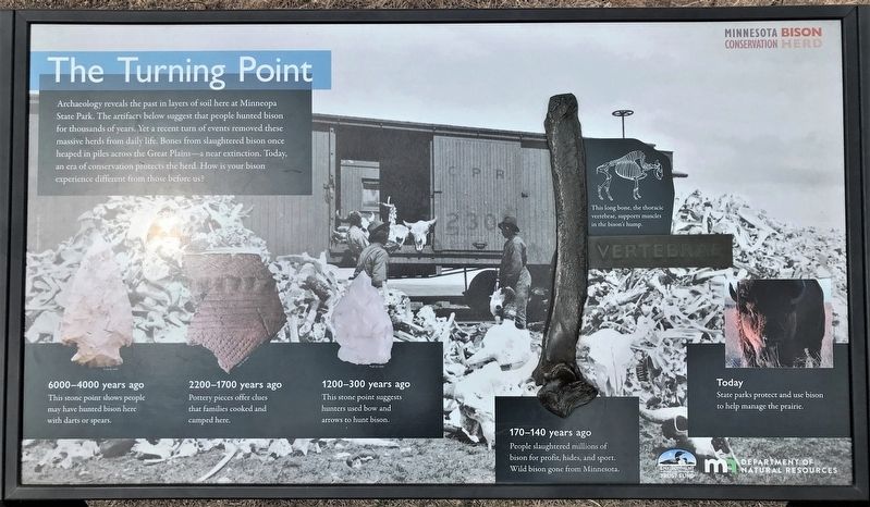
The Turning Point
— Minnesota Bison Conservation Herd —
Vertebrae
This long bone, the thoracic vertebrae, supports muscles in the bison's hump.
6000–4000 years ago
This stone point shows people may have hunted bison here with darts or spears.
2200–1700 years ago
Pottery pieces offer clues that families cooked and camped here.
1200–300 years ago
This stone point suggests hunters used bow and arrows to hunt bison.
170–140 years ago
People slaughtered millions of bison for profit, hides, and sport. Wild bison gone from Minnesota.
Today
State parks protect and use bison to help manage the prairie.
Erected by Environment and Natural Resources Trust Fund and MN Department of Natural Resources.
Topics. This historical marker is listed in these topic lists: Animals • Anthropology & Archaeology.
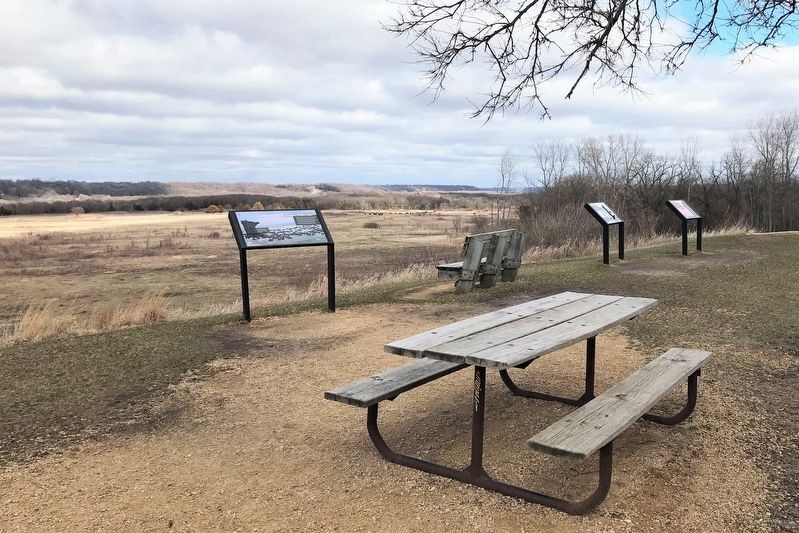
Location. 44° 9.834′ N, 94° 6.758′ W. Marker is near Mankato, Minnesota, in Blue Earth County. Marker can be reached from Mill Road near State Highway 68. Located at the end of the Bison Drive Road in Minneopa State Park, at the overlook past Seppman Mill. Touch for map. Marker is in this post office area: Mankato MN 56001, United States of America. Touch for directions.
Other nearby markers. At least 8 other markers are within 4 miles of this marker, measured as the crow flies. Granary (within shouting distance of this marker); Seppman Mill (within shouting distance of this marker); Former Homestead of Robert & Frieda Ulmen (approx. 1.4 miles away); George M. Palmer (approx. 1˝ miles away); Minnesota State Parks (approx. 1˝ miles away); The First Mahkato Memorial Wacipi (approx. 3.6 miles away); Geology of Minnesota (approx. 3.7 miles away); Ott Cabin (approx. 3.8 miles away). Touch for a list and map of all markers in Mankato.
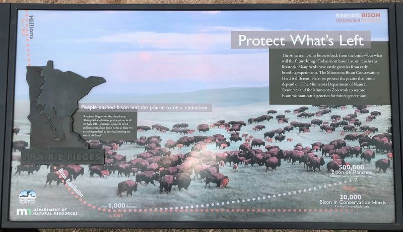
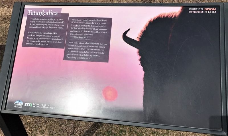
Additional keywords. Protect What's Left, Tataŋḳaḣca, Tatankahca
Credits. This page was last revised on May 2, 2022. It was originally submitted on May 1, 2022. This page has been viewed 163 times since then and 7 times this year. Photos: 1. submitted on May 1, 2022. 2, 3, 4. submitted on May 2, 2022.


