Watts Township near Duncannon in Perry County, Pennsylvania — The American Northeast (Mid-Atlantic)
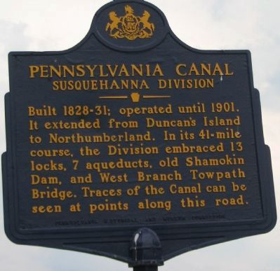
Pennsylvania Canal
Susquehanna Division
Erected 1952 by Pennsylvania Historical and Museum Commission.
Topics and series. This historical marker is listed in this topic list: Waterways & Vessels. In addition, it is included in the Pennsylvania Canal, and the Pennsylvania Historical and Museum Commission series lists. A significant historical year for this entry is 1901.
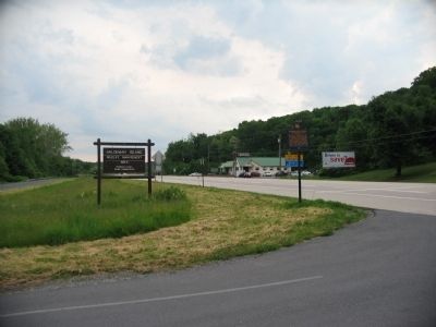
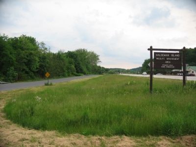
Location. 40° 25.913′ N, 77° 0.053′ W. Marker is near Duncannon, Pennsylvania, in Perry County. It is in Watts Township. Marker is on U.S. 11/15, on the right when traveling north. Located at the entrance to Haldeman Island Wildlife Management Area. Touch for map. Marker is in this post office area: Halifax PA 17032, United States of America. Touch for directions.
Other nearby markers. At least 8 other markers are within 4 miles of this marker, measured as the crow flies. A different marker also named Pennsylvania Canal (approx. 0.6 miles away); Clark's Ferry Bridge Company (approx. 2.1 miles away); The John Schaffer Tavern and Inn (approx. 2.2 miles away); a different marker also named Pennsylvania Canal (approx. 2˝ miles away); Lightning Guider Sleds (approx. 2.6 miles away); Clark's Ferry Tavern (approx. 2.8 miles away); a different marker also named Pennsylvania Canal (approx. 2.8 miles away); Duncannon Area Schools (approx. 3.1 miles away). Touch for a list and map of all markers in Duncannon.
Credits. This page was last revised on December 19, 2023. It was originally submitted on June 6, 2009, by Craig Swain of Leesburg, Virginia. This page has been viewed 1,160 times since then and 32 times this year. Photos: 1, 2, 3, 4. submitted on June 6, 2009, by Craig Swain of Leesburg, Virginia.


