New Haven in Allen County, Indiana — The American Midwest (Great Lakes)
The Lincoln Highway
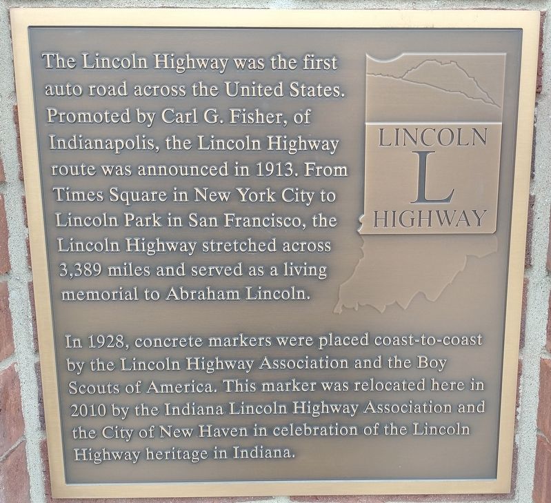
The Lincoln Highway was the first auto road across the United States. Promoted by Carl G. Fisher, of Indianapolis, the Lincoln Highway route was announced in 1913. From Times Square in New York City to Lincoln Park in San Francisco, the Lincoln Highway stretched across 3,389 miles and served as a living memorial to Abraham Lincoln.
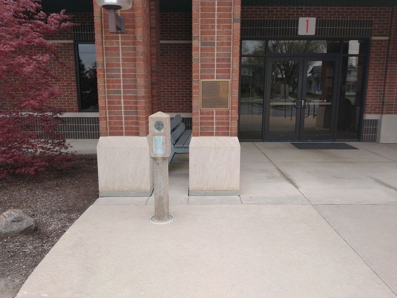
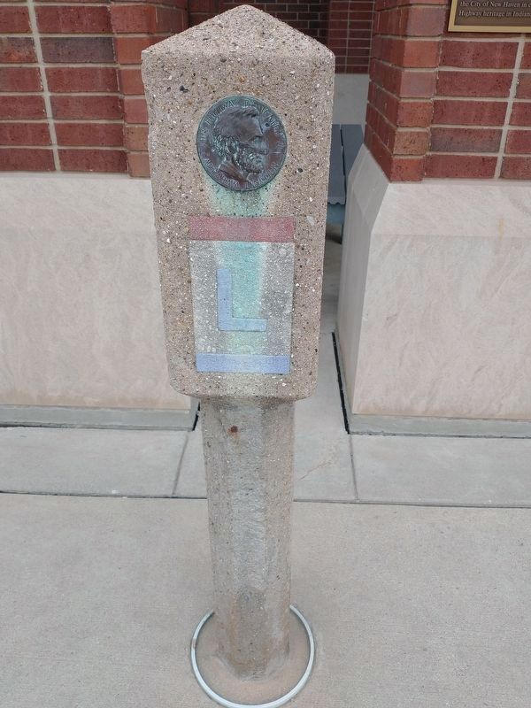
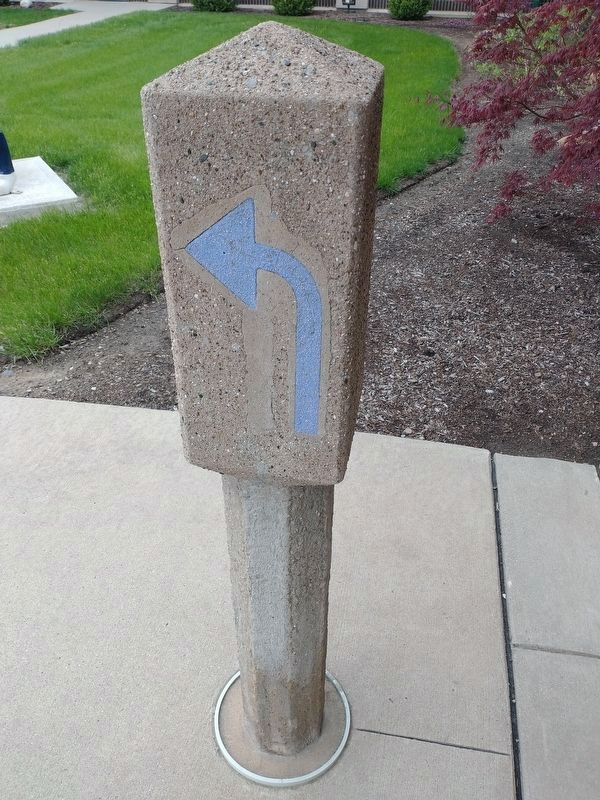
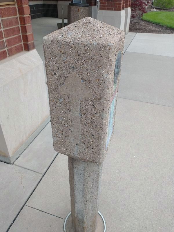
In 1928, concrete markers were placed coast-to-coast by the Lincoln Highway Association and the Boy Scouts of America. This marker was relocated here in 2010 by the Indiana Lincoln Highway Association and the City of New Haven in celebration of the Lincoln Highway heritage in Indiana.
Topics and series. This historical marker is listed in this topic list: Roads & Vehicles. In addition, it is included in the Lincoln Highway series list. A significant historical year for this entry is 1913.
Location. 41° 4.239′ N, 85° 1.108′ W. Marker is in New Haven, Indiana, in Allen County. Marker is on Lincoln Highway East west of Broadway Street, on the right when traveling west. Touch for map. Marker is at or near this postal address: 815 Lincoln Hwy E, New Haven IN 46774, United States of America. Touch for directions.
Other nearby markers. At least 8 other markers are within 5 miles of this marker, measured as the crow flies. In Greatful Recognition Of Valor (about 800 feet away, measured in a direct line); Veterans Memorial (about 800 feet away); Kim Linker (approx. 0.2 miles away); The Wabash & Erie Canal (approx. 0.2 miles away); Gronauer Lock No. 2 (approx. 1.8 miles away); Arthur R. Smith (approx. 4.6 miles away); Operation MP-125 Veterans Memorial (approx. 4.6 miles away); Olen J. Pond Memorial (approx. 4.7 miles away). Touch for a list and map of all markers in New Haven.
Credits. This page was last revised on May 17, 2022. It was originally submitted on May 3, 2022, by Craig Doda of Napoleon, Ohio. This page has been viewed 147 times since then and 20 times this year. Photos: 1, 2, 3, 4, 5. submitted on May 3, 2022, by Craig Doda of Napoleon, Ohio. • Bill Pfingsten was the editor who published this page.
