
New Haven in Allen County, Indiana — The American Midwest (Great Lakes)
The Wabash & Erie Canal
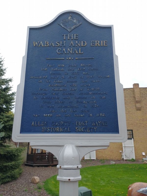
Photographed by Craig Doda, May 1, 2022
1. The Wabash & Erie Canal Marker
Erected by Allen County-Fort Wayne Historical Society.
Topics and series. This historical marker is listed in this topic list: Waterways & Vessels. In addition, it is included in the Wabash & Erie Canal series list. A significant historical date for this entry is July 4, 1843.
Location. 41° 4.411′ N, 85° 1.044′ W. Marker is in New Haven, Indiana, in Allen County. It is on Broadway Street, on the right when traveling north. Touch for map. Marker is in this post office area: New Haven IN 46774, United States of America. Touch for directions.

Regionally, this marker is in Northern Indiana and in Greater Fort Wayne. It is also in the American Midwest and in the Corn Belt. Globally, it is in North America, the Western Hemisphere, the Western World, and the Anglosphere. Historically,
this page online
Other nearby markers. At least 8 other markers are within 5 miles of this marker, measured as the crow flies: Kim Linker (here, next to this marker); The Lincoln Highway (approx. 0.2 miles away); Veterans Memorial (approx. 0.3 miles away); In Greatful Recognition Of Valor (approx. 0.3 miles away); Gronauer Lock No. 2 (approx. 1.7 miles away); Arthur R. Smith (approx. 4.6 miles away); Operation MP-125 Veterans Memorial (approx. 4.7 miles away); Olen J. Pond Memorial (approx. 4.7 miles away). Touch for a list and map of all markers in New Haven.
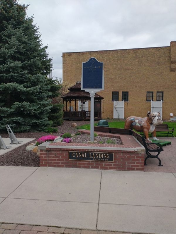
Photographed by Craig Doda, May 1, 2022
2. The Wabash & Erie Canal Marker
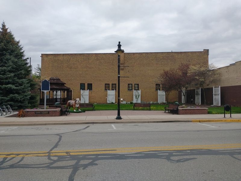
Photographed by Craig Doda, May 1, 2022
3. The Wabash & Erie Canal Marker
Credits. This page was last revised on May 17, 2022. It was originally submitted on May 3, 2022, by Craig Doda of Napoleon, Ohio. This page has been viewed 288 times since then and 12 times this year. Photos: 1, 2, 3. submitted on May 3, 2022, by Craig Doda of Napoleon, Ohio. • Bill Pfingsten was the editor who published this page.
