Cumberland Township near Gettysburg in Adams County, Pennsylvania — The American Northeast (Mid-Atlantic)
Fight for the Summit
July 2-3, 1863
— Gettysburg National Military Park —
Inscription.
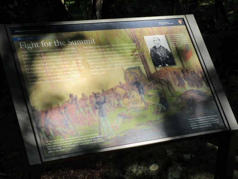
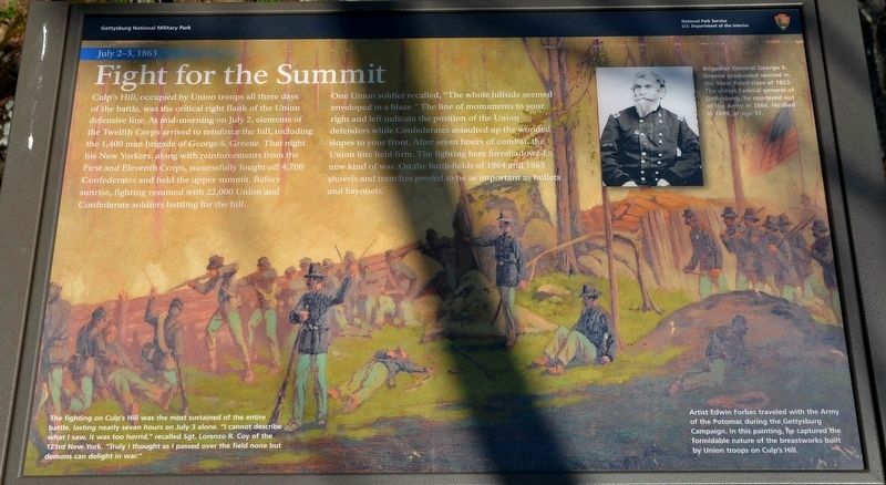
Culp's Hill, occupied by Union troops all three days of the battle, was the critical right flank of the Union defense line. At mid-morning on July 2, elements of the Twelfth Corps arrived to reinforce the hill, including the 1,400 man brigade of George S. Greene. That night his New Yorkers, along with reinforcements from the First and Eleventh Corps, successfully fought off 4,700 Confederates and held the upper summit. Before sunrise, fighting resumed with 22,000 Union and Cofederate soldiers battling for the hill.
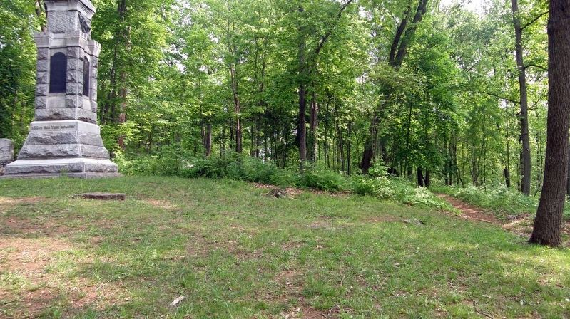
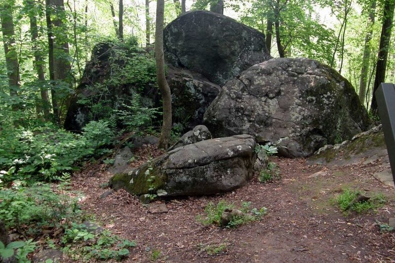
One Union soldier recalled, "The whole hillside seemed enveloped in a blaze." The line of monuments to your right and left indicate the position of the Union defenders while Confederates assaulted up the wooded slopes to your front. After seven hours of combat, the Union line held firm. The fighting here foreshadowed a new kind of war. On the battlefields of 1864 and 1865 shovels and trenches proved to be as important as bullets and bayonets.
(captions)
The fighting on Culp's Hill was the most sustained of the entire battle, lasting nearly seven hours on July 3 alone. "I cannot describe what I saw. It was too horrid," recalled Sgt. Lorenzo R. Coy of the 123rd New York. "Truly I thought as I passed over the field none but demons can delight in war."
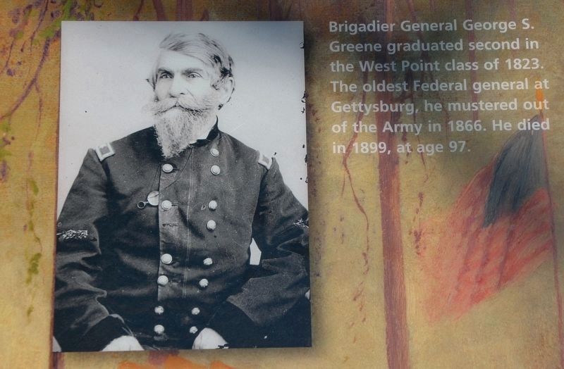
Brigadier General George S. Greene graduated second in the West Point class of 1823. The oldest Federal general at Gettysburg, he mustered out of the army in 1866. He died in 1899, at age 97.
Artist Edwin Forbes traveled with the Army of the Potomac during the Gettysburg Campaign. In this panting, he captured the formidable nature of the breastworks built by Union troops on Culp's Hill.
Erected 2021 by National Park Service, U.S. Department of the Interior.
Topics. This historical marker is listed in this topic list: War, US Civil. A significant historical date for this entry is July 2, 1863.
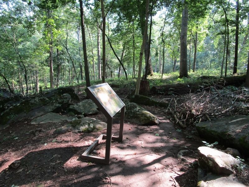
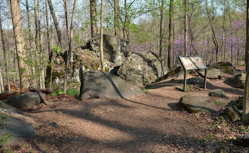
Location. 39° 49.142′ N, 77° 13.159′ W. Marker is near Gettysburg, Pennsylvania, in Adams County. It is in Cumberland Township. Marker can be reached from Slocum Avenue, ¼ mile north of Williams Avenue, on the right when traveling north. Marker is in woods between the 150th New York Infantry monument and the 66th Ohio Volunteer Infantry monument. Touch for map. Marker is in this post office area: Gettysburg PA 17325, United States of America. Touch for directions.
Other nearby markers. At least 8 other markers are within walking distance of this marker. Shelter From Attack (a few steps from this marker); 150th New York Infantry (a few steps from this marker); 1st Regiment Eastern Shore Maryland Volunteer Infantry (within shouting distance of this marker); A Useless Sacrifice of Life (within shouting distance of this marker); Second Brigade (within shouting distance of this marker); First Brigade (within shouting distance of this marker); 102 & 78th New York Infantry (within shouting distance of this marker); Third Brigade (within shouting distance of this marker). Touch for a list and map of all markers in Gettysburg.
Also see . . . Gettysburg National Military Park. National Park Service (Submitted on May 6, 2022.)
Credits. This page was last revised on May 19, 2023. It was originally submitted on August 26, 2021, by Anton Schwarzmueller of Wilson, New York. This page has been viewed 193 times since then and 18 times this year. Last updated on May 4, 2022, by Karl Stelly of Gettysburg, Pennsylvania. Photos: 1. submitted on August 26, 2021, by Anton Schwarzmueller of Wilson, New York. 2, 3. submitted on May 4, 2022, by Karl Stelly of Gettysburg, Pennsylvania. 4. submitted on August 26, 2021, by Anton Schwarzmueller of Wilson, New York. 5. submitted on May 4, 2022, by Karl Stelly of Gettysburg, Pennsylvania. 6, 7. submitted on May 14, 2023, by Larry Gertner of New York, New York. • Bernard Fisher was the editor who published this page.
