Sioux Falls in Minnehaha County, South Dakota — The American Midwest (Upper Plains)
James Brothers
April 22, 2022
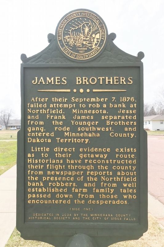
1. James Brothers Marker (Side one)
Little direct evidence exists as to their getaway route. Historians have reconstructed their flight through the county from newspaper reports about the presence of the Northfield bank robbers, and from well established farm family tales passed down from those who encountered the desperados.
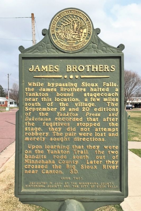
While bypassing Sioux Falls, the James Brothers halted a Yankton bound stagecoach near this location, a few miles south of the village. The September 19 and 20 editions of the Yankton Press and Dakotaian recorded that after the fugitives stopped the stage, they did not attempt robbery. The pair were lost and merely sought directions.
Upon learning that they were on the Yankton Trail, the two bandits rode south out of Minnehaha County. Later they crossed the Big Sioux River near Canton, SD.
Erected 2004 by the Minnehaha County Historical Society and the City of Sioux Falls.
Topics and series. This historical marker is listed in this topic list: Notable Events. In addition, it is included in the Jesse James series list. A significant historical date for this entry is September 7, 1876.
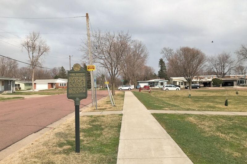
Location. 43° 30.997′ N, 96° 45.187′ W. Marker is in Sioux Falls, South Dakota, in Minnehaha County. It is on West 39th Street west of South Jefferson Avenue, on the left when traveling west. Located in northern Jefferson Park in Sioux Falls. Touch for map. Marker is at or near this postal address: 2301 W 39th St, Sioux Falls SD 57105, United States of America. Touch for directions.

Regionally, this marker is in East River. It is also in the American Midwest, in the Lewis & Clark Corridor, in the Corn Belt, on the prairies,
this page online
Other nearby markers. At least 8 other markers are within walking distance of this marker: Ronald Reagan (approx. 0.2 miles away); Abraham Lincoln (approx. 0.2 miles away); George Washington (approx. 0.3 miles away); Thomas Jefferson (approx. 0.3 miles away); Soo Skyways Airport (approx. half a mile away); Sertoma Park (approx. 0.8 miles away); South Dakota Achieve (approx. 0.8 miles away); Ole Rölvaag's Writing Cabin (approx. 0.8 miles away). Touch for a list and map of all markers in Sioux Falls.
April 22, 2022
2. James Brothers Marker (Side two)

April 22, 2022
3. James Brothers Marker, from the east
April 22, 2022
4. James Brothers Marker, from the west
Credits. This page was last revised on May 6, 2022. It was originally submitted on May 4, 2022. This page has been viewed 871 times since then and 90 times this year. Photos: 1, 2, 3, 4. submitted on May 4, 2022.
