Port Townsend in Jefferson County, Washington — The American West (Northwest)
Point Wilson Light
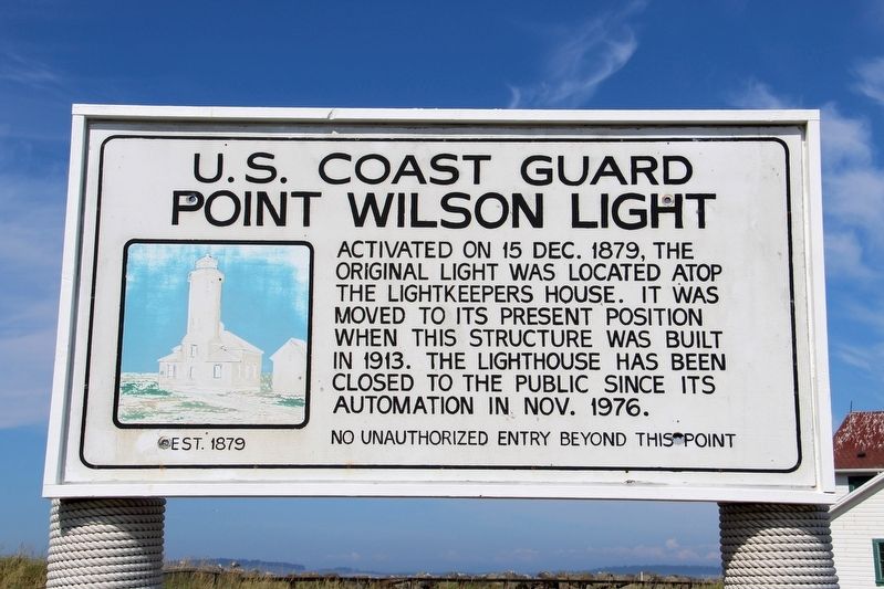
U.S. Coast Guard
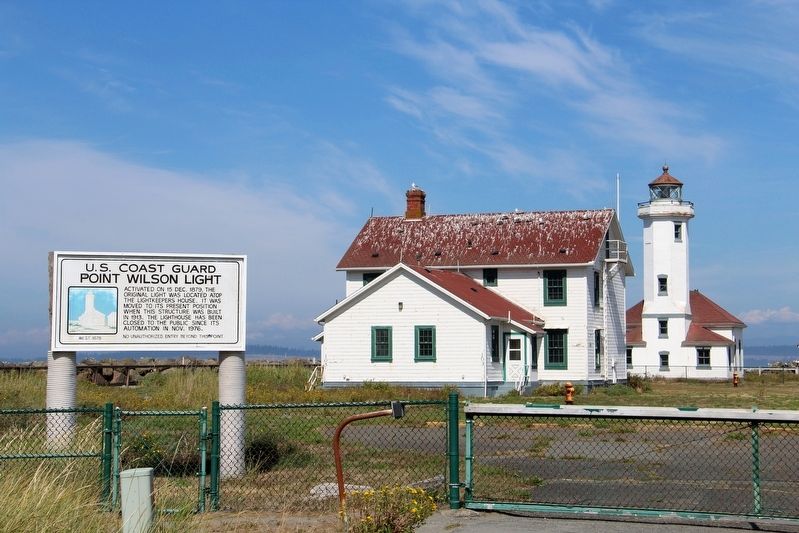
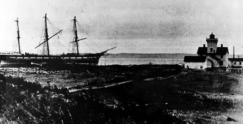
Activated on 15 Dec. 1879, the original light was located atop the lightkeepers house. It was moved to its present position when this structure was built in 1913. The lighthouse has been closed to the public since its automation in Nov. 1976.
Erected by U.S. Coast Guard.
Topics and series. This historical marker is listed in these topic lists: Communications • Waterways & Vessels. In addition, it is included in the Carnegie Libraries, and the Lighthouses series lists. A significant historical date for this entry is December 15, 1879.
Location. 48° 8.622′ N, 122° 45.36′ W. Marker is in Port Townsend, Washington, in Jefferson County. Marker is on Harbor Defense Way east of Knapp Circle. Marker is at eastern terminus of Harbor Defense Way. Touch for map. Marker is in this post office area: Port Townsend WA 98368, United States of America. Touch for directions.
Other nearby markers. At least 8 other markers are within 2 miles of this marker, measured as the crow flies. Point Wilson Lighthouse (about 300 feet away, measured in a direct line); Cemetery (approx. 1.1 miles away); Point Hudson History (approx. 1.7 miles away); Hudson Beach / Big Heart (approx. 1.8 miles away); U.S. Coast Guard Memorial (approx. 1.8 miles away); Korean War Memorial (approx. 1.8 miles away); Point Hudson Shoreline (approx. 1.8 miles away); Starrett House (approx. 1.8 miles away). Touch for a list and map of all markers in Port Townsend.
Also see . . . Point Wilson Lighthouse. History Link website entry:
At a height of 51 feet, the beacon is the tallest on Puget Sound, marking the entrance to Admiralty Inlet. It is one of the most important navigational aids in Washington, a link connecting Puget Sound and the Strait of Juan de Fuca. (Daryl C. McClary, HistoryLink.org, posted April 21, 2004) (Submitted on May 5, 2022, by Duane and Tracy Marsteller of Murfreesboro, Tennessee.)
Credits. This page was last revised on May 14, 2022. It was originally submitted on May 4, 2022, by Duane and Tracy Marsteller of Murfreesboro, Tennessee. This page has been viewed 91 times since then and 4 times this year. Photos: 1, 2, 3. submitted on May 5, 2022, by Duane and Tracy Marsteller of Murfreesboro, Tennessee.


