Greenville in Wayne County, Missouri — The American Midwest (Upper Plains)
Old Greenville's Flood History
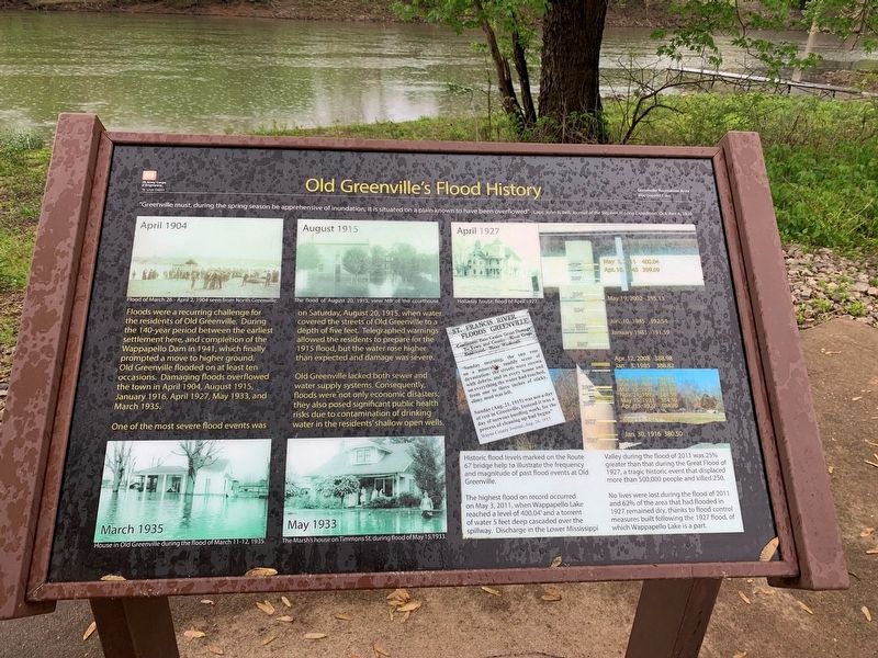
Floods were a recurring challenge for the residents of Old Greenville. During the 14-year period between the earliest settlement here, and completion of the Wappapello dam in 1941, which finally prompted a move to higher ground, Old Greenville flooded at least ten occasions. Damaging floods overflowed the town in April 1904, August 1915, January 1916, April 1927, May 1933, and march 1935.
One of the most severe flood events was on Saturday, august 20, 1915, when water covered the streets of Old Greenville to a depth of five feet. Telegraphed warnings allowed the residents to prepared for the 1915 flood, but the water rose higher than expected and damage was severe.
Old Greenville lacked both sewer and water supply systems. Consequently, floods were not only economic disasters; they also posed significant public health risks due to contamination of drinking water in the residents' shallow open wells.
(Sidebar):
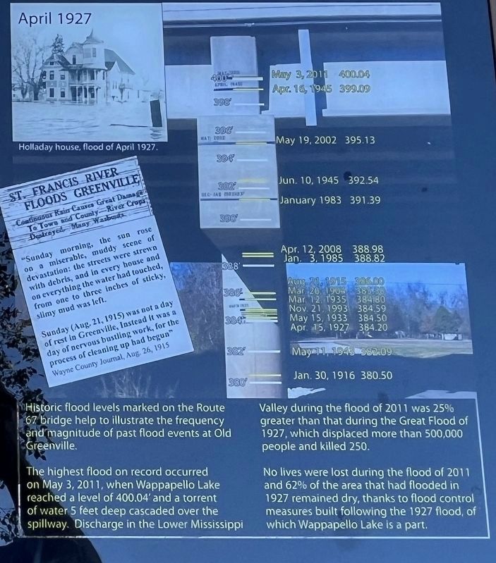
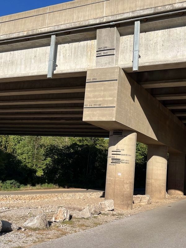
Historic flood levels marked on the Route 67 bridge help to illustrate the frequency and magnitude of past flood events at Old Greenville.
The highest flood on record occurred on May 3, 2011, when Wappapello Lake reached a level of 400.04' and a torrent of water 5 feet deep cascaded over the spillway. Discharge in the Lower Mississippi Valley during the flood of 2011 was 25% greater than the Great Flood of 1927, which displaced more than 500,000 people and killed 250.
No lives were lost during the flood of 2011 and 62% of the area that had flooded in 1927 remained dry, thanks to flood control measures built following the 1927 flood, of which Wappapello Lake is a part.
Topics. This historical marker is listed in these topic lists: Disasters • Roads & Vehicles • Waterways & Vessels. A significant historical year for this entry is 1904.
Location. 37° 5.759′ N, 90° 27.175′ W. Marker is in Greenville, Missouri, in Wayne County. Marker can be reached from U.S. 67, 0.2 miles north of State Highway FF, on the right when traveling north. Located at the boat ramp within the Greenville Recreation Area. Touch for map. Marker is in this post office area: Greenville MO 63944, United States of America. Touch for directions.
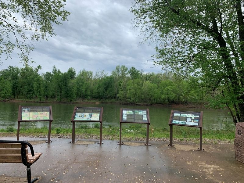
Other nearby markers. At least 8 other markers are within walking distance of this marker. Crossing the St. Francis River at Old Greenville (here, next to this marker); Bettis Ferry (here, next to this marker); Cherokee Trail of Tears (here, next to this marker); Old Greenville in 1840 - On The Road to the Old Southwest (here, next to this marker); Bedwell Tavern (approx. ¼ mile away); Old Greenville's Timmons Street Business District (approx. ¼ mile away); Memory Lane Trail (approx. ¼ mile away); Old Greenville - Hiram N. Hollady's Company Town (approx. ¼ mile away). Touch for a list and map of all markers in Greenville.
Credits. This page was last revised on October 27, 2022. It was originally submitted on May 5, 2022, by Thomas Smith of Waterloo, Ill. This page has been viewed 447 times since then and 82 times this year. Photos: 1, 2. submitted on May 5, 2022, by Thomas Smith of Waterloo, Ill. 3, 4. submitted on October 27, 2022, by Craig Swain of Leesburg, Virginia. • Devry Becker Jones was the editor who published this page.


