San Juan Capistrano in Orange County, California — The American West (Pacific Coastal)
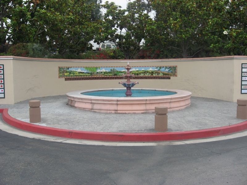
For Many Years...
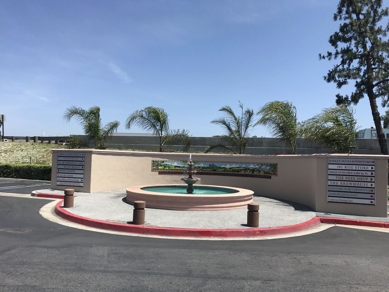
Photographed by Adam Margolis, May 5, 2022
1. For Many Years... Marker
Erected 1990.
Topics. This historical marker is listed in these topic lists: Religion & Religious Structures • Waterways & Vessels. A significant historical year for this entry is 1835.
Location. 33° 29.763′ N, 117° 39.582′ W. Marker is in San Juan Capistrano, California, in Orange County. It is on Plaza Drive, in the median. Touch for map. Marker is in this post office area: San Juan Capistrano CA 92675, United States of America. Touch for directions.

Regionally, this marker is in Greater Los Angeles and in the Peninsular Ranges. It is also on the American Pacific
this page online
Other nearby markers. At least 8 other markers are within walking distance of this marker: In 1776 (about 600 feet away, measured in a direct line); Mission Orchard Wall Foundations (approx. 0.2 miles away); Egan House (approx. ¼ mile away); Judge Richard Egan House (approx. 0.3 miles away); Judge Egan House (approx. 0.3 miles away); "El Adobe de Capistrano" (approx. 0.3 miles away); Sergeant Jose Francisco Ortega (approx. 0.3 miles away); Esslinger Building (approx. 0.3 miles away). Touch for a list and map of all markers in San Juan Capistrano.
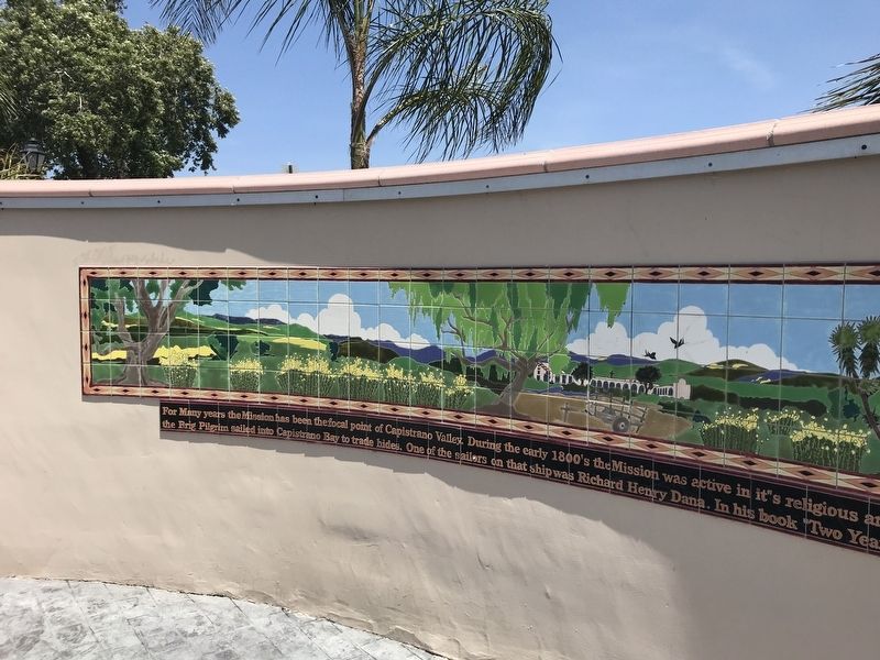
Photographed by Adam Margolis, May 5, 2022
2. For Many Years... Marker
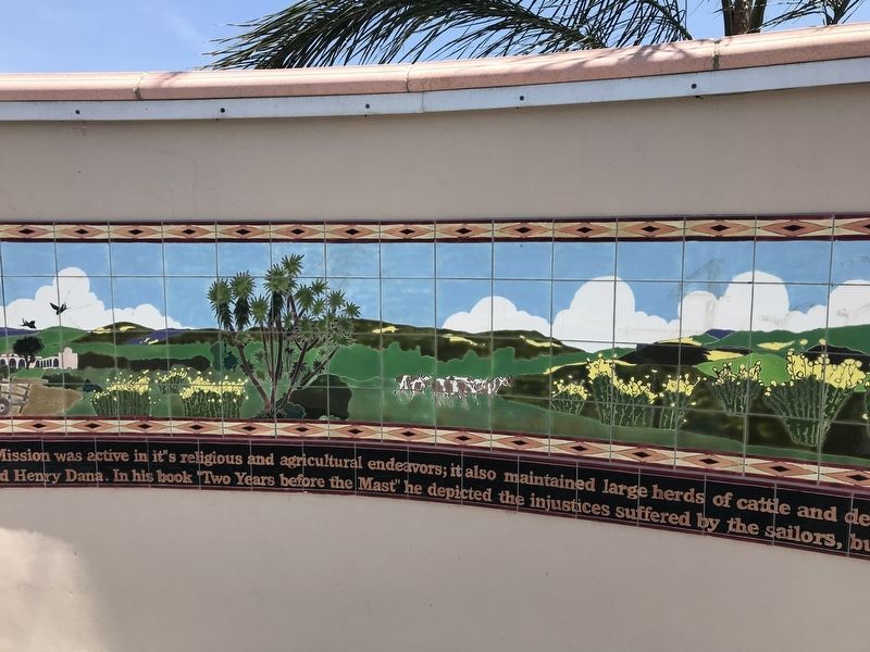
Photographed by Adam Margolis, May 5, 2022
3. For Many Years... Marker
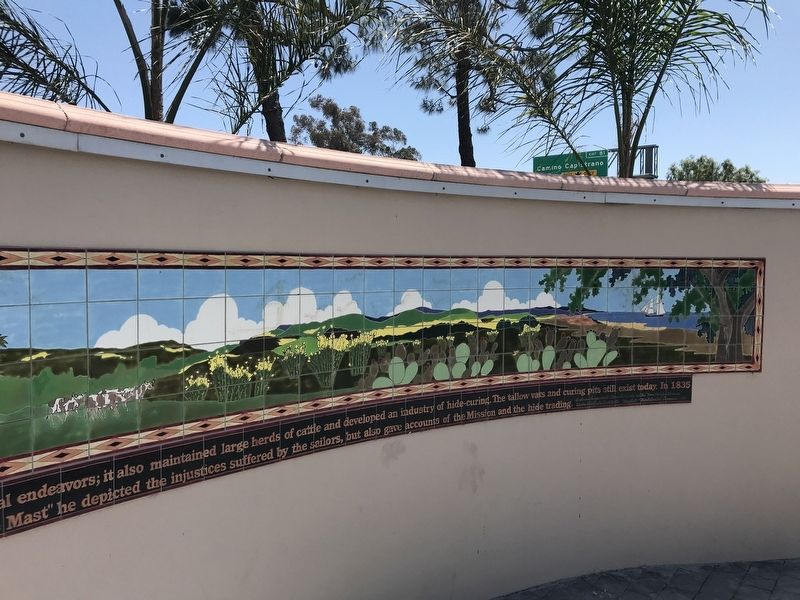
Photographed by Adam Margolis, May 5, 2022
4. For Many Years... Marker
Photographed by Adam Margolis, July 8, 2010
5. For Many Years... Marker
Credits. This page was last revised on May 17, 2022. It was originally submitted on May 6, 2022, by Adam Margolis of Mission Viejo, California. This page has been viewed 204 times since then and 13 times this year. Photos: 1, 2, 3, 4, 5. submitted on May 6, 2022, by Adam Margolis of Mission Viejo, California. • Syd Whittle was the editor who published this page.
