Greenville in Wayne County, Missouri — The American Midwest (Upper Plains)
Cherokee Trail of Tears
Bettis Ford, December 1838
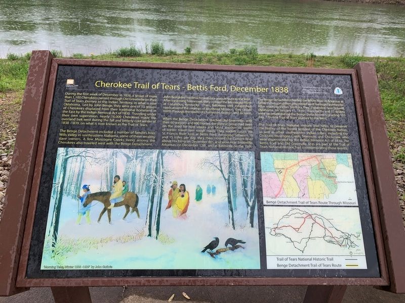
During the first week of December in 1838, a group of more than 1,100 Cherokees passed through Old Greenville on their Trail of Tears journey to the Indian Territory, in what is now Oklahoma. Led by John Benge, they were one of 13 groups of Cherokees displaced from their traditional homeland in the East by the Indian Removal Act of 1830. Traveling under their own supervision, nearly 16,000 Cherokees made the overland trek west during the fall and bitterly cold winter of 1838-1839, on what is now known as the Trail of Tears.
The Benge Detachment included a number of families from Wills Valley in northeastern Alabama, some of them wealthy slave owners. A few Muscogee Creeks living among the Cherokees also traveled west with the Benge Detachment.
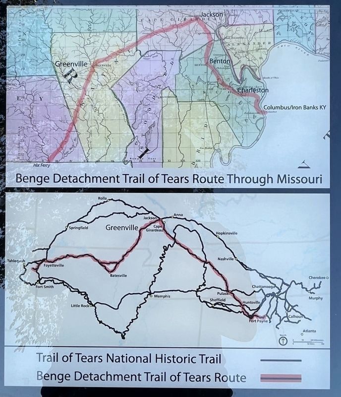
John Benge led his detachment on a unique route to the West, After traversing Tennessee, they crossed the Mississippi River at Columbus, Kentucky. Then, following well established roads around the swamps of southeast Missouri, they circled north through the towns of Charleston, Benton, and Jackson.
When the Benge Detachment reached Old Greenville, with their 60 wagons and 600 horses, the diverse group had been on the road for nine weeks and faced another six weeks of winter travel over rough roads. They waded across the St. Francis River here at Bettis Ford. Averaging between 10 Choctaw, Muscogee Creek, Seminole, and Chickasaw, who and 15 miles per day, they then crossed the Current River above Hix Ferry on December 8th, and were near Smithville, Arkansas, on December 12th, and at Batesville on the 15th.
The Benge Detachment forded the White River in Arkansas at Talbert's Ferry and then proceeded west through Fayetteville. After reaching Indian Territory, they disbanded near StilwelI, Oklahoma, on January 11, 1839. Three births and 33 deaths were recorded during the Benge Detachment's grueling 103 day, 770-mile Trail of Tears journey to the West.
The Trail of Tears National Historic Trail helps to preserve the history of the forced removal of the Cherokee Nation, as well as other southeastern Indian tribes, including the Choctaw, Muscogee Creek, Seminole, and Chickasaw, who were dispossessed by the Indian Removal Act of 1830. The Bettis Ford and Old Greenville sites are part of the Trail of Tears National Historic Trail commemorating those events.
Topics. This historical marker is listed in these topic lists: Native Americans • Notable Events. A significant historical year for this entry is 1838.
Location. 37° 5.759′ N, 90° 27.172′ W. Marker is in Greenville, Missouri, in Wayne County. Marker is on U.S. 67 just north of State Highway
FF, on the right when traveling north. Located at the boat ramp within the Greenville Recreation Area. Touch for map. Marker is in this post office area: Greenville MO 63944, United States of America. Touch for directions.
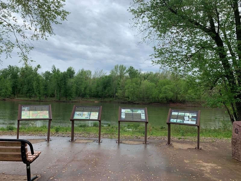
Other nearby markers. At least 8 other markers are within walking distance of this marker. Old Greenville in 1840 - On The Road to the Old Southwest (here, next to this marker); Crossing the St. Francis River at Old Greenville (here, next to this marker); Old Greenville's Flood History (here, next to this marker); Bettis Ferry (here, next to this marker); Bedwell Tavern (approx. ¼ mile away); Old Greenville's Timmons Street Business District (approx. ¼ mile away); Memory Lane Trail (approx. 0.3 miles away); Old Greenville - Hiram N. Hollady's Company Town (approx. 0.3 miles away). Touch for a list and map of all markers in Greenville.
Credits. This page was last revised on October 27, 2022. It was originally submitted on May 6, 2022, by Thomas Smith of Waterloo, Ill. This page has been viewed 455 times since then and 109 times this year. Photos: 1. submitted on May 6, 2022, by Thomas Smith of Waterloo, Ill. 2. submitted on October 27, 2022, by Craig Swain of Leesburg, Virginia. 3. submitted on May 6, 2022, by Thomas Smith of Waterloo, Ill. • Devry Becker Jones was the editor who published this page.


