Fairfax, Virginia — The American South (Mid-Atlantic)
Richard Ratcliffe
ca. 1750-1825
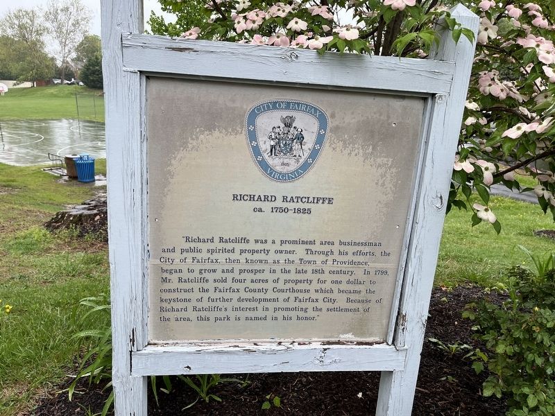
Erected by City of Fairfax, Virginia.
Topics. This historical marker is listed in these topic lists: Government & Politics • Political Subdivisions • Settlements & Settlers. A significant historical year for this entry is 1799.
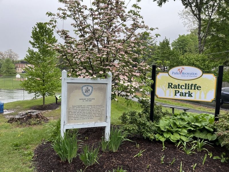
Location. 38° 50.557′ N, 77° 17.976′ W. Marker is in Fairfax, Virginia. It is at the intersection of Sager Avenue and Locust Street when traveling west on Sager Avenue. Touch for map. Marker is at or near this postal address: 10301 Sager Ave, Fairfax VA 22030, United States of America. Touch for directions.

Regionally, this marker is in the Washington Metropolitan Area and in Northern
this page online
Other nearby markers. At least 8 other markers are within walking distance of this marker: Harold's Court (a few steps from this marker); Fairfax (about 800 feet away, measured in a direct line); Historic Fairfax Elementary School (about 800 feet away); Draper House (approx. 0.3 miles away); a different marker also named Draper House (approx. 0.3 miles away); Ratcliffe-Allison House (Earp’s) (approx. 0.4 miles away); The Sauls House (approx. 0.4 miles away); Victorian Square Addition (approx. 0.4 miles away). Touch for a list and map of all markers in Fairfax.
Credits. This page was last revised on May 6, 2022. It was originally submitted on May 6, 2022, by Devry Becker Jones of Washington, District of Columbia. This page has been viewed 360 times since then and 31 times this year. Photos: 1, 2. submitted on May 6, 2022, by Devry Becker Jones of Washington, District of Columbia.
