Alabama in Genesee County, New York — The American Northeast (Mid-Atlantic)
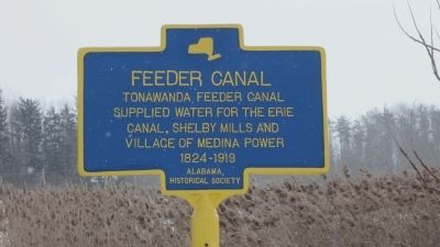
Feeder Canal
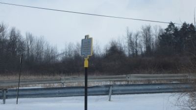
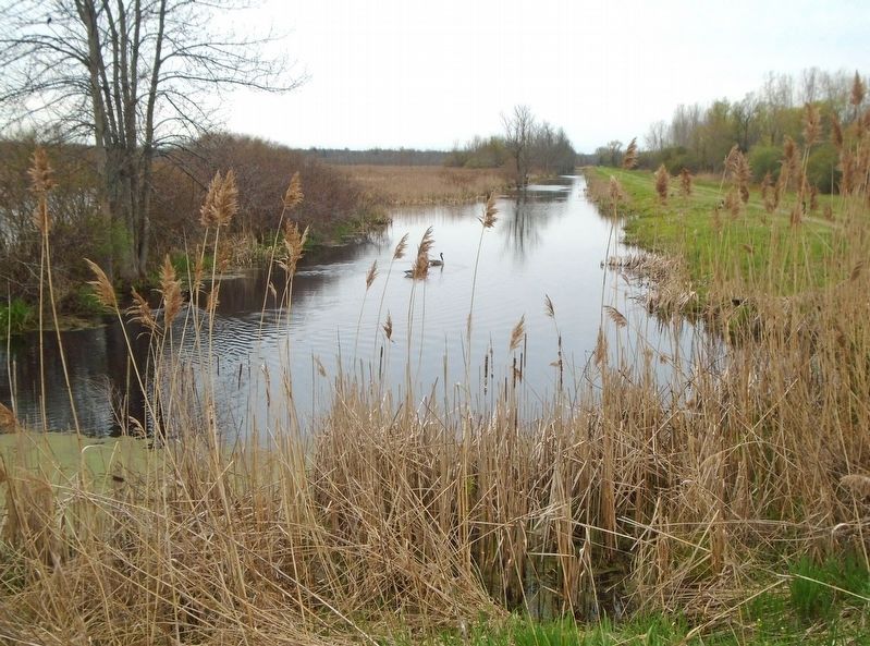
Tonawanda Feeder Canal supplied water for the Erie Canal, Shelby mills, and Village of Medina power 1824-1919.
Erected 2012 by Alabama Historical Society.
Topics. This historical marker is listed in this topic list: Waterways & Vessels. A significant historical year for this entry is 1824.
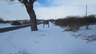
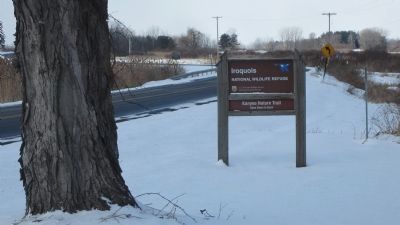
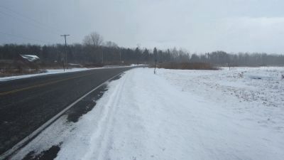
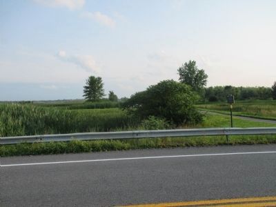
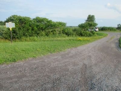
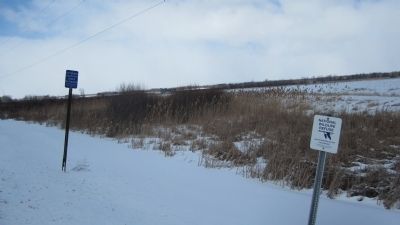
Location. 43° 6.993′ N, 78° 25.995′ W. Marker is in Alabama, New York, in Genesee County. Marker is on Lewiston Road (New York State Route 77) 2.7 miles north of Allegany Road (New York State Route 63), on the left when traveling north. The marker is in the Town of Alabama at the very edge of Post Office area Basom. The GPS coordinates listed here are for the nearby parking lot for the Kanyoo Trail of the Iroquois National Wildlife Refuge. This is a close safe place to park. Touch for map. Marker is in this post office area: Basom NY 14013, United States of America. Touch for directions.
Other nearby markers. At least 8 other markers are within 5 miles of this marker, measured as the crow flies. Welcome to Iroquois National Wildlife Refuge (approx. half a mile away); Olsen Marsh (approx. half a mile away); Charles Stielow (approx. 2.1 miles away); Basom Plot (approx. 3.7 miles away); Treaty of 1857 (approx. 3.9 miles away); Burial Ground (approx. 4 miles away); Trinity Complex (approx. 4.3 miles away); Neuter Fort (approx. 4.6 miles away). Touch for a list and map of all markers in Alabama.
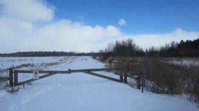
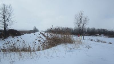
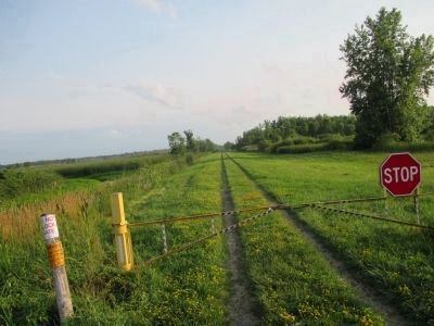
More about this marker. Maps may show the Feeder Road. The marker is located at the intersection of the Feeder Road and NY Route 77, however Feeder Road is gated. A portion of it is opened seasonally from NY Route 77, but only to about halfway to the next road. NY Route 77 is entirely marked North-South, but generally bends in this area to later become East-West. The marker is actually on the Tonawanda Wildlife Management area; NY State land.
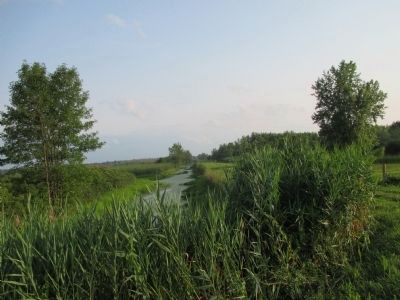
Regarding Feeder Canal. Water was pumped from Tonawanda Creek to the south, into the Feeder Canal, and thence to Oak Orchard Creek and the Erie Canal.
Also see . . .
1. Iroquois National Wildlife Refuge. U.S. Fish & Wildlife Service website entry (Submitted on March 4, 2014, by Anton Schwarzmueller of Wilson, New York.)
2. Oak Orchard/Tonawanda Bird Conservation Area. New York State Department of Environmental Coservation website entry (Submitted on March 4, 2014, by Anton Schwarzmueller of Wilson, New York.)
Credits. This page was last revised on February 12, 2024. It was originally submitted on March 4, 2014, by Anton Schwarzmueller of Wilson, New York. This page has been viewed 838 times since then and 40 times this year. Last updated on May 6, 2022, by Bradley Owen of Morgantown, West Virginia. Photos: 1, 2, 3, 4, 5. submitted on March 4, 2014, by Anton Schwarzmueller of Wilson, New York. 6, 7. submitted on August 7, 2014, by Anton Schwarzmueller of Wilson, New York. 8, 9. submitted on March 4, 2014, by Anton Schwarzmueller of Wilson, New York. 10, 11, 12, 13. submitted on August 7, 2014, by Anton Schwarzmueller of Wilson, New York. 14. submitted on March 4, 2014, by Anton Schwarzmueller of Wilson, New York. 15. submitted on May 6, 2022, by William Fischer, Jr. of Scranton, Pennsylvania. • Michael Herrick was the editor who published this page.
