Near Clifton in Fairfax County, Virginia — The American South (Mid-Atlantic)
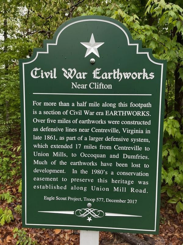
Civil War Earthworks
Near Clifton
Erected 2017 by Troop 577, Eagle Scout Project.
Topics. This historical marker is listed in these topic lists: Forts and Castles • War, US Civil. A significant historical year for this entry is 1861.
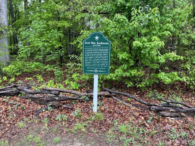
Location. 38° 48.791′ N, 77° 24.949′ W. Marker is near Clifton, Virginia, in Fairfax County. Marker is on Union Mill Road (County Road 659) 0.2 miles south of South Springs Drive, on the right when traveling south. Touch for map. Marker is in this post office area: Clifton VA 20124, United States of America. Touch for directions.
Other nearby markers. At least 8 other markers are within 2 miles of this marker, measured as the crow flies. Old Dominion Stone Company Millstone (approx. half a mile away); Union Mills Historic Site (approx. 1½ miles away); Ivakota Farm (approx. 1½ miles away); Military Railroad Terminus (approx. 1½ miles away); Civil War Fortifications (approx. 1.6 miles away); Mystery Of The Centreville Six (approx. 1.8 miles away); Blackburn's Ford (approx. 1.9 miles away); a different marker also named Blackburn’s Ford (approx. 1.9 miles away). Touch for a list and map of all markers in Clifton.
Credits. This page was last revised on May 7, 2022. It was originally submitted on May 7, 2022, by Devry Becker Jones of Washington, District of Columbia. This page has been viewed 262 times since then and 56 times this year. Photos: 1, 2. submitted on May 7, 2022, by Devry Becker Jones of Washington, District of Columbia.

