Greenville in Wayne County, Missouri — The American Midwest (Upper Plains)
Crossing the St. Francis River at Old Greenville
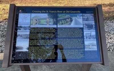
Inscription.
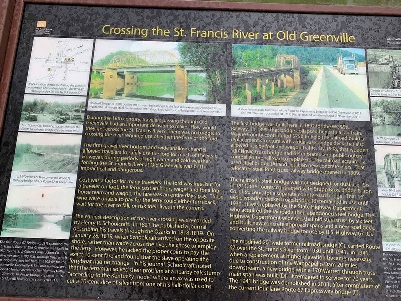
During the 19th century, travelers passing through Old Greenville had an important decision to make. How would they get across the St. Francis River? There was no bridge crossing the river required use of either the ferry or the ford.
The firm gravel river bottom and wide shallow channel allowed travelers to safely use the ford for much of the year, However, during periods of high water and cold weather, fording the St. Francis River at Old Greenville was both impractical and dangerous.
Cost was a factor for many travelers. The ford was free, but for a traveler on foot, the ferry cost an hours wages and for a four-horse team and wagon, the fare was an entire day's pay. Those who were unable to pay for the ferry could either turn back, wait for the river to fall, or risk their lives in the current.
The earliest description of the river crossing was recorded by Henry R. Schoolcraft. In 1821, he published a journal describing his travels through the Ozarks in 1818-1819. On January 28, 1819, when Schoolcraft arrived on the opposite shore, rather than wade across the river, he chose to employ the ferry. However, he lacked the coins to pay the exact 10-cent fare and found that the slave operating the ferryboat had no change. In his journal, Schoolcraft noted that the ferryman solved their problem at a nearby oak stump "according to the Kentucky mode," where an ax was used to cut a 10-cent slice of silver from one of his half-dollar coins.
The bridge was built here in 1892 for the WG&StL Railway. In 1899, that bridge collapsed beneath a log train. Wayne County contributed $750 to help the railroad build a replacement structure with a dual-use bridge deck that also allowed use by foot and wagon traffic. By 1908, that wooden 100' Howe truss bridge had deteriorated and public outcry compelled the railroad to replace it. The railroad acquired a used steel bridge (A) and set it on new concrete piers. That relocated steel Pratt truss railway bridge opened in 1909.
The railroad steel bridge was not designed for dual use. So in 1911, the county contracted with Stupp Bros. Bridge & Iron co. of St.Louis for a separate county road bridge (B) remained in use until 1930. It was replaced by the State Highway Department who acquired the railroad's then abandoned steel bridge. The Highway Department widened that old steel truss by six feet and built new concrete approach spans and new road deck, converting the railway bridge for use by U. S. Highway 67 (C).
The modified 20'-wide former railroad bridge (C), carried Route 67 over the St. Francis River from 1930 until 1941. In 1941, when a replacement at higher elevation became necessary, due to
construction of the Wappapello Dam 20 mi9les downstream, a new bridge with a 170' Warren through truss main span was built (D). It remained in service for 70 years. The 1941 bridge was demolished in 2011, after completion of the current four-lane Route 67 Expressway Bridge (E).
Topics. This historical marker is listed in these topic lists: Exploration • Railroads & Streetcars • Settlements & Settlers • Waterways & Vessels. A significant historical year for this entry is 1819.
Location. 37° 5.759′ N, 90° 27.174′ W. Marker is in Greenville, Missouri, in Wayne County. Marker is on U.S. 67 just north of State Highway FF, on the right when traveling north. Located at the boat ramp within the Greenville Recreation Area. Touch for map. Marker is in this post office area: Greenville MO 63944, United States of America. Touch for directions.
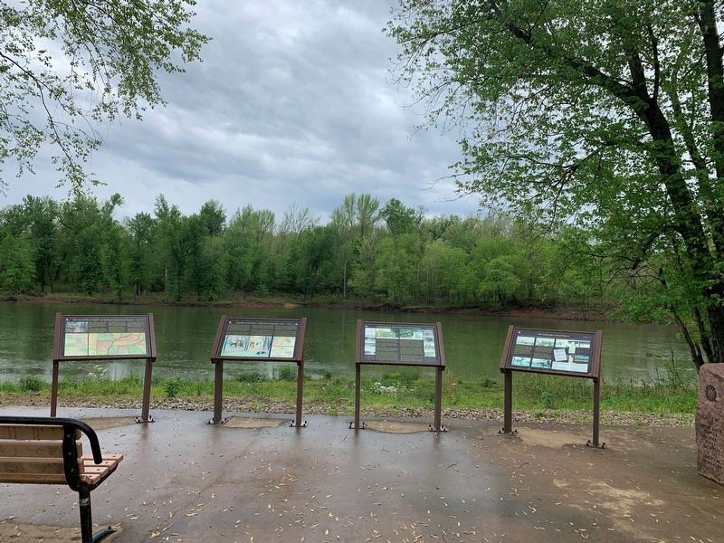
Other nearby markers. At least 8 other markers are within walking distance of this marker. Old Greenville's Flood History (here, next to this marker); Cherokee Trail of Tears (here, next to this marker); Bettis Ferry (here, next to this marker); Old Greenville in 1840 - On The Road to the Old Southwest (here, next to this marker); Bedwell Tavern (approx. ¼ mile away); Old Greenville's Timmons Street Business District (approx. ¼ mile away); Memory Lane Trail (approx. ¼ mile away); Old Greenville - Hiram N. Hollady's Company Town (approx. ¼ mile away). Touch for a list and map of all markers in Greenville.

Photographed By Craig Swain, September 27, 2022
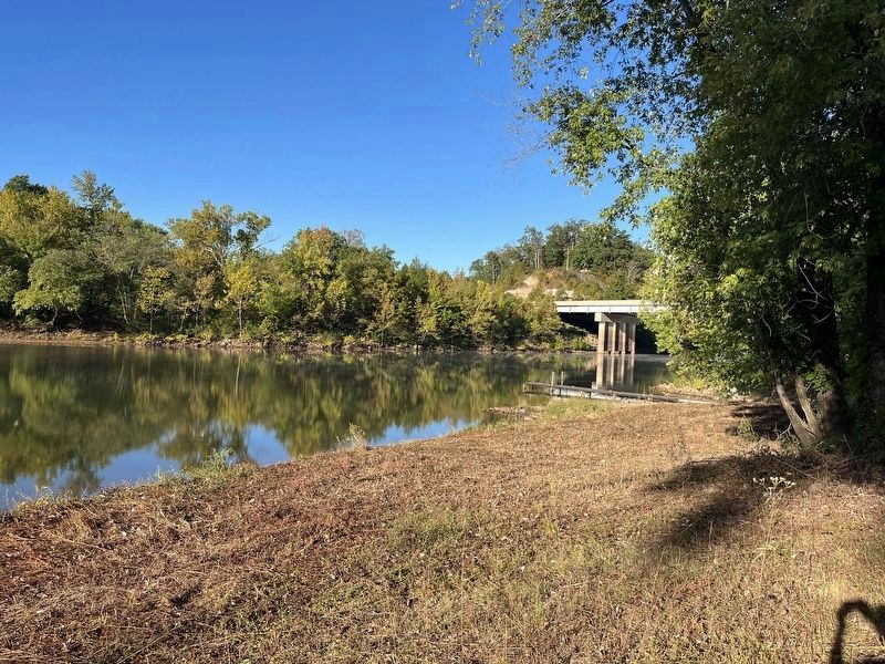
4. Bridge Site
Looking upstream on Lake Wappapello/St. Francis River towards the site of the bridges. The modern expressway bridge's west side abutment is visible on the far bank. Note the hill behind the bridge, to orient with the photos on the marker.
Credits. This page was last revised on October 27, 2022. It was originally submitted on May 8, 2022, by Thomas Smith of Waterloo, Ill. This page has been viewed 205 times since then and 24 times this year. Photos: 1. submitted on October 27, 2022, by Craig Swain of Leesburg, Virginia. 2. submitted on May 8, 2022, by Thomas Smith of Waterloo, Ill. 3. submitted on May 9, 2022, by Thomas Smith of Waterloo, Ill. 4. submitted on October 27, 2022, by Craig Swain of Leesburg, Virginia. • Devry Becker Jones was the editor who published this page.


