Near Peever in Roberts County, South Dakota — The American Midwest (Upper Plains)
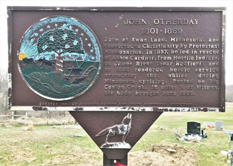
John Otherday
1801-1869
Erected 1962 by Roberts County and State Historical Societies. (Marker Number 353.)
Topics and series. This historical marker is listed in these topic lists: Cemeteries & Burial Sites • Native Americans. In addition, it is included in the South Dakota State Historical Society Markers series list. A significant historical year for this entry is 1801.
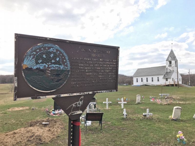
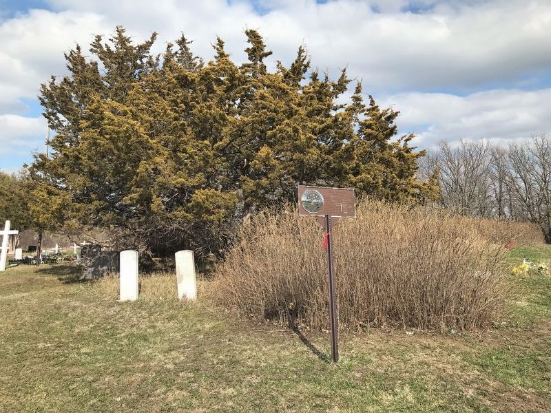
Location. 45° 27.719′ N, 97° 3.183′ W. Marker is near Peever, South Dakota, in Roberts County. Marker can be reached from BIA 200, 1.8 miles west of Whipple Road (County Highway 34), on the left when traveling west. Located in Ascension (Iyakaptapi) Presbyterian Cemetery in the Big Coulee District of the Lake Traverse Reservation. Touch for map. Marker is in this post office area: Peever SD 57257, United States of America. Touch for directions.
Other nearby markers. At least 8 other markers are within 15 miles of this marker, measured as the crow flies. Whetstone Valley Rest Area (approx. 4˝ miles away); Roberts County / Grant County (approx. 11 miles away); Roberts County / Day County South Dakota (approx. 12 miles away); Wadsworth Trail (approx. 13.7 miles away in Minnesota); Stones from Log Flour Mill (approx. 14 miles away); Roberts County Veterans Memorial (approx. 14 miles away); Travare (approx. 14.3 miles away); Ancient River Warren Channel (approx. 14.3 miles away).
Credits. This page was last revised on May 10, 2022. It was originally submitted on May 9, 2022. This page has been viewed 98 times since then and 6 times this year. Photos: 1, 2, 3. submitted on May 9, 2022.


