Near Corona in Roberts County, South Dakota — The American Midwest (Upper Plains)
Roberts County / Grant County
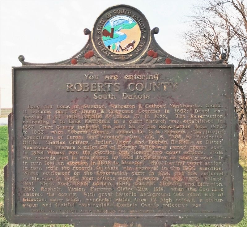
Roberts County
South Dakota
Long the home of Sisseton, Wahpeton & Cuthead Yanktonaise Sioux, it became part of Deuel & Cheyenne Counties in 1862; Deuel extending N to 46th parallel (4 miles N) in 1872. The Reservation extending S to Lake Kampeska in a giant flatiron was established in 1867. Grant County included the part SE of the Reservation from 1873 to 1883, when Roberts County, named for S. G. Roberts, Territorial Councilman of Fargo, was created. Org. Aug. 6, 1883 by Frederick Dittes, Charles Crissey, Indian Agent and Reuben R. Hall, at Dittes’ Residence, Travare 2 miles SW of Browns Valley was named county seat. In 1884 Wilmot won the election but, losing two court actions, stole the records and it was named by 1885 Legislature as county seat. It in turn lost an election in 1898 to Sisseton, who, fearing court action, in turn stole the records to again win approval in the 1900 election. White settlement on the Reservation came in 1892 and the railroad to Sisseton in 1893. Post offices were: Sisseton Agency, 1872; Wilmot, 1881; White Rock, 1885; Corona, 1886; Summit, Sisseton and Effington, 1892. Rosholt, Victor, Hammer, Claire City, 1914, when the Soo Line entered the county. With great historic background (see giant map at Sisseton) many lakes, wonderful vistas from its high coteau, a picturesque and fruitful countryside, Roberts County welcomes you.
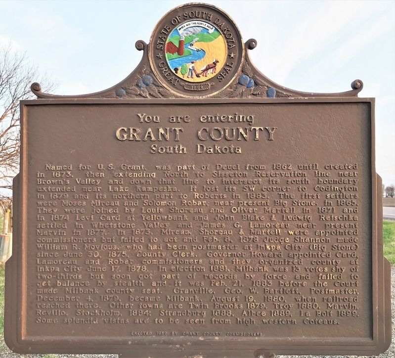
Grant County
South Dakota
Named for U. S. Grant, was part of Deuel from 1862 until created in 1873, then extending North to Sisseton Reservation line near Brown's Valley and down that line to intersect its south boundary extended near Lake Kampeska. It lost its SW corner to Codington in 1879 and its northern part to Roberts in 1883. The first settlers were Moses Mireau and Solomon Robar, near present Big Stone, in 1865. They were joined by Louis Shoreau and Oliver Martell in 1871 and in 1874 Levi Card at Yellowbank and John Blake & Ludwig Reischka settled in Whetstone Valley and James G. Lamoreau near present Marvin in 1877. In 1873, Mireau, Shoreau & Martell were appointed commissioners but failed to act and Feb. 8, 1878 Judge Shannon made William R. Movious, who had been postmaster at Inkpa City (Big Stone) since June 30, 1875, County Clerk. Governor Howard appointed Card, Lamoreau and Robar commissioners and they organized county at Inkpa City June 17, 1878. In election 1881, Milbank was 13 votes shy of two-thirds but soon got part of records by force and failed to get balance by stealth and it was Feb. 21, 1883 before the Court made Milbank county seat. Granville, Geo. W. Bartlett, Postmaster, December 4, 1879, became Milbank, August 19, 1880, when railroad reached there. Other towns are Twin Brooks 1879, Troy 1880, Marvin, Revillo, Stockholm, 1884; Strandburg 1888, Albee 1889, La Bolt 1899. Some splendid vistas are to be seen from high western Coteaus.
Erected 1959 by Roberts County Commissioners Hull, Christofferson, Helgeson, Dybdahl and Dickenson; and Grant County Commissioners. (Marker Number 251.)
Topics and series. This historical marker is listed in these topic lists: Native Americans • Settlements & Settlers. In addition, it is included in the South Dakota State Historical Society Markers series list. A significant historical year for this entry is 1862.
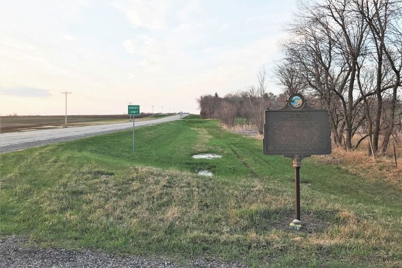
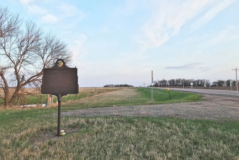
Location. 45° 19.596′ N, 96° 38.219′ W. Marker is near Corona, South Dakota, in Roberts County. Marker is at the intersection of 478th Avenue (State Highway 15) and 142nd Street, on the right when traveling north on 478th Avenue. Touch for map. Marker is in this post office area: Milbank SD 57252, United States of America. Touch for directions.
Other nearby markers. At least 7 other markers are within 14 miles of this marker, measured as the crow flies. First German Baptist Church (approx. 4.6 miles away); Grant County Veterans Memorial (approx. 7˝ miles away); American Legion Junior Baseball Monument (approx. 7˝ miles away); Grant County Court House Veterans Memorial (approx. 7˝ miles away); Gen. A. A. Humphrey Post (approx. 7˝ miles away); Big Stone County Courthouse (approx. 9˝ miles away in Minnesota); The Chicago, Milwaukee, St. Paul & Pacific Depot (approx. 13.4 miles away in Minnesota).
Credits. This page was last revised on May 10, 2022. It was originally submitted on May 9, 2022. This page has been viewed 160 times since then and 21 times this year. Photos: 1, 2, 3, 4. submitted on May 9, 2022.


