
Cedartown in Polk County, Georgia — The American South (South Atlantic)
Cedartown's City Plan
Photographed by Duane and Tracy Marsteller, May 5, 2022
1. Cedartown's City Plan Marker
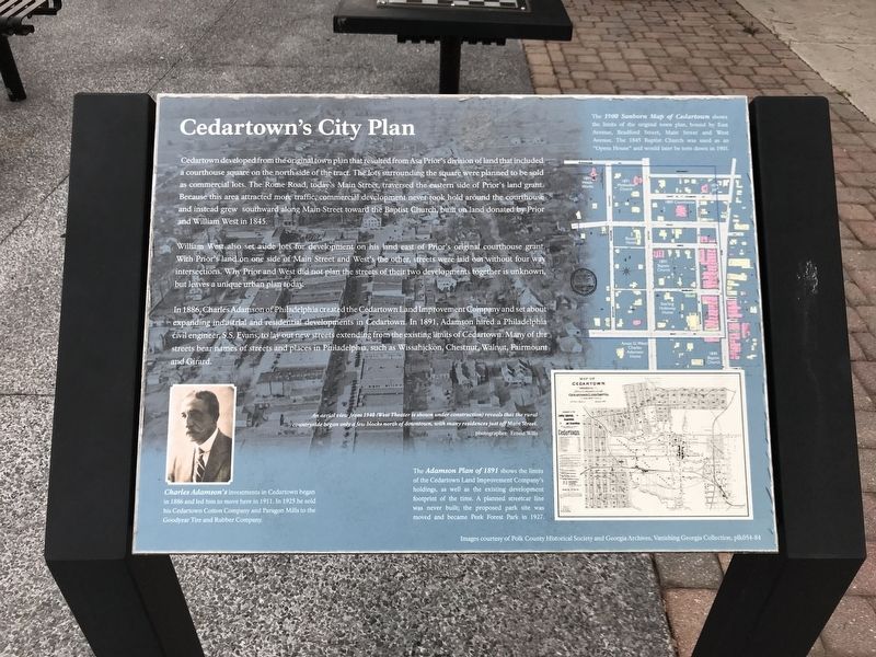
Cedartown developed from the original town plan that resulted from Asa Prior's division of land that included a courthouse square on the north side of the tract. The lots surrounding the square were planned to be sold as commercial lots. The Rome Road, today's Main Street, traversed the eastern side of Prior's land grant. Because this area attracted more traffic, commercial development never took hold around the courthouse and instead grew southward along Main Street toward the Baptist Church, built on land donated by Prior and William West in 1845.
William West also set aside lots for development on his land east of Prior's original courthouse grant. With Prior's land on one side of Main Street and West's the other, streets were laid out without four way intersections. Why Prior and West did not plan the streets of their two developments together is unknown, but leaves a unique urban plan today.
In 1886, Charles Adamson of Philadelphia created the Cedartown Land Improvement Company and set about expanding industrial and residential developments in Cedartown. In 1891, Adamson hired a Philadelphia civil engineer,
this page online
[Captions (clockwise from top right)]
• The 1900 Sanborn Map of Cedartown shows the limits of the original town plan, bound by East Avenue, Bradford Street, Main Street and West Avenue. The 1845 Baptist Church was used as an “Opera House” and would later be torn down in 1901.
• The Adamson Plan of 1891 shows the limits of the Cedartown Land Improvement Company's holdings, as well as the existing development footprint of the time. A planned streetcar line was never built; the proposed park site was moved and became Peek Forest Park in 1927.
• An aerial view from 1940 (West Theater is shown under construction) reveals that the rural countryside began only a few blocks north of downtown, with many residences just off Main Street. Photographer: Ernest Wills
• Charles Adamson's investments in Cedartown began in 1886 and led him to move here in 1911. In 1925 he sold his Cedartown Cotton Company and Paragon Mills to the Goodyear Tire and Rubber Company.
Images courtesy of Polk County Historical Society and Georgia Archives, Vanishing Georgia Collection, plk054-84
Topics.
Photographed by Duane and Tracy Marsteller, May 5, 2022
2. Cedartown's City Plan Marker
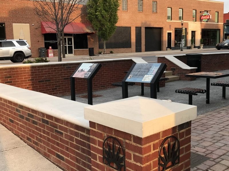
Featured marker is on the right.
Location. 34° 0.772′ N, 85° 15.298′ W. Marker is in Cedartown, Georgia, in Polk County. It is at the intersection of South Main Street (Business U.S. 27) and Grace Street, on the right when traveling south on South Main Street. Touch for map. Marker is at or near this postal address: 210 S Main St, Cedartown GA 30125, United States of America. Touch for directions.

Regionally, this marker is in Georgia’s Mountains. It is also in the American South and specifically in the Deep South. Globally, it is in North America, the Western Hemisphere, the Western World, and the Anglosphere. Historically, it finds itself in what was once the original Cherokee Nation, the territory of the Mississippian Culture, one of the original Thirteen Colonies, one of the Confederate States of America, and the Antebellum South.
Other nearby markers. At least 8 other markers are within walking distance of this marker: Founding of Cedartown (here, next to this marker); Parker and Lundy (a few steps from this marker); Public Works and Buildings of Cedartown (within shouting distance of this marker); Polk County Courthouses (within shouting distance of this marker); Polk County (about 300 feet away, measured in a direct line); Polk County Confederate Monument (about 300 feet away); Images of Yesteryear (about 300 feet away); Everyone Loves a Parade (about 400 feet away). Touch for a list and map of all markers in Cedartown.
Credits. This page was last revised on January 4, 2023. It was originally submitted on May 9, 2022, by Duane and Tracy Marsteller of Murfreesboro, Tennessee. This page has been viewed 530 times since then and 28 times this year. Photos: 1, 2. submitted on May 9, 2022, by Duane and Tracy Marsteller of Murfreesboro, Tennessee.
