Cedartown in Polk County, Georgia — The American South (South Atlantic)
Cobb's Corner

Photographed by Duane and Tracy Marsteller, May 5, 2022
1. Cobb's Corner Marker
[Captions (left to right)]
• Between the 1930s and 1950s, when these two photos were taken, on-street parking on Main Street was changed from angled to parallel parking to make way for better traffic flow, since Cobb's Corner was once the crossing of U.S. 27 and 278. Eventually U.S. 278 was rerouted away from downtown altogether in efforts to remove truck traffic from the tight intersection.
• Modern awnings and aluminum veneers hide the brick detailing of Cobb's Corner and the Houseal Building in this late 1960s image.
this page online
Images courtesy of Polk County Historical Society
Topics. This historical marker is listed in these topic lists: Industry & Commerce • Roads & Vehicles. A significant historical year for this entry is 1899.
Location. 34° 0.668′ N, 85° 15.304′ W. Marker is in Cedartown, Georgia, in Polk County. It is at the intersection of South Main Street (Business U.S. 27) and West Avenue, on the right when traveling south on South Main Street. Touch for map. Marker is at or near this postal address: 402 S Main St, Cedartown GA 30125, United States of America. Touch for directions.

Regionally, this marker is in the Mountains. It is also in the American South and specifically in the Deep South. Globally, it is in North America, the Western Hemisphere, the Western World, and the Anglosphere. Historically, it finds itself in what was once the original Cherokee Nation, the territory of the Mississippian Culture, one of the original Thirteen Colonies, one of the Confederate States of America, and the Antebellum South.
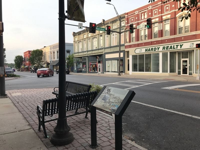
Photographed by Duane and Tracy Marsteller, May 5, 2022
2. Cobb's Corner Marker
Other nearby markers. At least 8 other markers are within walking distance of this marker: Houses of Worship in Downtown (within shouting distance of this marker); Before the Mall (within shouting distance of this marker); Everyone Loves a Parade (about 300 feet away, measured in a direct line); Images of Yesteryear (about 300 feet away); Site of the Hall-Chaudron Hospital (about 500 feet away); Sterling Holloway (about 600 feet away); Parker and Lundy (about 600 feet away); Cedartown's City Plan (about 600 feet away). Touch for a list and map of all markers in Cedartown.
Credits. This page was last revised on May 10, 2022. It was originally submitted on May 10, 2022, by Duane and Tracy Marsteller of Murfreesboro, Tennessee. This page has been viewed 625 times since then and 49 times this year. Photos: 1, 2. submitted on May 10, 2022, by Duane and Tracy Marsteller of Murfreesboro, Tennessee.
