Mableton in Cobb County, Georgia — The American South (South Atlantic)
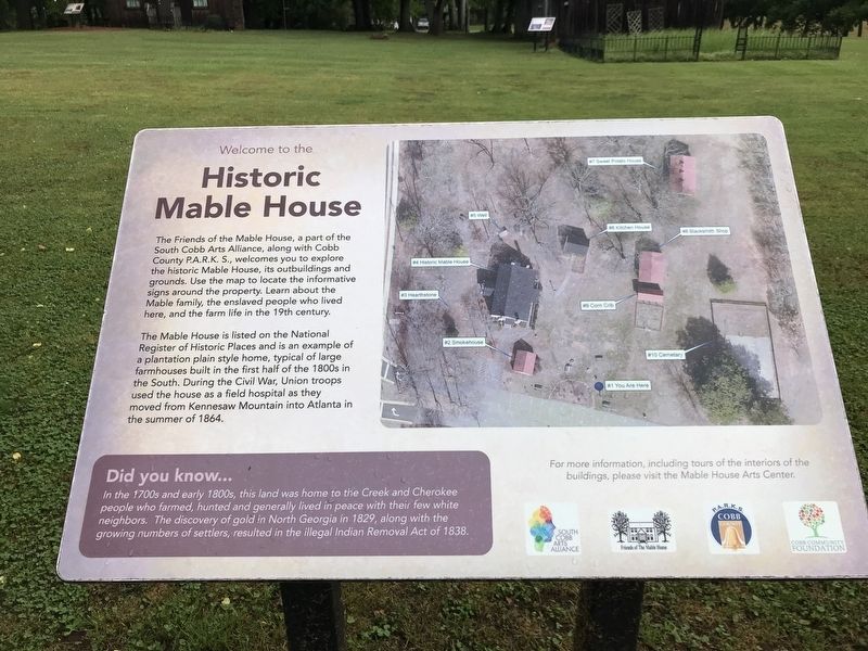
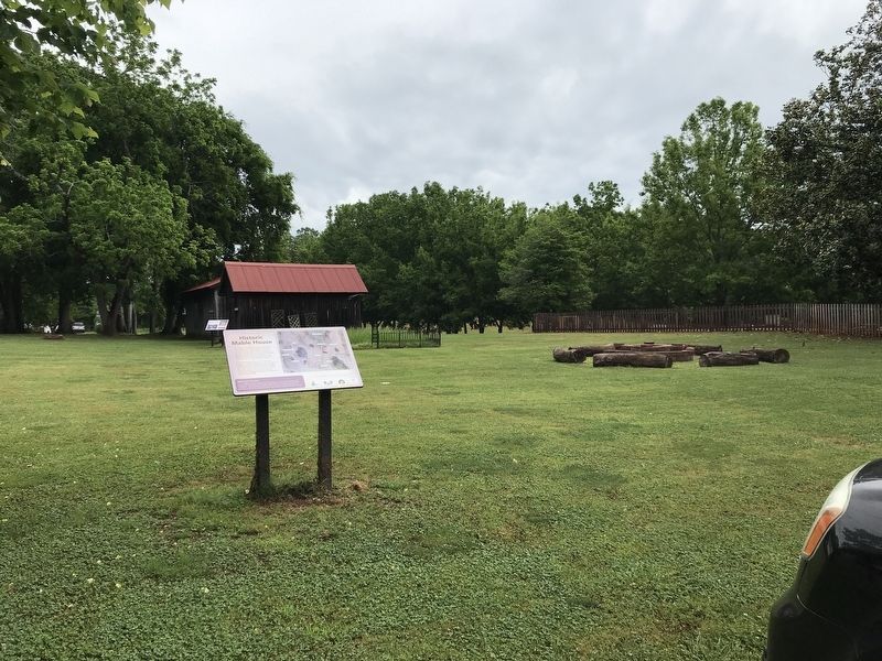
Historic Mable House
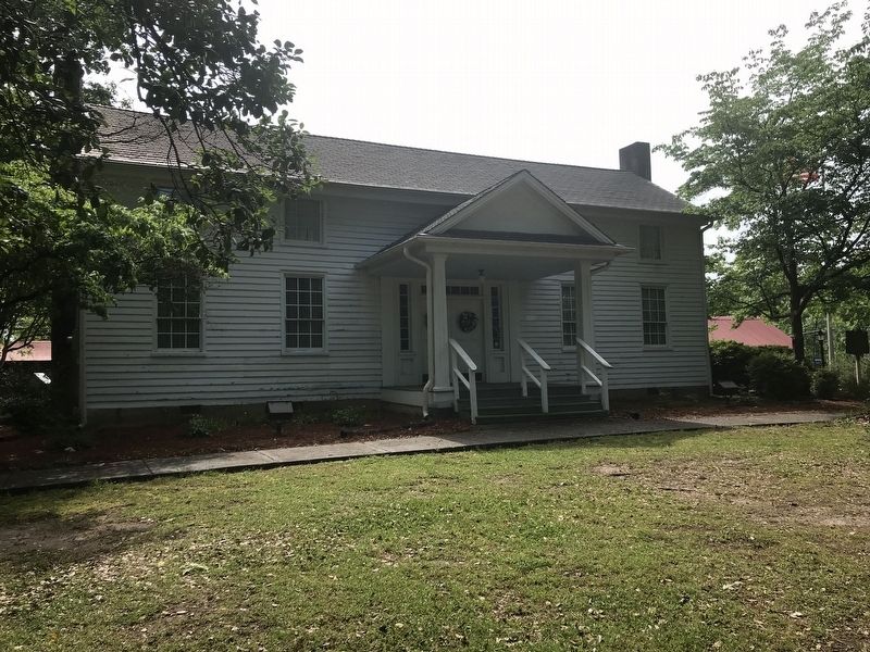
The Mable House is listed on the National Register of Historic Places and is an example of a plantation plain style home, typical of large farmhouses built in the first half of the 1800s in the South. During the Civil War, Union troops used the house as a field hospital as they moved from Kennesaw Mountain into Atlanta in the summer of 1864.
Did you know …
In the 1700s and early 1800s, this land was home to the Creek and Cherokee people who farmed, hunted and generally lived in peace with their few white neighbors. The discovery of gold in North Georgia in 1829, along with the growing numbers of settlers, resulted in the illegal Indian Removal Act of 1838.
Erected by South Cobb Arts Alliance • Friends of The Mable House • Cobb County P.A.R.K.S. • Cobb Community Foundation.
Topics. This historical marker is listed in these topic lists: Architecture • Native Americans • War, US Civil. A significant historical year for this entry is 1864.
Location. 33° 49.607′ N, 84° 34.493′ W. Marker is in Mableton, Georgia, in Cobb County. Marker can be reached from Floyd Road Southwest, 0.1 miles north of Maran Lane Southwest, on the right when traveling north. Marker is by the parking area behind and south of the house. Touch for map. Marker is at or near this postal address: 5239 Floyd Rd SW, Mableton GA 30126, United States of America. Touch for directions.
Other nearby markers. At least 8 other markers are within walking distance of this marker. Corn Crib (a few steps from this marker); Smokehouse (a few steps from this marker); The Mable House (within shouting distance of this marker); Mable Plantation African American Cemetery (within shouting distance of this marker); Kitchen House (within shouting distance of this marker); Cemetery (within shouting distance of this marker); Historic House (within shouting distance of this marker); Blacksmith Shop (within shouting distance of this marker). Touch for a list and map of all markers in Mableton.
Also see . . . Mableton’s namesake still has ties to community. Robert Mable, a Scottish immigrant by way of Savannah, Ga., was one of the area's first prosperous settlers. (Katie Tiller, The Atlanta Journal-Constitution, last updated March 26, 2017) (Submitted on May 10, 2022, by Duane and Tracy Marsteller of Murfreesboro, Tennessee.)
Credits. This page was last revised on May 10, 2022. It was originally submitted on May 10, 2022, by Duane and Tracy Marsteller of Murfreesboro, Tennessee. This page has been viewed 233 times since then and 28 times this year. Photos: 1, 2, 3. submitted on May 10, 2022, by Duane and Tracy Marsteller of Murfreesboro, Tennessee.


