Mableton in Cobb County, Georgia — The American South (South Atlantic)
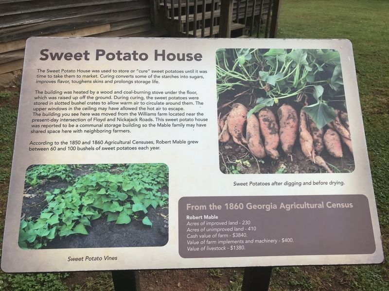
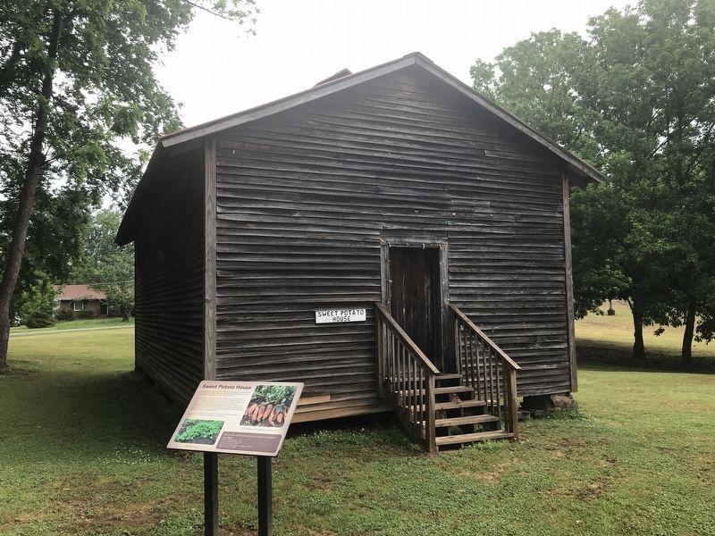
Sweet Potato House
— Mable House —
The building was heated by a wood and coal-burning stove under the floor, which was raised up off the ground. During curing, the sweet potatoes were stored in slotted bushel crates to allow warm air to circulate around them. The upper windows in the ceiling may have allowed the hot air to escape.
The building you see here was moved from the Williams farm located near the present-day intersection of Floyd and Nickajack Roads. This sweet potato house was reported to be a communal storage building so the Mable family may have shared space here with neighboring farmers.
According to the 1850 and 1860 Agricultural Censuses, Robert Mable grew between 60 and 100 bushels of sweet potatoes each year.
From the 1860 Georgia Agricultural Census
Robert Mable
Acres of improved land - 230
Acres of unimproved land - 410
Cash value of farm - $3840.
Value of farm implements and machinery - $400.
Value of livestock - $1380.
[Captions]
• (Left) Sweet Potato Vines
• (Right) Sweet Potatoes after digging and before drying.
Topics. This historical marker is listed in these topic lists: Agriculture • Architecture. A significant historical year for this entry is 1860.
Location. 33° 49.637′ N, 84° 34.48′ W. Marker is in Mableton, Georgia, in Cobb County. Marker can be reached from Floyd Road Southwest, 0.1 miles north of Maran Lane Southwest, on the right when traveling north. Touch for map. Marker is at or near this postal address: 5239 Floyd Rd SW, Mableton GA 30126, United States of America. Touch for directions.
Other nearby markers. At least 8 other markers are within walking distance of this marker. Blacksmith Shop (a few steps from this marker); Cemetery (within shouting distance of this marker); Mable Plantation African American Cemetery (within shouting distance of this marker); Kitchen House (within shouting distance of this marker); Corn Crib (within shouting distance of this marker); Well (within shouting distance of this marker); Historic Mable House (within shouting distance of this marker); Historic House (within shouting distance of this marker). Touch for a list and map of all markers in Mableton.
Credits. This page was last revised on May 10, 2022. It was originally submitted on May 10, 2022, by Duane and Tracy Marsteller of Murfreesboro, Tennessee. This page has been viewed 276 times since then and 74 times this year. Photos: 1, 2. submitted on May 10, 2022, by Duane and Tracy Marsteller of Murfreesboro, Tennessee.

