Cornwall in Stormont Dundas and Glengarry United Counties, Ontario — Central Canada (North America)
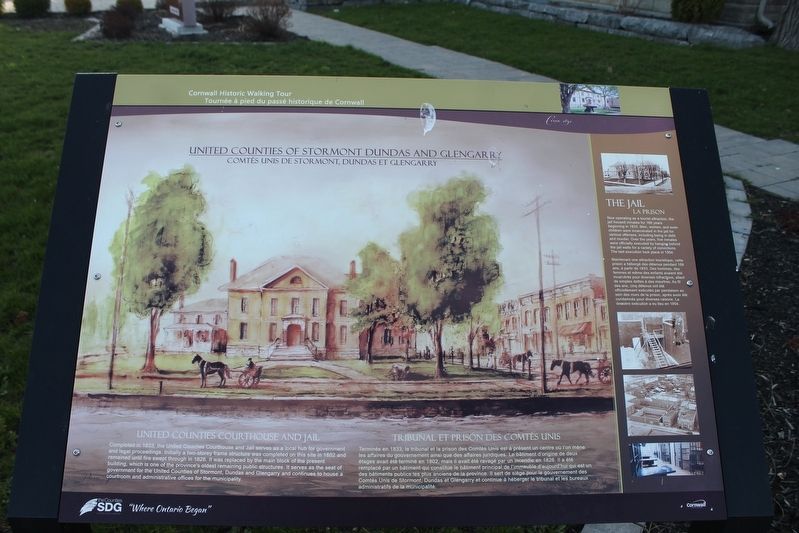
United Counties of Stormont Dundas and Glengarry
United Counties Courthouse and Jail
Photographed by Robert Rusaw, April 30, 2022
1. United Counties of Stormont Dundas and Glengarry Marker
Topics. This historical marker is listed in these topic lists: Law Enforcement • Settlements & Settlers. A significant historical year for this entry is 1833.
Location. 45° 0.924′ N, 74° 43.638′ W. Marker is in Cornwall, Ontario, in Stormont Dundas and Glengarry United Counties. It is on Water Street West, on the right when traveling west. Touch for map. Marker is in this post office area: Cornwall ON K6H 6M2, Canada. Touch for directions.

Regionally, this marker is in Eastern Ontario. It is also in Central Canada. Globally, it is in North America, the Western Hemisphere,
this page online
Other nearby markers. At least 8 other markers are within walking distance of this marker: District Court-House and Gaol 1833/ Palais de Justice et Prison de District- 1833 (a few steps from this marker); The Founding of Cornwall (about 90 meters away, measured in a direct line); The Cornwall Canal / Le canal de Cornwall (about 90 meters away); Cornwall Canal (about 90 meters away); Cornwall's Historic Waterfront (about 150 meters away); Cornwall & S.D.G. 1784-2009 (about 180 meters away); John Baker (about 240 meters away); The Rossmore House / La Maison Rossmore (about 240 meters away). Touch for a list and map of all markers in Cornwall.
Photographed by Robert Rusaw, April 30, 2022
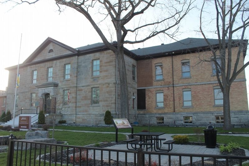
2. United Counties of Stormont Dundas and Glengarry Marker
Photographed by Robert Rusaw, April 30, 2022
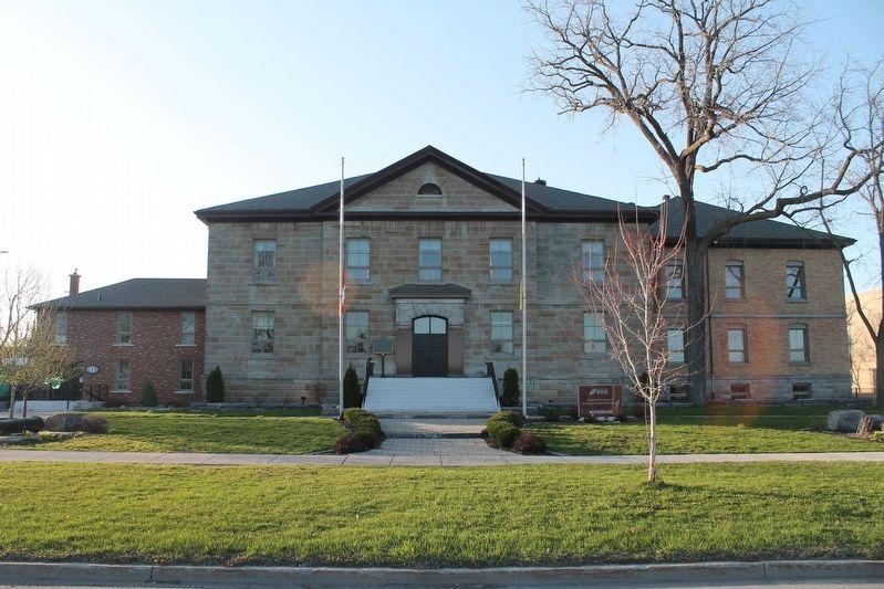
3. United Counties of Stormont Dundas and Glengarry Marker
Credits. This page was last revised on May 20, 2022. It was originally submitted on May 11, 2022, by Robert Rusaw of Massena, New York. This page has been viewed 366 times since then and 29 times this year. Photos: 1, 2, 3. submitted on May 11, 2022, by Robert Rusaw of Massena, New York. • Bill Pfingsten was the editor who published this page.
