Hebron in Washington County, Georgia — The American South (South Atlantic)
Hebron
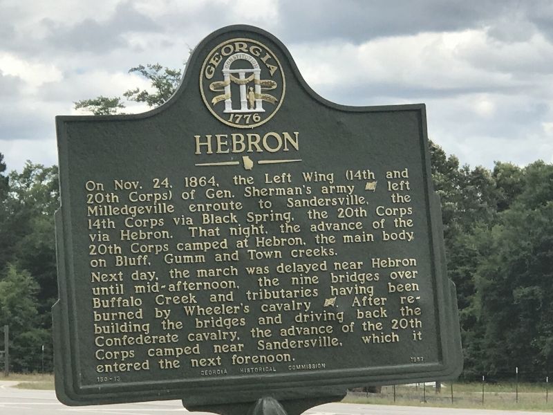
Next day, the march was delayed near Hebron until mid-afternoon, the nine bridges over Buffalo Creek and tributaries having been burned by Wheeler`s cavalry [CSA]. After rebuilding the bridges and driving back the Confederate cavalry, the advance of the 20th Corps camped near Sandersville, which it entered the next forenoon.
Erected 1957 by Georgia Historical Commission. (Marker Number 150-13.)
Topics. This historical marker is listed in this topic list: War, US Civil. A significant historical date for this entry is November 24, 1864.
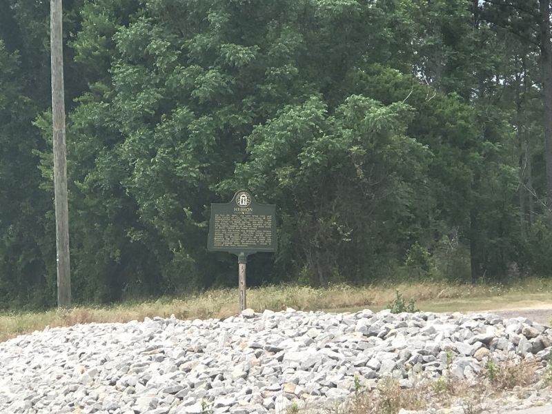
Location. 32° 58.051′ N, 83° 0.125′ W. Marker is in Hebron, Georgia, in Washington County. Marker is on West Church Street (Georgia Route 24) 0.3 miles east of Indian Trail Road, on the left when traveling east. Touch for map. Marker is at or near this postal address: 13166 GA-24, Sandersville GA 31082, United States of America. Touch for directions.
Other nearby markers. At least 8 other markers are within 11 miles of this marker, measured as the crow flies. Buffalo Creek (approx. 2.6 miles away); Deepstep United Methodist Church (approx. 3.8 miles away); Giles Cross Roads (approx. 4.4 miles away); The Defense of the Oconee Bridge (approx. 8.3 miles away); Major John Hatcher (approx. 9.4 miles away); Jared Irwin (approx. 10.4 miles away); Robert Toombs (approx. 10.8 miles away); Old City Cemetery (approx. 10.9 miles away).
Credits. This page was last revised on May 13, 2022. It was originally submitted on May 13, 2022, by Duane and Tracy Marsteller of Murfreesboro, Tennessee. This page has been viewed 128 times since then and 9 times this year. Photos: 1, 2. submitted on May 13, 2022, by Duane and Tracy Marsteller of Murfreesboro, Tennessee.

