Derwood in Montgomery County, Maryland — The American Northeast (Mid-Atlantic)
Newmantown
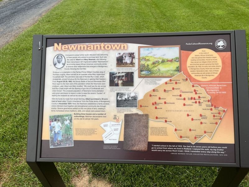
Compared to areas further south, Maryland was welcoming to freed people who wished to purchase land. Such was the case for Albert and Mary Newman, who following their manumission left Virginia and settled "Newmantown" as a kinship-based African American community similar to several other settlements that emerged in Montgomery County following the Civil War.
Enslaved on a plantation in the Fairfax-Prince William Counties area of Northern Virginia, Albert served as an overseer while Mary supervised household staff. The plantation was east of the Bull Run Creek, which, strategically proved fortuitous for the Newmans in gaining their freedom. From August 28-30, 1862, the bloody Battle of Second Manassas (Bull Run) raged to the near west of the plantation where the Newmans were enslaved. Later, Albert and Mary recalled: "We could see the sky across Bull Run Creek bright with the flashing of gun fire of Confederate and Union forces.". The enslaved population of Newman's home plantation were given permission to leave in order to ease the owner's "burden" of feeding the enslaved as well as his his own family.
With the funds he made from tenant farming, Albert purchased a 36-acre tract of land called "Cook's Inheritance" from the Poole family of Montgomery County in November 1879. Here, the Newmans established a family enclave, where members lived together and strengthened community ties through kinship. Several generations settled on this one piece of land, creating a family homestead where traditions, skills, and values were passed down.
Building three houses and a number of outbuildings, Newman descendants lived on this site for almost 100 years.
"I started school in the fall of 1910. You had to be seven years old before you could go to school from where we lived in Redland. I enjoyed the walk; my big brother would carry me across Rock Creek. I think I remember every step along the way."
— Maude Newman Taylor, Collected Recollections, 1973-1978
[Sidebar:]
Even in the midst of slavery, African Americans who had gained their freedom began building communities. House by house, they carved out villages where schools and churches served a growing free black population. By 1900, for every two white citizens in Montgomery, there was one black resident. Generations later, many of these communities are still centers of African American life in Montgomery County.
[Captions:]
Newmantown tour led by Maude Newman Taylor. Because the buildings at Newmantown are gone, archaeology and oral history provides us with clues
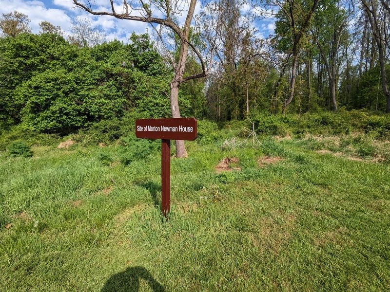
Cornerstone of the home built by Morton Newman dated July 11, 1914. The eleven children (aged 24 to 5) of Morton and Agnes Newman are listed by initials and age. "5 dead in God" are also listed at the bottom right of the stone.
Erected by Montgomery Parks.
Topics. This historical marker is listed in these topic lists: African Americans • Agriculture • Settlements & Settlers • War, US Civil. A significant historical date for this entry is July 11, 1914.
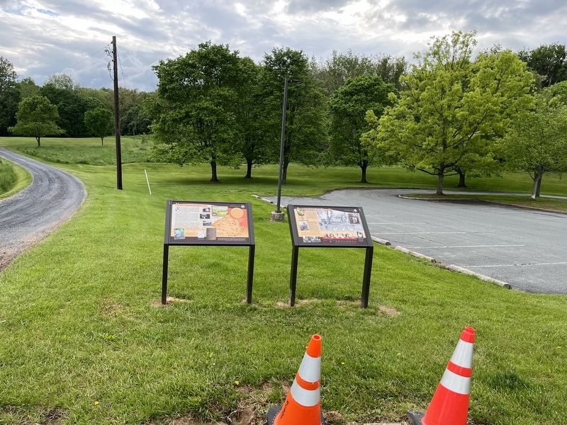
Location. 39° 9.893′ N, 77° 8.059′ W. Marker is in Derwood, Maryland, in Montgomery County. Marker is on Rock Creek Park Road, 0.6 miles north of Muncaster Road, on the left when traveling north. Touch for map. Marker is at or near this postal address: 18400 Muncaster Rd, Derwood MD 20855, United States of America. Touch for directions.
Other nearby markers. At least 8 other markers are within walking distance of this marker. Sustaining a Family (here, next to this marker); Carriage Shed (approx. 0.2 miles away); Granary (approx. 0.2 miles away); Mike Roth (approx. 0.2 miles away); Corn Crib (approx. 0.2 miles away); Childhood and Slavery in Maryland (approx. 0.2 miles away); Bank Barn (approx. 0.2 miles away); Farming and Labor in Montgomery County (approx. 0.2 miles away).
Related marker. Click here for another marker that is related to this marker. This marker has replaced the linked marker.
Credits. This page was last revised on October 2, 2023. It was originally submitted on May 14, 2022, by Devry Becker Jones of Washington, District of Columbia. This page has been viewed 381 times since then and 49 times this year. Photos: 1, 2. submitted on May 14, 2022, by Devry Becker Jones of Washington, District of Columbia. 3. submitted on September 28, 2023, by Sean C Bath of Silver Spring, Maryland.


