Redland in Montgomery County, Maryland — The American Northeast (Mid-Atlantic)
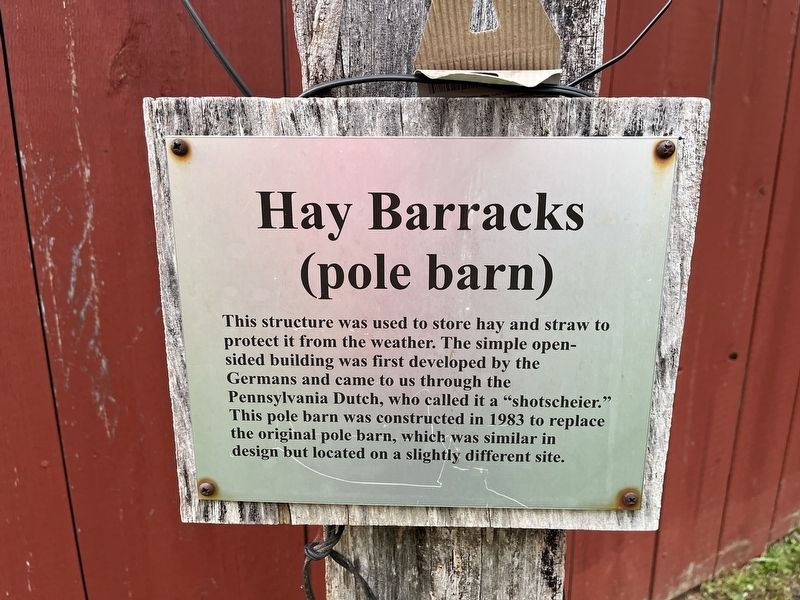
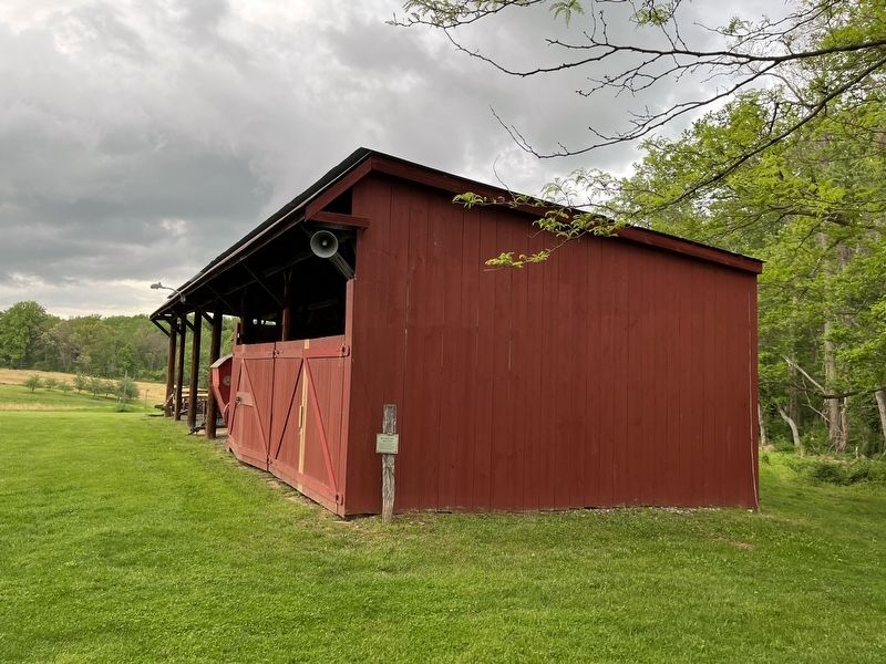
Hay Barracks
(pole barn)
Topics. This historical marker is listed in these topic lists: Agriculture • Architecture • Settlements & Settlers. A significant historical year for this entry is 1983.
Location. 39° 9.87′ N, 77° 7.8′ W. Marker is in Redland, Maryland, in Montgomery County. It can be reached from Rock Creek Park Road half a mile north of Muncaster Road, on the right when traveling north. Touch for map. Marker is at or near this postal address: 18400 Muncaster Mill Rd, Gaithersburg MD 20877, United States of America. Touch for directions.

Regionally, this marker is in the Washington Metropolitan Area. It is also in the American Mid-Atlantic. Globally, it is in North America, the Western Hemisphere, the Western World, and the Anglosphere. Historically, it finds
this page online
Other nearby markers. At least 8 other markers are within walking distance of this marker: Woodshed (a few steps from this marker); Native Farming / Agricultura nativa (within shouting distance of this marker); Broody House (within shouting distance of this marker); Chicken Coop (within shouting distance of this marker); Agricultural Crops and Labor (within shouting distance of this marker); Smoke House (within shouting distance of this marker); Privy (within shouting distance of this marker); Bussard Family (within shouting distance of this marker). Touch for a list and map of all markers in Redland.
Credits. This page was last revised on May 14, 2022. It was originally submitted on May 14, 2022, by Devry Becker Jones of Washington, District of Columbia. This page has been viewed 162 times since then and 23 times this year. Photos: 1, 2. submitted on May 14, 2022, by Devry Becker Jones of Washington, District of Columbia.
