Highland in San Bernardino County, California — The American West (Pacific Coastal)
Aurantia Park
Highland
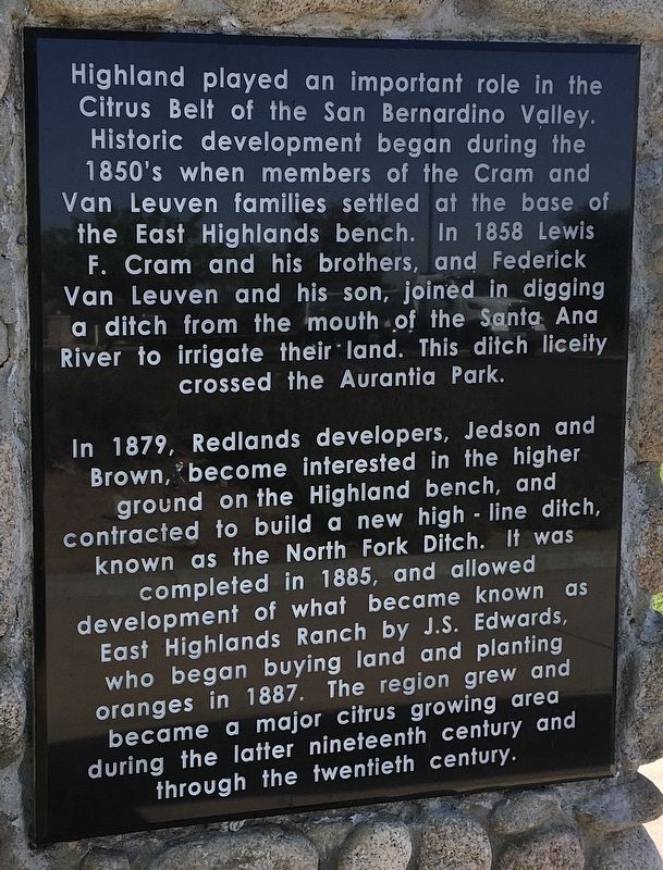
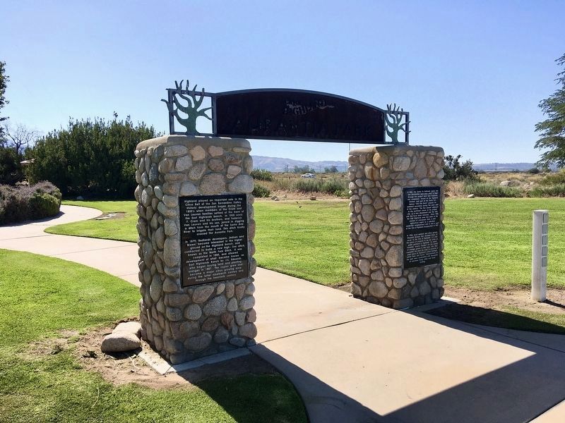
Highland played an important role in the Citrus Belt of the San Bernardino Valley. Historic development began during the 1850's when members of the Cram and Van Leuven families settled at the base of the East Highlands bench. In 1858 Lewis F. Cram and his brothers, and Federick Van Leuven and his son, joined in digging a ditch from the mouth of the Santa Ana River to irrigate their land. This ditch crossed the Aurantia Park.
In 1879, Redlands developers, Jedson and Brown, became interested in the higher ground on the Highland bench, and contracted to build a new high-line ditch, known as the North Fork Ditch. It was completed in 1885, and allowed development of what became known as East Highlands Ranch by J.S. Edwards, who began buying land and planting oranges in 1887. The region grew and became a major citrus growing area during the latter nineteenth century and through the twentieth century.
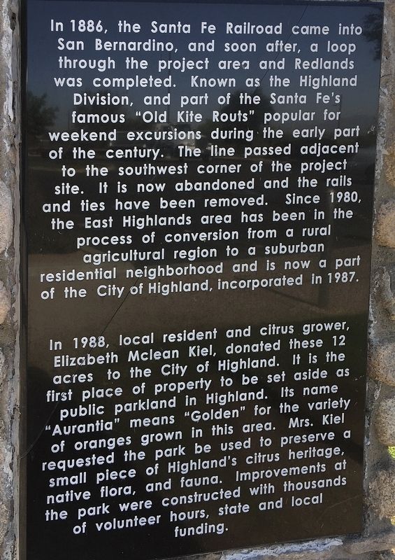
In 1886, the Santa Fe Railroad came into San Bernardino, and soon after, a loop through the project area and Redlands was completed. Known as the Highland Division, and part of the Santa Fe's famous "Old Kite Routes" popular for weekend excursions during the early part of the century. The line passed adjacent to the southwest corner of the project site. It is now abandoned and the rails and ties have been removed. Since 1980, the East Highlands area has been in the process of conversion from a rural agricultural region to a suburban residential neighborhood and is now a part of the City of Highland, incorporated in 1987.
In 1988, local resident and citrus grower, Elizabeth Mclean Kiel, donated these 12 acres to the City of Highland. It is the first place of property to be set aside as public parkland in Highland. Its name "Aurantia" means "Golden" for the variety of oranges grown in this area. Mrs. Kiel requested the park be used to preserve a small piece of Highland's citrus heritage, native flora, and fauna. Improvements at the park were constructed with thousands of volunteer hours, state and local funding.
Topics. This historical marker is listed in these topic lists: Parks & Recreational Areas • Railroads & Streetcars • Settlements & Settlers. A significant historical year for this entry is 1858.
Location. 34° 6.644′ N, 117° 9.335′ W. Marker is in Highland, California, in San Bernardino County. Marker can be reached from Greenspot Road, 0.3 miles east of Weaver Street, on the left when traveling east. Touch for map. Marker is in this post office area: Highland CA 92346, United States of America. Touch for directions.
Other nearby markers. At least 8 other markers are within 5 miles of this marker, measured as the crow flies. Plunge Creek Bridge (about 500 feet away, measured in a direct line); Greenspot Road Bridge (approx. 2.9 miles away); First Lugonia School (approx. 3 miles away); Mill Creek Zanja (approx. 3˝ miles away); a different marker also named Mill Creek Zanja (approx. 3.6 miles away); Patton State Hospital (approx. 4.1 miles away); A.K. Smiley Public Library (approx. 4.2 miles away); The Greenspot Market (approx. 4.2 miles away). Touch for a list and map of all markers in Highland.
Also see . . . Everything About Aurantia Park, Highland California. Features and amenities of Aurantia Park. (Submitted on September 18, 2023, by Bryan Cohen of Riverside, California.)
Credits. This page was last revised on April 20, 2024. It was originally submitted on May 16, 2022, by Craig Baker of Sylmar, California. This page has been viewed 233 times since then and 60 times this year. Photos: 1, 2, 3. submitted on May 16, 2022, by Craig Baker of Sylmar, California.


