West Liberty in Logan County, Ohio — The American Midwest (Great Lakes)
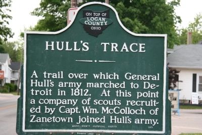
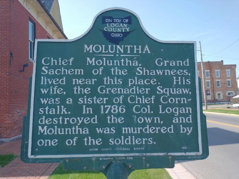
Hull's Trace / Moluntha
Logan County, On Top of Ohio
Hull's Trace. A trail over which General Hull's army marched to Detroit in 1812. At this point a company of scouts recruited by Capt. Wm. McColloch of Zanetown joined Hull's army.
Moluntha. Chief Moluntha, Grand Sachem of the Shawnees, lived near this place. His wife, the Grenadier Squaw, was a sister of Chief Cornstalk. In 1786 Col. Logan destroyed the town, and Moluntha was murdered by one of the soldiers.
Erected 1951 by Logan County Historical Society.
Topics. This historical marker is listed in these topic lists: Roads & Vehicles • War of 1812. A significant historical year for this entry is 1812.
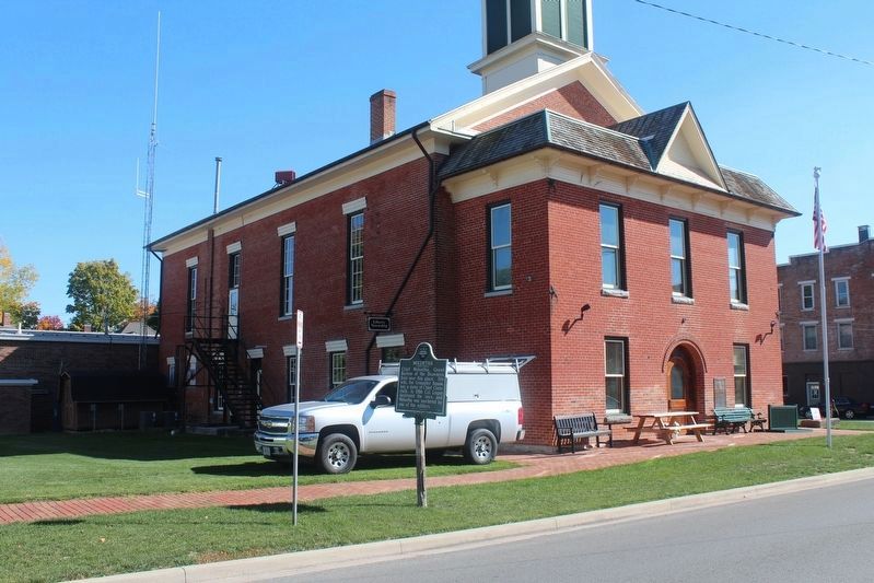
Location. 40° 15.221′ N, 83° 45.352′ W. Marker is in West Liberty, Ohio, in Logan County. Marker is at the intersection of North Detroit Street (U.S. 68) and Columbus Street, on the right when traveling north on North Detroit Street. When traveling through West Liberty, Ohio on US 68 (Detroit Street)one will find that this historical marker is located on the Detroit Street side of the West Liberty town hall building. Touch for map. Marker is in this post office area: West Liberty OH 43357, United States of America. Touch for directions.
Other nearby markers. At least 8 other markers are within walking distance of this marker. Sherman M. Ricketts (a few steps from this marker); West Liberty World War I Memorial (about 800 feet away, measured in a direct line); Shawnee Nation in Logan County / Shawnee Villages in Logan County (about 800 feet away); West Liberty / Glover Hall (approx. 0.2 miles away); Michael Lane Partin (approx. 0.3 miles away); West Liberty Veterans Memorial (approx. 0.4 miles away); West Liberty Lion's Club Park (approx. half a mile away); Foust Addition (approx. half a mile away). Touch for a list and map of all markers in West Liberty.
More about this marker. This historical marker is part of a series of markers that tracks the War of 1812 march of General Hull's army from Urbana, Ohio to Detroit, Michigan.
Related markers. Click here for a list of markers that are related to this marker. To better understand the relationship, study each marker in the order shown.
Also see . . . Hull's Road. This is a link to information provided by Ohio History Central, an online encyclopedia of Ohio History. (Submitted on August 13, 2010, by Dale K. Benington of Toledo, Ohio.)
Additional commentary.
1. Local Daughters of the American Revolution (DAR) Markers
There are two DAR markers between Moluntha Town and the Manary Blockhouse. They are bronze plaques on boulders. The first is at the old Bellefontaine Country Club, now called Liberty Hills Golf Course. The second is at Logan Acres (the Logan County Home), it has been moved when the new facility was built. Also, at the Logan Acres site is the grave of Col. McPherson. Another marker, "Bokengehalis town" was nearby, but has been damaged. A third boulder was at the old Logan County Children's Home, but it has been lost.
Ron Irick
(our Boys Scouts just hiked from Urbana to Ft. McArthur on the Trace) Note To Editor only visible by Contributor and editor
— Submitted June 20, 2012, by Rev. Ronald Irick of West Liberty, Ohio.
Credits. This page was last revised on May 18, 2022. It was originally submitted on June 9, 2009, by Dale K. Benington of Toledo, Ohio. This page has been viewed 2,840 times since then and 50 times this year. Last updated on May 16, 2022, by Craig Doda of Napoleon, Ohio. Photos: 1. submitted on June 9, 2009, by Dale K. Benington of Toledo, Ohio. 2. submitted on May 16, 2022, by Craig Doda of Napoleon, Ohio. 3. submitted on October 10, 2020, by Robert Baughman of Bellefontaine, Ohio. • Devry Becker Jones was the editor who published this page.


