Near Mountain Rest in Oconee County, South Carolina — The American South (South Atlantic)
Mountain Rest School
⎯⎯⎯
Hillbilly Day
Photographed by Tom Bosse, May 13, 2022
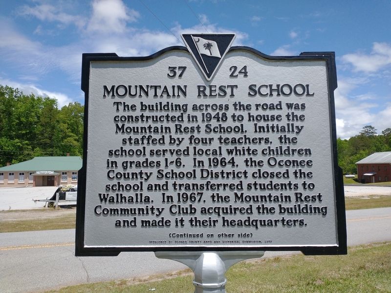
1. Mountain Rest School / Hillbilly Day Marker (Front)
(front) Mountain Rest School
The building across the road was constructed in 1948 to house the Mountain Rest School. Initially staffed by four teachers, the school served local white children in grades 1-6. In 1964, the Oconee County School District closed the school and transferred students to Walhalla. In 1967, the Mountain Rest Community Club acquired the building and made it their headquarters.
Erected 2019 by Oconee County Arts and Historical Commission. (Marker Number 37-24.)
Topics. This historical marker is listed in these topic lists: Arts, Letters, Music • Education • Parks & Recreational Areas. A significant historical date for this entry is July 4, 1961.
Location. 34° 50.554′ N,
this page online

Regionally, this marker is in South Carolina’s and pstate, in the Foothills, in the Golden Corner. It is also in the American South, specifically in the Deep South, in Appalachia, and specifically in Southern Appalachia. Globally, it is in North America, the Western Hemisphere, the Western World, and the Anglosphere. Historically, it finds itself in what was once the original Cherokee Nation, the territory of the Mississippian Culture, one of the original Thirteen Colonies, one of the Confederate States of America, and the Antebellum South.
Other nearby markers. At least 8 other markers are within 3 miles of this marker, measured as the crow flies: Chauga Town (approx. 1.4 miles away); The Oconee Waterwheel (approx. 2.3 miles away); The Civilian Conservation Corps (approx. 2.3 miles
Photographed by Tom Bosse, May 13, 2022
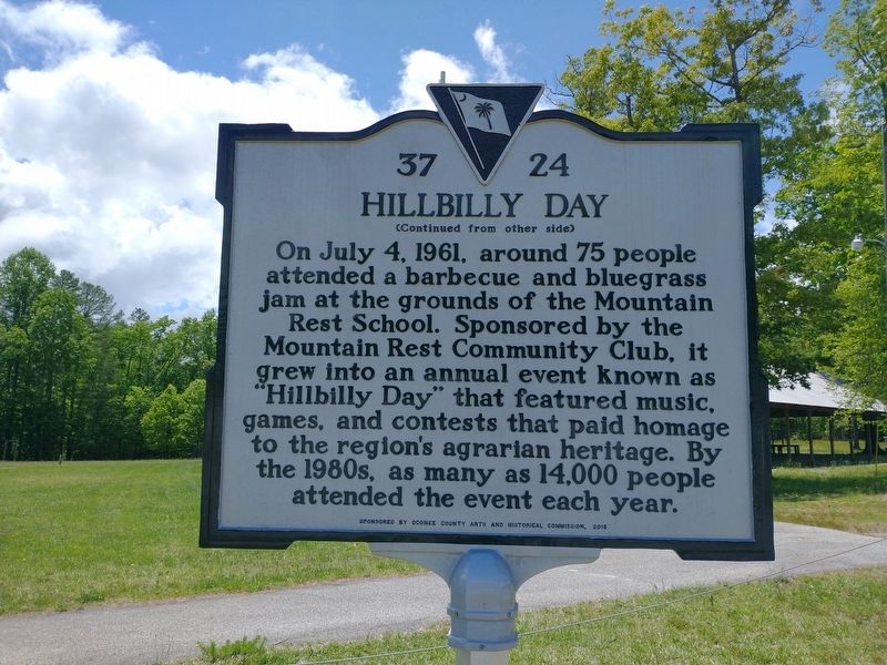
2. Mountain Rest School / Hillbilly Day Marker (Back)

Photographed by Tom Bosse, May 13, 2022
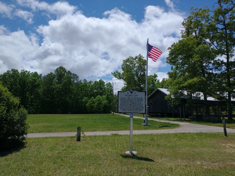
3. Mountain Rest School / Hillbilly Day Marker
Photographed by Tom Bosse, May 13, 2022
4. Mountain Rest School / Hillbilly Day Marker
Photographed by Tom Bosse, May 13, 2022
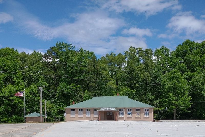
5. Mountain Rest School
Credits. This page was last revised on May 19, 2022. It was originally submitted on May 17, 2022, by Tom Bosse of Jefferson City, Tennessee. This page has been viewed 613 times since then and 36 times this year. Photos: 1, 2, 3, 4, 5. submitted on May 17, 2022, by Tom Bosse of Jefferson City, Tennessee. • Bernard Fisher was the editor who published this page.
