Austinville in Wythe County, Virginia — The American South (Mid-Atlantic)
New River
— New River Trail State Park —
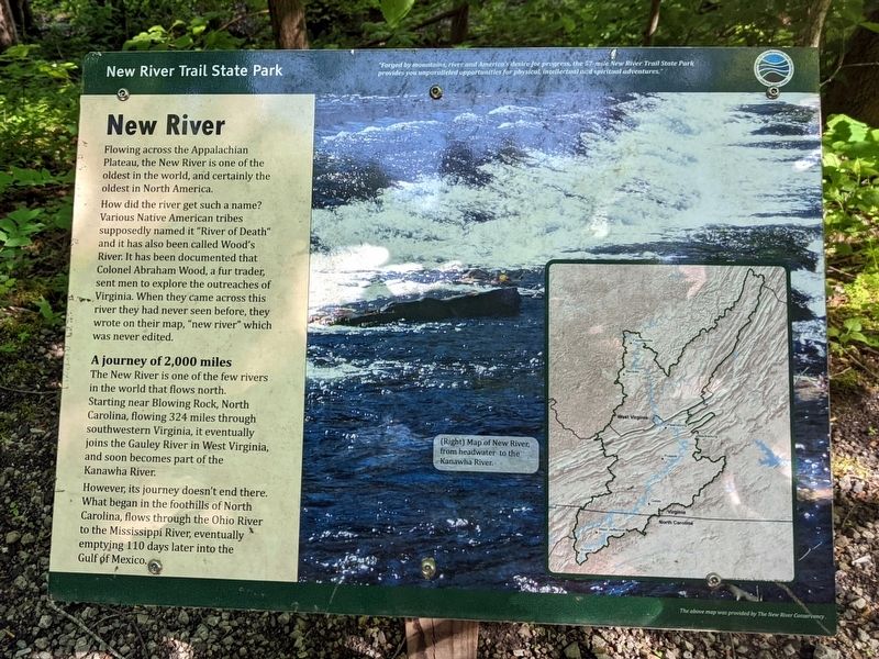
Flowing across the Appalachian Plateau, the New River is one of the oldest in the world, and certainly the oldest in North America.
How did the river get such a name? Various Native American tribes supposedly named it "River of Death" and it has also been called Wood's River. It has been documented that Colonel Abraham Wood, a fur trader, sent men to explore the outreaches of Virginia. When they came across this river they had never seen before, they wrote on their map, "new river" which was never edited.
A journey of 2,000 miles
The New River is one of the few rivers in the world that flows north. Starting near Blowing Rock, North Carolina, flowing 324 miles through southwestern Virginia, it eventually joins the Gauley River in West Virginia, and soon becomes part the Kanawha River.
However, its journey doesn't end there. What began in the foothills of North Carolina, flows through the Ohio River to the Mississippi River, eventually emptying 110 days later into the Gulf öf Mexico.
(Right) Map of New River, from headwater to the Kanawha River.
The above map was provided by the The New River Conservancy.
Erected by New River Trail State Park.
Topics. This historical marker is listed in these topic lists: Exploration • Native Americans • Waterways & Vessels.
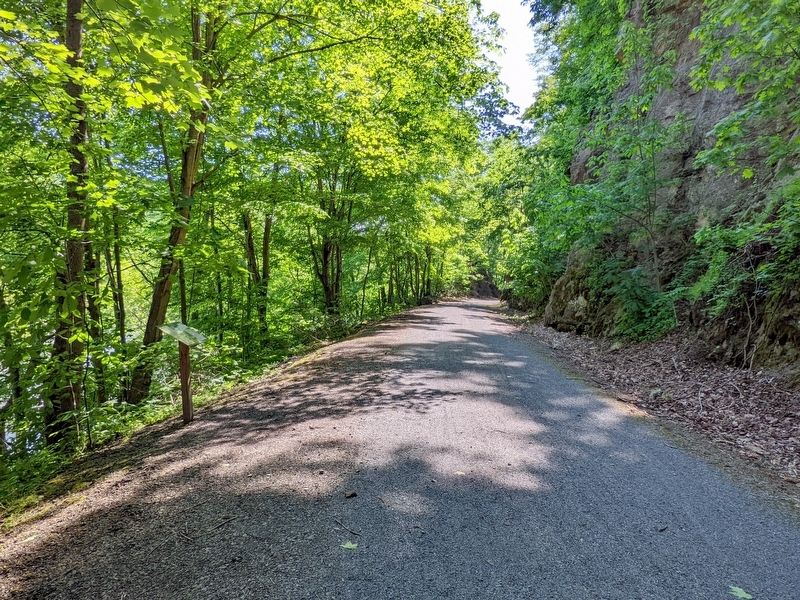
Location. 36° 52.441′ N, 80° 52.847′ W. Marker is in Austinville, Virginia, in Wythe County. Marker can be reached from Store Hill Road (Virginia Route 636) south of Austinville Road (Virginia Route 619), on the left when traveling south. Located along the New River Trail between the Austinville Trailhead to the south and the Foster Falls Trailhead to the north. Touch for map. Marker is in this post office area: Austinville VA 24312, United States of America. Touch for directions.
Other nearby markers. At least 8 other markers are within 2 miles of this marker, measured as the crow flies. A different marker also named The New River (approx. ¼ mile away); Jackson’s Ferry and Shot Tower (approx. 0.6 miles away); Shot Tower Historical State Park (approx. 0.6 miles away); Shot Tower at Jackson's Ferry (approx. 0.6 miles away); History of the Shot Tower (approx. 0.6 miles away); Jackson's Ferry (approx. 0.7 miles away); River Crossing Old & New (approx. 0.7 miles away); Fincastle County (approx. 1½ miles away). Touch for a list and map of all markers in Austinville.
Also see . . . New River Trail State Park. Virginia Department of Conservation & Recreation (Submitted on May 19, 2022.)
Credits. This page was last revised on May 19, 2022. It was originally submitted on May 19, 2022, by Bernard Fisher of Richmond, Virginia. This page has been viewed 237 times since then and 77 times this year. Photos: 1, 2. submitted on May 19, 2022, by Bernard Fisher of Richmond, Virginia.

