Great Falls in Fairfax County, Virginia — The American South (Mid-Atlantic)
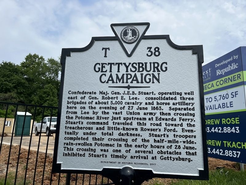
Gettysburg Campaign
Erected 2017 by Department of Historic Resources. (Marker Number T-38.)
Topics and series. This historical marker is listed in these topic lists: War, US Civil • Waterways & Vessels. In addition, it is included in the Virginia Department of Historic Resources (DHR) series list. A significant historical date for this entry is June 27, 1863.
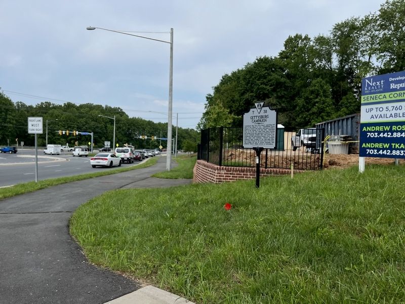
Location. 39° 0.069′ N, 77° 20.664′ W. Marker is in Great Falls, Virginia, in Fairfax County. Marker is at the intersection of Georgetown Pike (Virginia Route 193) and Seneca Road (Virginia Route 602), on the right when traveling south on Georgetown Pike. Touch for map. Marker is at or near this postal address: 1024 Seneca Rd, Great Falls VA 22066, United States of America. Touch for directions.
Other nearby markers. At least 8 other markers are within 3 miles of this marker, measured as the crow flies. Action At Dranesville (about 300 feet away, measured in a direct line); Battle of Dranesville (approx. 0.2 miles away); Sharpsburg / Antietam Campaign (approx. 0.2 miles away); a different marker also named Battle of Dranesville (approx. one mile away); U.S. Army Map Service (approx. 1.6 miles away); Great Falls Nike Missile Site (approx. 1.6 miles away); Loudoun County / Fairfax County (approx. 1.8 miles away); Chestnut Grove Cemetery (approx. 2.1 miles away). Touch for a list and map of all markers in Great Falls.
Related marker. Click here for another marker that is related to this marker. This marker has replaced the linked marker, which stood in nearby Loudoun County.
Credits. This page was last revised on May 21, 2022. It was originally submitted on May 21, 2022, by Devry Becker Jones of Washington, District of Columbia. This page has been viewed 248 times since then and 28 times this year. Photos: 1, 2. submitted on May 21, 2022, by Devry Becker Jones of Washington, District of Columbia.

