
Fountain Inn in Greenville County, South Carolina — The American South (South Atlantic)
Fountain Inn Cemetery
Photographed by Tom Bosse, May 14, 2022
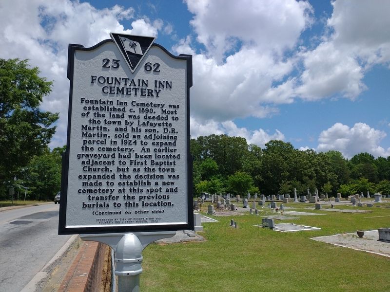
1. Fountain Inn Cemetery Marker (Front)
Fountain Inn Cemetery was established c. 1890. Most of the land was deeded to the town by Lafayette Martin, and his son, D.R. Martin, sold an adjoining parcel in 1924 to expand the cemetery. An earlier graveyard had been located adjacent to First Baptist Church, but as the town expanded the decision was made to establish a new cemetery at this spot and transfer the previous burials to this location.
Erected 2014 by City of Fountain Inn and Fountain Inn History Museum. (Marker Number 23-62.)
Topics. This historical marker is listed in this topic list: Cemeteries & Burial Sites. A significant historical year for this entry is 1890.
Location. 34° 41.51′ N, 82° 11.624′ W.
this page online

Regionally, this marker is in Upstate and in the Greater Greenville-Spartanburg Area. It is also in the American South, specifically in the Deep South, in Appalachia, and specifically in Southern Appalachia. Globally, it is in North America, the Western Hemisphere, the Western World, and the Anglosphere. Historically, it finds itself in what was once the original Cherokee Nation, the territory of the Mississippian Culture, one of the original Thirteen Colonies, one of the Confederate States of America, and the Antebellum South.
Other nearby markers. At least 8 other markers are within walking distance of this marker: Fountain Inn Rosenwald School (approx. 0.3 miles away); Clayton "Peg Leg" Bates (approx. 0.4 miles away); Mrs. Emmie Fulmer (approx. 0.4 miles away); Snow Campaign Chapter Marker (approx. 0.4 miles away); Eve (approx. 0.4 miles away); Fountain Inn Veterans Monument
Photographed by Tom Bosse, May 14, 2022
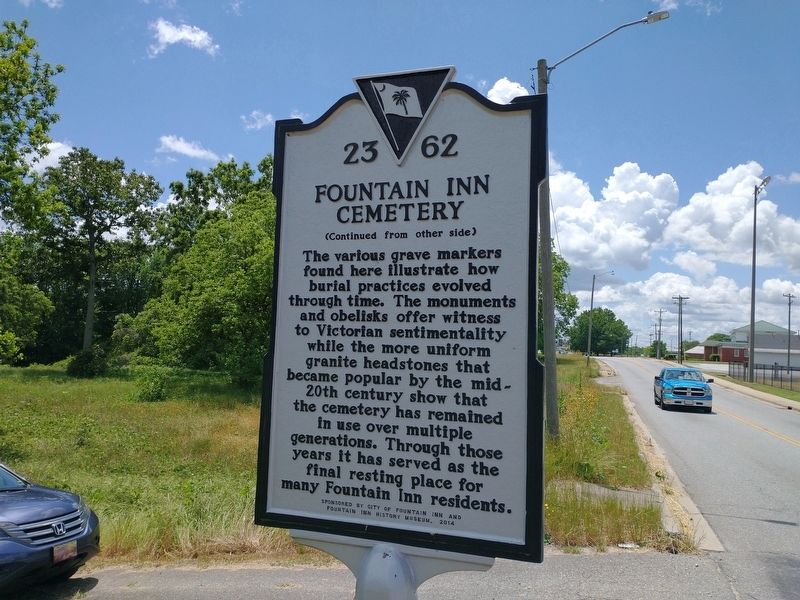
2. Fountain Inn Cemetery Marker (Back)
Photographed by Tom Bosse, May 14, 2022
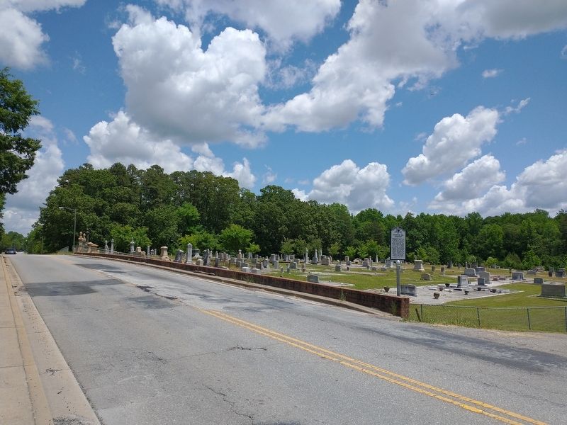
3. Fountain Inn Cemetery Marker
Photographed by Tom Bosse, May 14, 2022
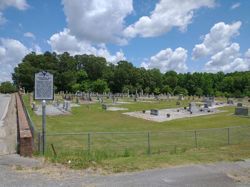
4. Fountain Inn Cemetery Marker
Credits. This page was last revised on May 23, 2022. It was originally submitted on May 22, 2022, by Tom Bosse of Jefferson City, Tennessee. This page has been viewed 698 times since then and 67 times this year. Photos: 1, 2, 3, 4. submitted on May 22, 2022, by Tom Bosse of Jefferson City, Tennessee. • Bernard Fisher was the editor who published this page.
