
Belmont in Charlottesville, Virginia — The American South (Mid-Atlantic)
Charlottesville
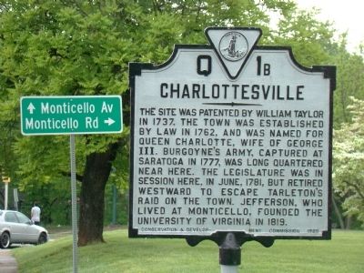
Photographed by J. J. Prats, May 2, 2009
1. Charlottesville Marker
Erected 1929 by Conservation and Development Commission. (Marker Number Q-1b.)
Topics and series. This historical marker is listed in this topic list: Political Subdivisions. In addition, it is included in the Virginia Department of Historic Resources (DHR) series list. A significant historical month for this entry is June 1781.
Location. 38° 1.216′ N, 78° 28.433′ W. Marker is in Charlottesville, Virginia. It is in Belmont. It is on Monticello Avenue (Virginia Route 20) north of Blenheim Avenue, on the right when traveling north. Touch for map. Marker is in this post office area: Charlottesville VA 22902, United States of America. Touch for directions.

Regionally, this marker is in Central Virginia. It is also in
this page online
Other nearby markers. At least 8 other markers are within walking distance of this marker: The Charlottesville Coal Tower (approx. half a mile away); The Farm (approx. 0.6 miles away); James Madison (approx. 0.7 miles away); Thomas Jefferson (approx. 0.7 miles away); James Monroe (approx. 0.7 miles away); The Three Notch’d Road (approx. 0.7 miles away); James T. S. Taylor (approx. 0.7 miles away); Carousel (approx. 0.7 miles away). Touch for a list and map of all markers in Charlottesville.
Also see . . . Charlottesville, A Brief History. “In 1850 the Louisa Railroad Company, (later the Virginia Central and later yet the Chesapeake and Ohio) was the first to arrive in Charlottesville. In 1858 the railroad connected with the Shenandoah Valley through new tunnels
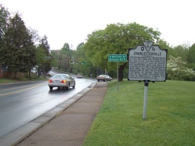
Photographed by J. J. Prats, May 2, 2009
2. Charlottesville Marker
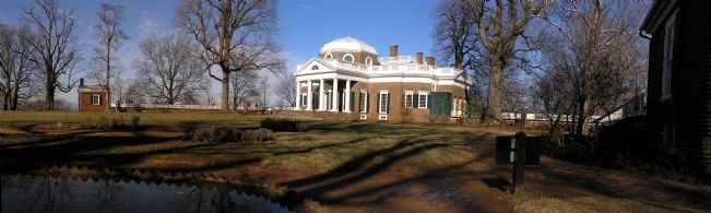
Photographed by Paul Crumlish, February 2, 2008
3. Panorama of Monticello (1772)
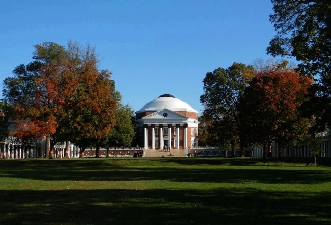
Photographed by Paul Crumlish, October 15, 2011
4. The Rotunda (1826)
The centerpiece of the University of Virginia, it was designed by Thomas Jefferson, destroyed by a fire it was renovated by Stanford White in 1898. It was last renovated to Jefferson's design in 1976.
Credits. This page was last revised on February 1, 2023. It was originally submitted on June 10, 2009, by J. J. Prats of Powell, Ohio. This page has been viewed 1,391 times since then and 23 times this year. Photos: 1, 2. submitted on June 10, 2009, by J. J. Prats of Powell, Ohio. 3. submitted on July 5, 2010, by PaulwC3 of Northern, Virginia. 4. submitted on October 16, 2011, by PaulwC3 of Northern, Virginia.
