Painted Post in Steuben County, New York — The American Northeast (Mid-Atlantic)
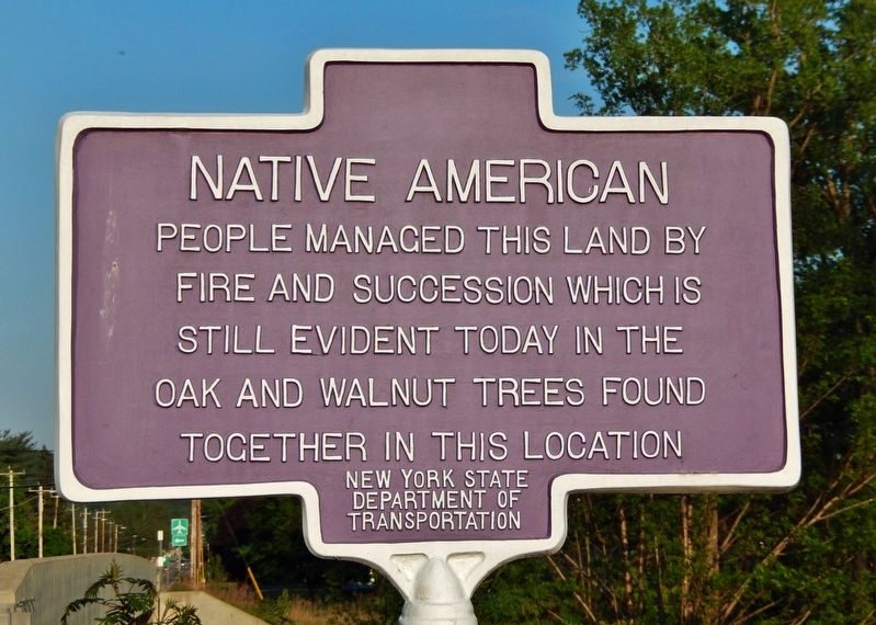
Native American
Erected by New York State Department of Transportation.
Topics. This historical marker is listed in these topic lists: Horticulture & Forestry • Native Americans.
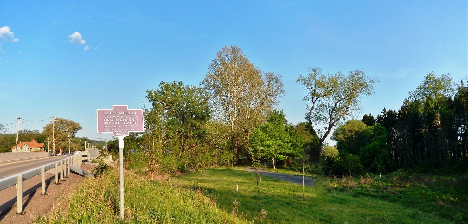
Location. 42° 10.547′ N, 77° 7.308′ W. Marker is in Painted Post, New York, in Steuben County. Marker is on Victory Highway (New York State Route 415) 0.1 miles east of Naylor Lane, on the right when traveling east. Touch for map. Marker is in this post office area: Painted Post NY 14870, United States of America. Touch for directions.
Other nearby markers. At least 8 other markers are within 2 miles of this marker, measured as the crow flies. Clinton-Sullivan and the Iroquois (approx. half a mile away); The First Baptist Church of Painted Post (approx. 1.9 miles away); Treaty of Painted Post (approx. 1.9 miles away); Painted Post Memorial (approx. 1.9 miles away); Village of Painted Post Comeback '72 Urban Renewal Project (approx. 1.9 miles away); Civil War Memorial (approx. 1.9 miles away); World War Memorial Park (approx. 1.9 miles away); Routes of the Armies of General John Sullivan and General James Clinton (approx. 1.9 miles away). Touch for a list and map of all markers in Painted Post.
Also see . . . Native American use of fire in ecosystems.
Prior to European colonization of the Americas, indigenous peoples used controlled burns to modify the landscape. What was initially perceived by colonists as "untouched, pristine" wilderness in North America was actually the cumulative result of those occasional managed fires creating an intentional mosaic of grasslands and forests across North America, sustained and managed by the original Peoples of the landbase.(Submitted on May 23, 2022, by Cosmos Mariner of Cape Canaveral, Florida.)
Credits. This page was last revised on May 23, 2022. It was originally submitted on May 23, 2022, by Cosmos Mariner of Cape Canaveral, Florida. This page has been viewed 242 times since then and 39 times this year. Photos: 1, 2. submitted on May 23, 2022, by Cosmos Mariner of Cape Canaveral, Florida.

