Sault Ste. Marie in Algoma District, Ontario — Central Canada (North America)
What a Rush!
⎯⎯⎯
Urgence!
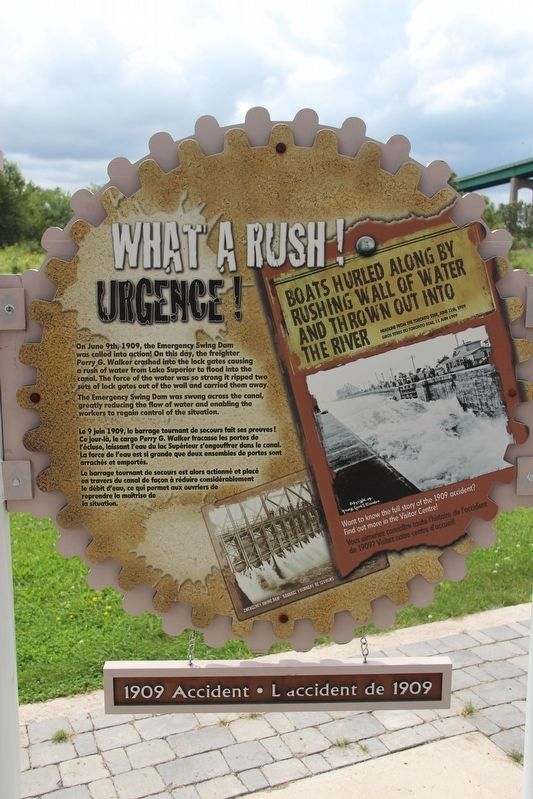
The Emergency Swing Dam was swung across the canal, greatly reducing the flow of water and enabling the workers to regain control of the situation.
[Francais] Le 9 juin 1909, le barrage tournant de secours fait ses preuves! Ce jour-là, le cargo Perry G. Walker fracasse les portes de l'écluse, laissant l'eau du lac Supérieur s'engouffrer dans le canal. La force de l'eau est si grande que deux ensembles de portes sont arrachés et emportés.
Le barrage tournant de secours est alors actionné et placé en travers du canal de façon à réduire considérablement le débit d'eau, ce qui permet aux ouvriers de reprendre la maîtrise de la situation.
Captions/Légendes
• Headline from the Toronto Star, June 11th, 1909 / Gros titres du Toronto Star, 11 Juin 1909.
• Want to know the full story of the 1909 accident? Find out more in the Visitor Centre! / Vous aimeriez connaître toute l'histoire de l'accident de 1909? Visitez notre centre d'accueil!
• Emergency Swing Dam – Barrage tournant de secours
Topics. This historical marker is listed in these topic lists: Disasters • Waterways & Vessels. A significant historical date for this entry is June 9, 1909.
Location. 46° 30.797′ N, 84° 21.398′ W. Marker is in Sault Ste. Marie, Ontario, in Algoma District. It is on Canal Drive 1.1 kilometers west of Huron Street, on the left when traveling west. Marker is in Sault Ste. Marie Canal National Historic Site. Touch for map. Marker is in this post office area: Sault Ste Marie ON P6A 6W4, Canada. Touch for directions.

Regionally,
this page online
Other nearby markers. At least 8 other markers are within walking distance of this marker: The Dam in Action! / Le barrage à l'œuvre! (here, next to this marker); Why Preserve This Big Hunk of Steel? / Pourquoi préserver cette énorme structure d'acier? (here, next to this marker); The Last Emergency Swing Dam in the World! / Le dernier barrage tournant de secours au monde! (a few steps from this marker); Emergency Swing Bridge Dam / Barrage tournant de secours (about 90 meters away, measured in a direct line); The "Chicora" Incident (about 150 meters away); Canadian Veterans Memorial (about 150 meters away); CPR Passenger Ships in the Lock / Paquebots de la CFCP dans l'écluse
Fungus Guy via Wikimedia Commons (CC BY-SA 3.0), March 12, 2010
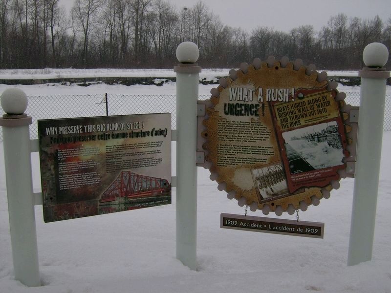
2. What a Rush! / Urgence! Marker
Featured marker is on the right.
Don Harrison (reproduced from original) (CC BY-NC-ND 2.0)
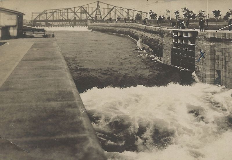
3. 1909 Sault Ste. Canal Accident
The Emergency Swing Dam (background) slowed the surging water enough to allow workers to quickly make repairs and reopen the canal in just 12 days.
Credits. This page was last revised on May 23, 2022. It was originally submitted on May 23, 2022, by Duane and Tracy Marsteller of Murfreesboro, Tennessee. This page has been viewed 192 times since then and 15 times this year. Photos: 1, 2, 3. submitted on May 23, 2022, by Duane and Tracy Marsteller of Murfreesboro, Tennessee.
