Richmond in Ray County, Missouri — The American Midwest (Upper Plains)
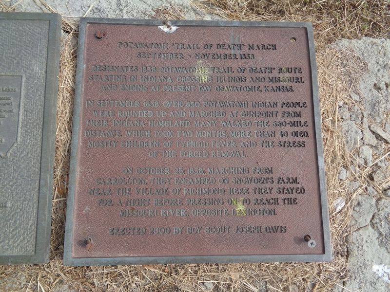
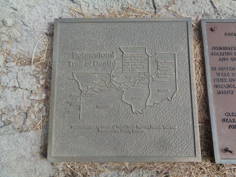
Potawatomi "Trail of Death" March
September - November 1838
In September 1838, over 850 Potawatomi Indian people were rounded up and marched at gunpoint from their Indiana homeland. Many walked the 660-mile distance, which took two months. More than 40 died, mostly children, of typhoid fever and the stress of the forced removal.
On October 25, 1838, marching from Carrollton, they encamped on Snowden's farm, near the village of Richmond. Here they stayed for a night before pressing on to reach the Missouri River, opposite Lexington.
Erected 2000 by Boy Scout Joseph Davis.
Topics and series. This historical marker is listed in this topic list: Native Americans. In addition, it is included in the Potawatomi Trail of Death series list. A significant historical month for this entry is September 1838.
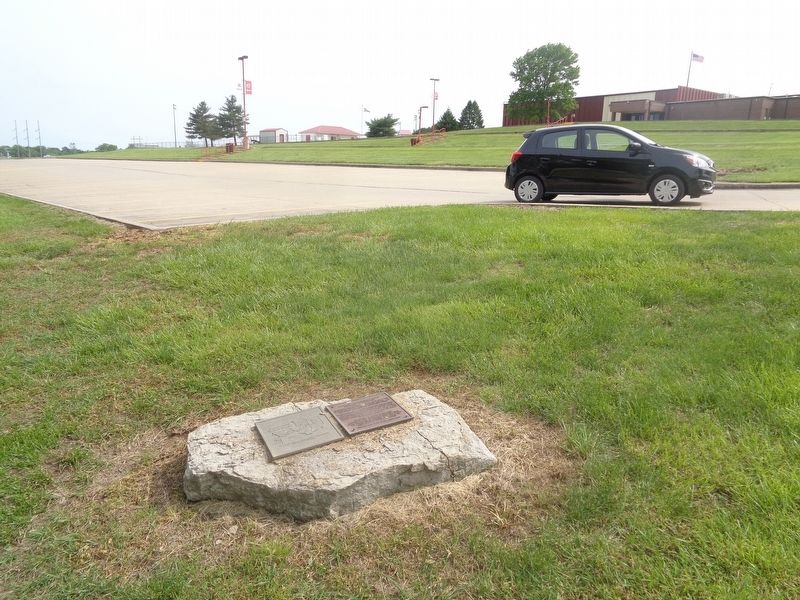
Location. 39° 16.229′ N, 93° 58.041′ W. Marker is in Richmond, Missouri, in Ray County. Marker is on East South Street west of South Spartan Drive (State Highway 13), on the right when traveling east. Marker is on the grounds of Richmond High School. Touch for map. Marker is at or near this postal address: 498 E South St, Richmond MO 64085, United States of America. Touch for directions.
Other nearby markers. At least 8 other markers are within walking distance of this marker. Site of the David Whitmer Home (approx. 0.7 miles away); Vietnam War Memorial (approx. ¾ mile away); The Bushwhacker in Missouri (approx. ¾ mile away); World War Memorial (approx. ¾ mile away); World War II and Korean War Memorial (approx. ¾ mile away); Ray County Bicentennial Memorial (approx. 0.8 miles away); 1856 Courthouse Cornice Planter (approx. 0.8 miles away); Richmond (approx. 0.8 miles away). Touch for a list and map of all markers in Richmond.
Credits. This page was last revised on May 24, 2022. It was originally submitted on May 23, 2022, by Jason Voigt of Glen Carbon, Illinois. This page has been viewed 580 times since then and 25 times this year. Photos: 1, 2, 3. submitted on May 23, 2022, by Jason Voigt of Glen Carbon, Illinois.


