Hardin in Ray County, Missouri — The American Midwest (Upper Plains)
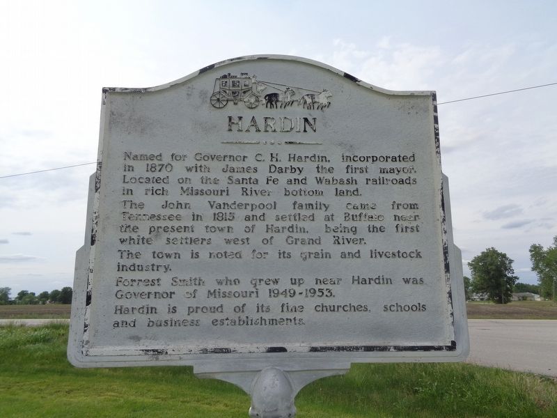
Hardin
The John Vanderpool family came from Tennessee in 1815 and settled at Buffalo near the present town of Hardin, being the first white settlers west of Grand River.
The town is noted for its grain and livestock industry.
Forrest Smith who grew up near Hardin was Governor of Missouri 1949-1953.
Hardin is proud of its fine churches, schools and business establishments.
Topics. This historical marker is listed in these topic lists: Agriculture • Industry & Commerce • Railroads & Streetcars • Settlements & Settlers. A significant historical year for this entry is 1870.
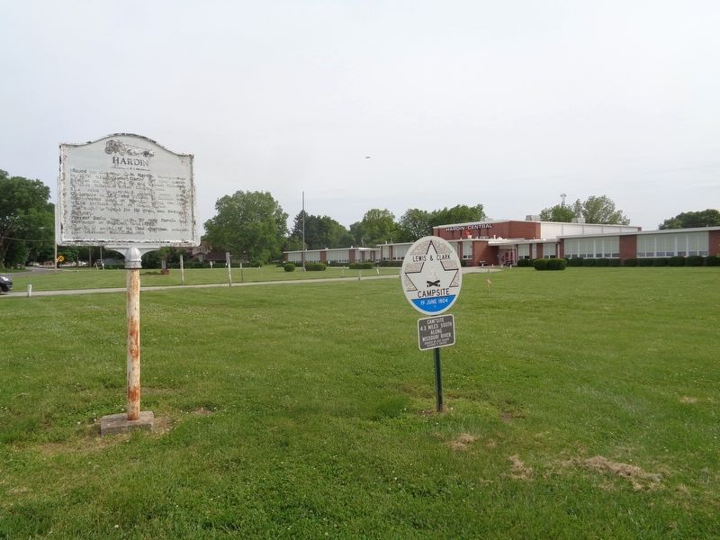
Location. 39° 16.391′ N, 93° 50.19′ W. Marker is in Hardin, Missouri, in Ray County. Marker is at the intersection of Northeast 1st Street and State Highway 10, on the right when traveling south on Northeast 1st Street. Marker is on the grounds of Hardin Central C-2 School. Touch for map. Marker is at or near this postal address: 500 NE 1st St, Hardin MO 64035, United States of America. Touch for directions.
Other nearby markers. At least 8 other markers are within 7 miles of this marker, measured as the crow flies. The Battle of Lexington (approx. 6.1 miles away); a different marker also named The Battle of Lexington (approx. 6.1 miles away); a different marker also named The Battle of Lexington (approx. 6.1 miles away); a different marker also named The Battle of Lexington (approx. 6.2 miles away); a different marker also named The Battle of Lexington (approx. 6.2 miles away); Guibor's Battery (approx. 6.3 miles away); The Library Building (approx. 6˝ miles away); Mount Vernon Foundation Stones (approx. 6˝ miles away).
More about this marker. Marker repeats on both sides.
Credits. This page was last revised on May 24, 2022. It was originally submitted on May 23, 2022, by Jason Voigt of Glen Carbon, Illinois. This page has been viewed 198 times since then and 27 times this year. Photos: 1, 2. submitted on May 23, 2022, by Jason Voigt of Glen Carbon, Illinois.

