Gettysburg in Adams County, Pennsylvania — The American Northeast (Mid-Atlantic)
Stevens Run Environmental Stewardship
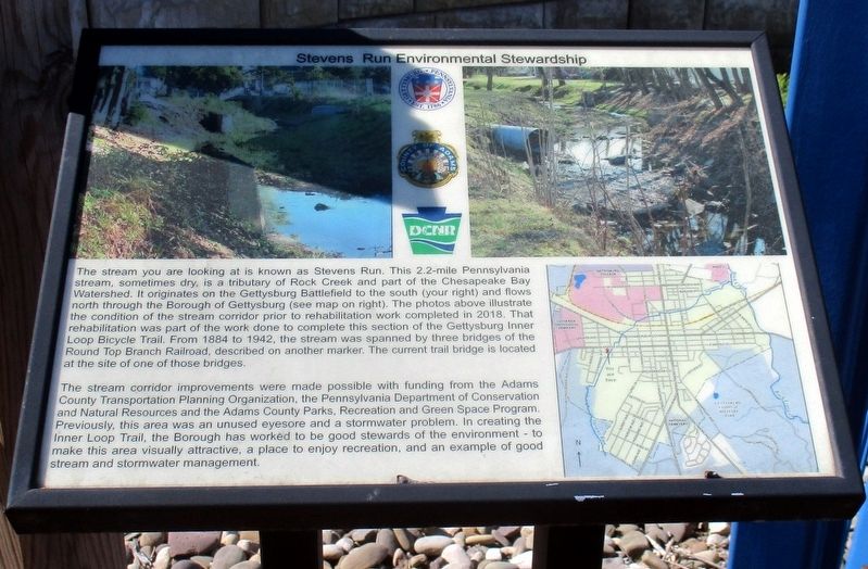
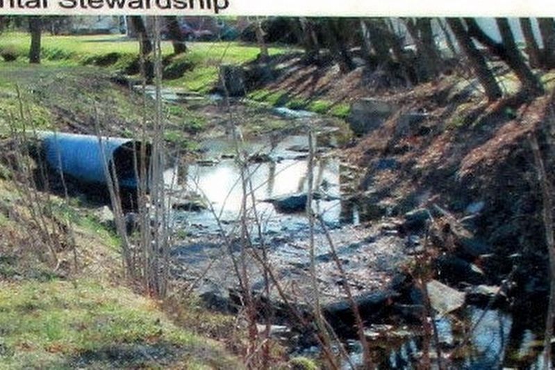
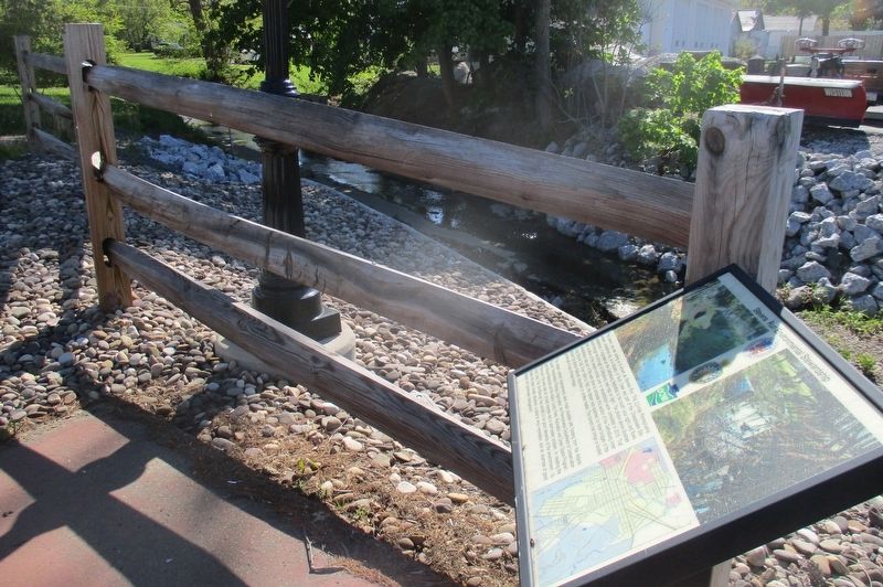
The stream you are looking at is known as Stevens Run. This 2.2 mile Pennsylvania stream, sometimes dry, is a tributary of Rock Creek and part of the Chesapeake Bay Watershed. It originates on the Gettysburg battlefield to the south (your right) and flows north through the Borough of Gettysburg (see map on right). The photos above illustrate the condition of the stream prior to the rehabilitation work completed in 2018,. That rehabilitation was part of the work done to complete this section of the Gettysburg Loop Bicycle Trail. From 1884 to 1942, the stream was spanned by three bridges of the Round Top Branch Railroad, described on another marker. The current trail bridge is located at the site of one of those bridges.
The stream corridor improvements were made possible with funding from the Adams County Transportation Planning Organization, the Pennsylvania Department of Conservation and Natural Resources and the Adams County Parks, Recreation and Green Spaces program. Previously, this area was an unused eyesore and a stormwater problem. In creating the Inner Loop Trail, the Borough has worked to be good stewards of the environment – to make this area visually attractive, a place to enjoy recreation, and an example of good steam and stormwater management.
Topics. This historical marker is listed in these topic lists: Bridges & Viaducts • Parks & Recreational Areas • Waterways & Vessels. A significant historical year for this entry is 2018.
Location. 39° 49.758′ N, 77° 14.325′ W. Marker is in Gettysburg, Pennsylvania, in Adams County. Marker is on West High Street, on the left when traveling west. Touch for map. Marker is at or near this postal address: 400 W Middle Street, Gettysburg PA 17325, United States of America. Touch for directions.
Other nearby markers. At least 8 other markers are within walking distance of this marker. Round Top Branch of the Gettysburg & Harrisburg Railroad (within shouting distance of this marker); 26th Pennsylvania Emergency Infantry (about 800 feet away, measured in a direct line); The Gettysburg Post Office and the Civil War (approx. 0.2 miles away); Chambersburg Pike to the Lincoln Highway (approx. 0.2 miles away); Franklin Street “Colored” School 1884-1932 (approx. 0.2 miles away); Agricultural Hall (approx. 0.2 miles away); The Stevens Log House (approx. ¼ mile away); Monumental Stories (approx. ¼ mile away). Touch for a list and map of all markers in Gettysburg.
Also see . . . Stevens Run (Rock Creek tributary). Wikipedia entry (Submitted on May 24, 2022, by Larry Gertner of New York, New York.)
Credits. This page was last revised on May 24, 2022. It was originally submitted on May 24, 2022, by Larry Gertner of New York, New York. This page has been viewed 197 times since then and 50 times this year. Photos: 1, 2, 3. submitted on May 24, 2022, by Larry Gertner of New York, New York.


