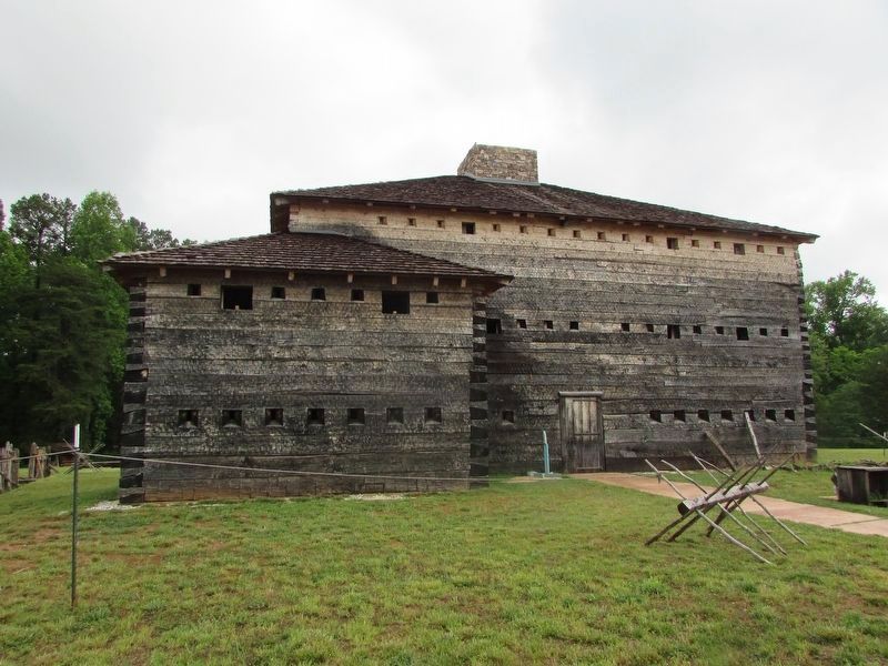
Statesville in Iredell County, North Carolina — The American South (South Atlantic)
Preserving the Past
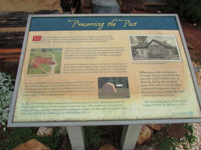
When the blockhouse ceased to exist, the site of Fort Dobbs was transformed into farmland. Soil from a century of plowing gradually filled in the fort's outer ditch and most of its cellar. However, knowledge and of interest in the old fort persisted.
In 1847, a group of local citizens dug to the bottom of the collapsed well shaft, searching for cannons that had supposedly been discarded there. They discovered no guns, but the attempt marked the first excavation at the fort site. It would be 1967 before archaeologists conducted the first scientific dig there.
At the turn of the twentieth century, local women formed a chapter of the National Society Daughter of the American Revolution, named it for Fort Dobbs, and, realizing the site's significance, purchased nine acres in 1909. It is due to their efforts that the site is preserved today.
In 1910, the NSDAR erected a granite monument and later J. Hampton Rich of Mocksville added an iron marker. Rich founded The Boone Trail Highway Association, which placed identical tablets at various sites visited by Daniel Boone. The Fort Dobbs marker is one of only 60 out of the original 358 that are known to exist.
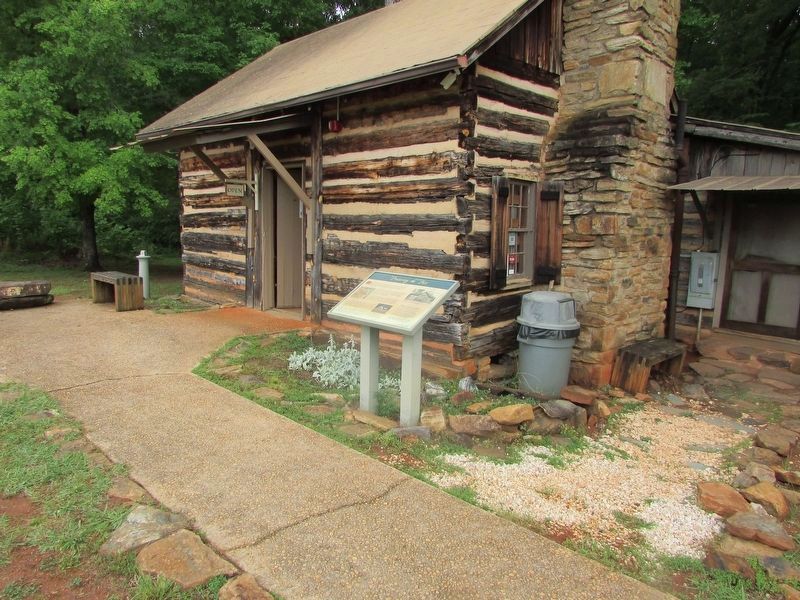
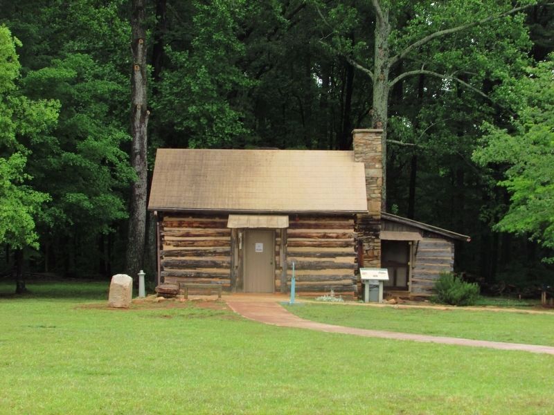
In 1941, the Fort Dobbs Chapter transported several area nineteenth-century log structures to the site. These combined buildings form the structure you see here today. The refurbished house served as a meeting space for nearly thirty years, until the chapter gave the site to the State of North Carolina. Fort Dobbs State Historic Site formally opened to the public in 1976.
< Sidebar: >
The meeting was held in the Daughter's own chapter house on the land which they own at the site of Fort Dobbs, north of Statesville. The log cabin erected this spring will be used as a center of chapter activity and the organization hopes in future years to have a building there which will be a restoration of the fort.
- Mrs. Karl Sherrill, Regent, The Fort Dobbs Chapter, NSDAR, Tuesday,June 17, 1941
Topics. This historical marker is listed in this topic list: War, French and Indian. A significant historical date for this entry is June 17, 1941.
Location. 35° 49.326′ N, 80° 53.829′ W. Marker is in Statesville, North Carolina, in Iredell County. Marker can be reached from Fort Dobbs Road, on the right when traveling west. Touch for map. Marker is at or near this postal address: 438 Fort Dobbs Rd, Statesville NC 28625, United States of America. Touch for directions.
Other nearby markers. At least 8 other markers are within 3 miles of this marker, measured as the crow flies. Site of Fort Dobbs (here, next to this marker); a different marker also named Site of Fort Dobbs (within shouting distance of this marker); They found the fire very hot … February 27, 1760 (within shouting distance of this marker); Anglo-Cherokee War (1759 - 1761) (within shouting distance of this marker); The Natural Landscape of Fort Dobbs (within shouting distance of this marker); Hugh Waddell (about 400 feet away, measured in a direct line); Fort Dobbs (approx. 1.3 miles away); Iredell County Korea & Vietnam War Memorial (approx. 2.4 miles away). Touch for a list and map of all markers in Statesville.
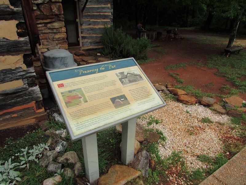
More about this marker. Pictures of "Excavation of the fort, circa 1969"; "The visitor center cabin cabin after being relocated to the site"; and the DAR monument appear on the marker.
Credits. This page was last revised on June 17, 2022. It was originally submitted on May 26, 2022, by Bill Coughlin of Woodland Park, New Jersey. This page has been viewed 144 times since then and 11 times this year. Photos: 1, 2, 3, 4, 5. submitted on May 26, 2022, by Bill Coughlin of Woodland Park, New Jersey.
