North End East in Sioux Falls in Minnehaha County, South Dakota — The American Midwest (Upper Plains)
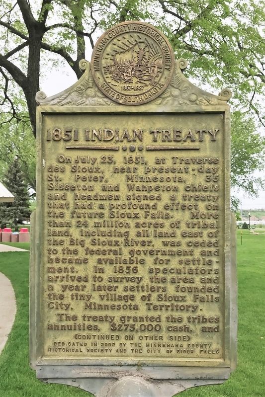
1851 Indian Treaty
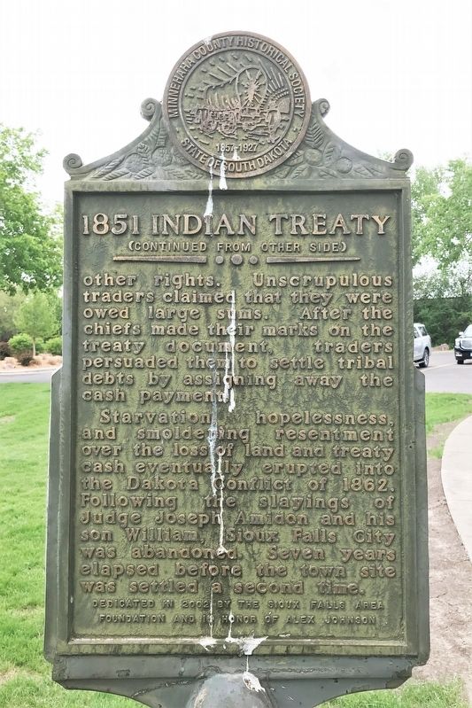
The treaty granted the tribes annuities, $275,000 cash, and other rights. Unscrupulous traders claimed that they were owed large sums. After the chiefs made their marks on the treaty document, traders persuaded them to settle tribal debts by assigning away the cash payment.
Starvation, hopelessness, and smoldering resentment over the loss of land and treaty cash eventually erupted into the Dakota Conflict of 1862. Following the slayings of Judge Joseph Amidon and his son William, Sioux Falls City was abandoned. Seven years elapsed before the town site was settled a second time.
Erected 2002 by the Minnehaha County Historical Society, the City of Sioux Falls, the Sioux Falls Area Foundation and in honor of Alex Johnson.
Topics. This historical marker is listed in these topic lists: Native Americans • Settlements & Settlers • Wars, US Indian. A significant historical date for this entry is July 23, 1851.
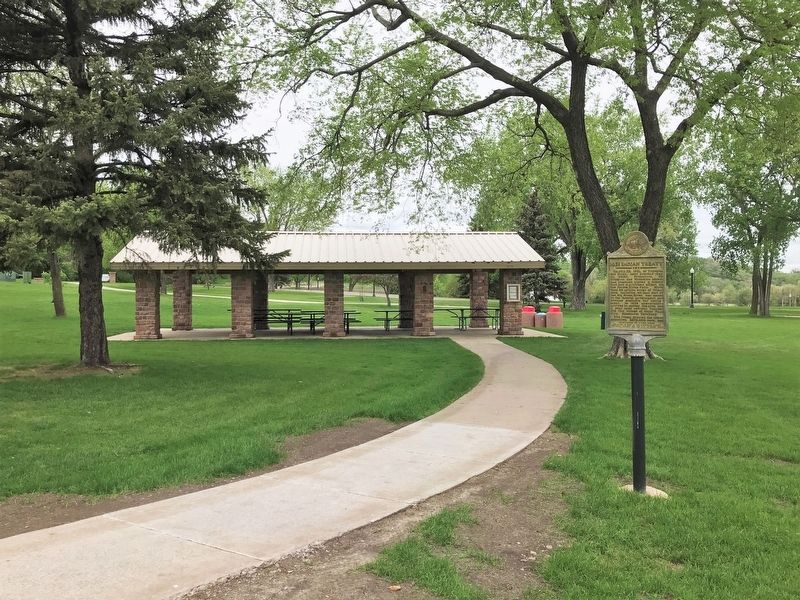
Location. 43° 33.43′ N, 96° 43.484′ W. Marker is in Sioux Falls, South Dakota, in Minnehaha County. It is in North End East. Marker can be reached from the intersection of East Falls Park Drive and North 2nd Avenue when traveling south. Located near the picnic shelter on the west side of the Big Sioux River in Falls Park. Touch for map. Marker is in this post office area: Sioux Falls SD 57104, United States of America. Touch for directions.
Other nearby markers. At least 8 other markers are within walking distance of this marker. Prison Quarry (about 300 feet away, measured in a direct line); The Sioux Quartzite (about 300 feet away); Hazel O'Connor (about 400 feet away); The Lure of the Falls (about 400 feet away); Legacy of Ice and Rock (about 500 feet away); Falls Park Bridge (about 700 feet away); Inland Seas (about 700 feet away); Philander Prescott (about 700 feet away). Touch for a list and map of all markers in Sioux Falls.
Credits. This page was last revised on February 16, 2023. It was originally submitted on May 27, 2022. This page has been viewed 244 times since then and 144 times this year. Photos: 1, 2, 3. submitted on May 27, 2022.


