Green Forest in Carroll County, Arkansas — The American South (West South Central)
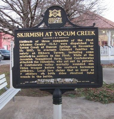
Skirmish At Yocum Creek
Erected 2011 by Arkansas Civil War Sesquicentennial Commission, Carroll County Historical and Genealogical Society, Capt. James Tyrie Wright Chapter No. 6, Military Order of the Stars and Bars, and Arkansas Natural and Cultural Resources Council. (Marker Number 22.)
Topics and series. This historical marker is listed in this topic list: War, US Civil. In addition, it is included in the Arkansas Civil War Sesquicentennial Commission series list. A significant historical date for this entry is November 15, 1862.
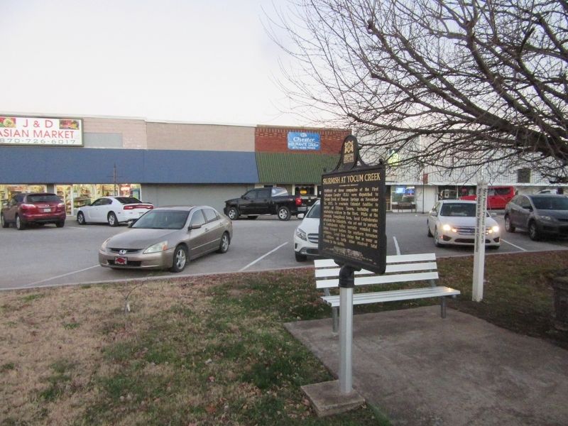
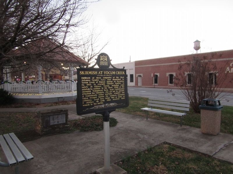
Location. 36° 20.109′ N, 93° 26.04′ W. Marker is in Green Forest, Arkansas, in Carroll County. Marker is on Tommy Ratzlaff Avenue south of East Main Street (U.S. 62), on the right when traveling south. Located in a small park south of E Main St. Touch for map. Marker is in this post office area: Green Forest AR 72638, United States of America. Touch for directions.
Other nearby markers. At least 7 other markers are within 17 miles of this marker, measured as the crow flies. Carroll County War Memorial (approx. 7.7 miles away); Berryville In The Civil War (approx. 7.7 miles away); Carroll County Courthouse, Eastern District (approx. 7.7 miles away); The Mountain Meadows Massacre (approx. 8 miles away); Yell Masonic Lodge Hall (approx. 8 miles away); "Old" Carrollton (approx. 8 miles away); Devil's Pool (approx. 16.4 miles away in Missouri).
Credits. This page was last revised on March 23, 2023. It was originally submitted on May 27, 2022, by Jason Armstrong of Talihina, Oklahoma. This page has been viewed 230 times since then and 61 times this year. Photos: 1, 2, 3. submitted on May 27, 2022, by Jason Armstrong of Talihina, Oklahoma. • Bernard Fisher was the editor who published this page.


