Near Rowlesburg in Preston County, West Virginia — The American South (Appalachia)
Battle of Rowlesburg
The River Road
— Jones - Imboden Raid —
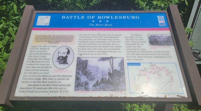
(Preface) On April 20, 1863, Confederate Gens. William E. "Grumble" Jones and John D. Imboden began a raid from Virginia through present-day West Virginia on the Baltimore and Ohio Railroad. Taking separate routes, they later reported that they marched 1,100 miles, fought several engagements, captured 700 Federals, seized about 1,200 horses and 4,000 cattle, and burned 4 turnpike bridges, more than 20 railroad bridges, 2 trains, and 150,000 barrels of oil. Most bridges were soon repaired. Confederate losses were slight. By May 26, both commands had returned to Virginia's Shenandoah Valley.
On April 26, 1863, as Confederate Gen. William E. Jones's cavalrymen approached Rowlesburg from Grant County, Union Maj. John Showalter's small garrison had to defend two routes into town. Jones had divided his troops and was attacking the road where you stand now, as well as the Baltimore and Ohio Railroad's Cheat River bridge. Were either to succeed, the rail line to the Ohio River would be cut.
Just ahead on the River Road (present-day State Route 72), Jones sent 300 of his men to break through the perimeter defenses. By 2 P.M., they were less than a mile from town, just beyond a point known as The Cliffs, where Showalter's men had thrown up a barricade of logs. As the Confederate cavalry approached, the Union rifle men fired, and Jones's men fell back. The Confederates dismounted and attacked with carbines, but again came under heavy fire and retreated. They were unable to outflank the Federals, now reinforced by citizens from town.
The fighting here raged "at intervals from 3 P.M. until dark." Jones personally commanded the last assault, but after seeing that his troops stalemated, he ordered them to hold their position until dusk then pull back to the turnpike. From here, Jones moved on to Morgantown and then to Fairmont.
(captions)
Gen. William E. Jones Courtesy West Virginia State Archives
Cheat River Valley, Harper's Weekly, April 1857
Erected by West Virginia Civil War Trails.
Topics and series. This historical marker is listed in this topic list: War, US Civil. In addition, it is included in the West Virginia Civil War Trails series list. A significant historical date for this entry is April 26, 1863.
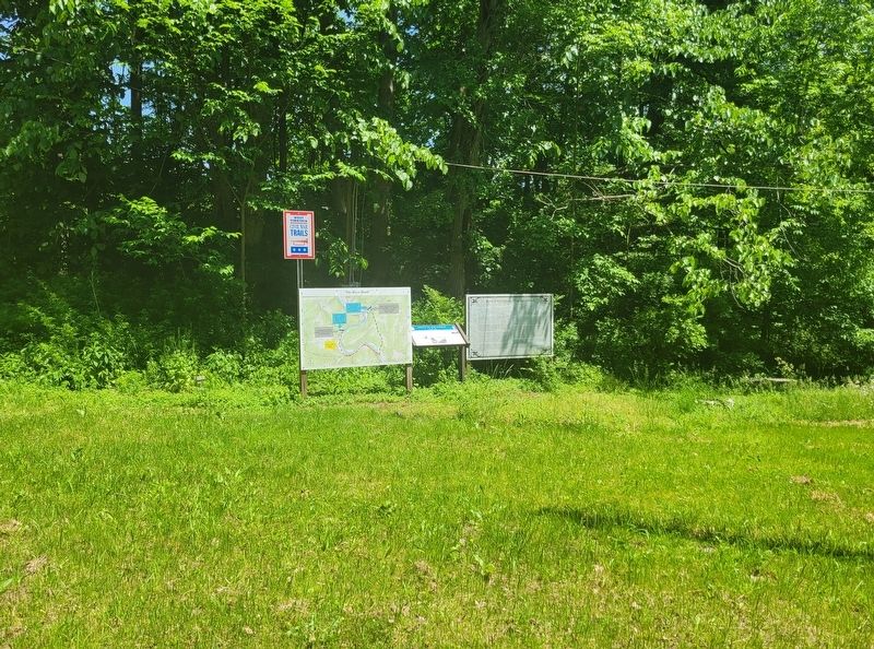
Location. 39° 19.596′ N, 79° 41.667′ W. Marker is near Rowlesburg, West Virginia, in Preston County. Marker is on River Road (State Highway 72) 0.6 miles north of Northwestern Turnpike (U.S. 50), on the right when traveling north. Marker is located beside two other displays at a roadside pulloff. Touch for map. Marker is in this post office area: Rowlesburg WV 26425, United States of America. Touch for directions.
Other nearby markers. At least 8 other markers are within 2 miles of this marker, measured as the crow flies. Battle of Rowlesburg: "The River Road" (here, next to this marker); Rowlesburg Veterans Memorial (approx. 1.9 miles away); Downtown Rowlesburg (approx. 1.9 miles away); Tray Run Viaduct (approx. 1.9 miles away); Independent Order of Odd Fellows Building and Property (approx. 1.9 miles away); Civil War Memorial (approx. 1.9 miles away); The Great Flood of November 4-5, 1985 (approx. 1.9 miles away); Rowlesburg School (approx. 2 miles away). Touch for a list and map of all markers in Rowlesburg.
Credits. This page was last revised on May 27, 2022. It was originally submitted on May 27, 2022, by Bradley Owen of Morgantown, West Virginia. This page has been viewed 241 times since then and 28 times this year. Photos: 1, 2. submitted on May 27, 2022, by Bradley Owen of Morgantown, West Virginia. • Bernard Fisher was the editor who published this page.

