Rowlesburg in Preston County, West Virginia — The American South (Appalachia)
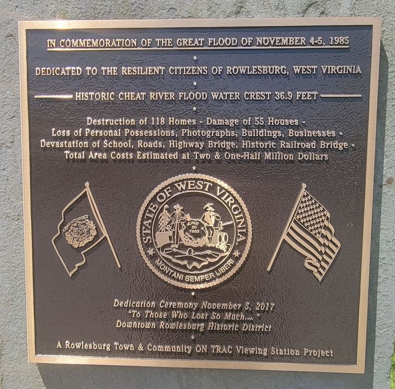
The Great Flood of November 4-5, 1985
•
Dedicated to the resilient Citizens of Rowlesburg, West Virginia
•
Historic Cheat River Flood Water Crest 36.9 Feet
•
Destruction of 118 Homes - Damage of 55 Houses - Loss of Personal Possessions, Photographs, Buildings, Businesses - Devastation of School, Roads, Highway Bridge, Historic Railroad Bridge - Total Area Costs Estimated at Two & One-Half Million Dollars
Dedication Ceremony November 5, 2017
"To Those Who Lost So Much...."
Downtown Rowlesburg Historic District
Erected 2017 by Rowlesburg Town and Community ON TRAC Viewing Station.
Topics. This historical marker is listed in these topic lists: Disasters • Waterways & Vessels. A significant historical year for this entry is 1985.
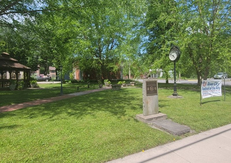
Location. 39° 20.838′ N, 79° 40.235′ W. Marker is in Rowlesburg, West Virginia, in Preston County. Marker is on South Buffalo Street (West Virginia Route 72) south of West Main Street, on the right when traveling south. Marker is located on the east side of Main Street Garden. Touch for map. Marker is at or near this postal address: 13 S Buffalo St, Rowlesburg WV 26425, United States of America. Touch for directions.
Other nearby markers. At least 8 other markers are within walking distance of this marker. Independent Order of Odd Fellows Building and Property (within shouting distance of this marker); Tray Run Viaduct (about 300 feet away, measured in a direct line); Rowlesburg School (about 300 feet away); Downtown Rowlesburg (about 400 feet away); 34 South Church Street (about 400 feet away); 32 South Church Street (about 400 feet away); Rowlesburg Veterans Memorial (about 400 feet away); Rowlesburg Area Honor Roll (about 400 feet away). Touch for a list and map of all markers in Rowlesburg.
Credits. This page was last revised on June 1, 2022. It was originally submitted on May 28, 2022, by Bradley Owen of Morgantown, West Virginia. This page has been viewed 185 times since then and 40 times this year. Photos: 1, 2, 3, 4. submitted on May 28, 2022, by Bradley Owen of Morgantown, West Virginia. • Devry Becker Jones was the editor who published this page.


