Near Rowlesburg in Preston County, West Virginia — The American South (Appalachia)
Battle of Rowlesburg
B&O Railroad Bridge
— Jones - Imboden Raid —
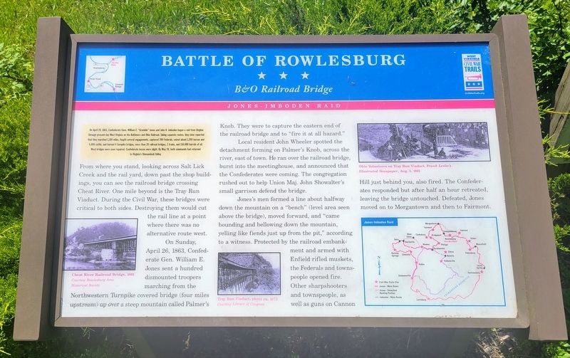
(Preface) On April 20, 1863, Confederate Gens. William E. "Grumble" Jones and John D. Imboden began a raid from Virginia through present-day West Virginia on the Baltimore and Ohio Railroad. Taking separate routes, they later reported that they marched 1,100 miles, fought several engagements, captured 700 Federals, seized about 1,200 horses and 4,000 cattle, and burned 4 turnpike bridges, more than 20 railroad bridges, 2 trains, and 150,000 barrels of oil. Most bridges were soon repaired. Confederate losses were slight. By May 26, both commands had returned to Virginia's Shenandoah Valley.
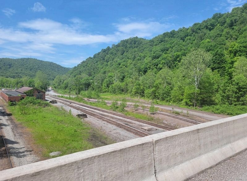
From where you stand, looking across Salt Lick Creek and the rail yard, down past the shop buildings, you can see the railroad bridge crossing. One mile beyond is the Tray Run Viaduct. During the Civil War, these bridges were critical to both sides. Destroying them would cut the rail line at a point where there was no alternative route west.
On Sunday, April 26, 1863, Confederate Gen. William E. Jones sent a hundred dismounted troopers marching from the Northwestern Turnpike covered bridge (four miles upstream) up over a steep mountain called Palmer's Knob. They were to capture the eastern end of the railroad bridge and to "fire it at all hazard."
Local resident John Wheeler spotted the detachment forming on Palmer's Knob, across the river, east of town. He ran over the railroad bridge, burst into the meetinghouse, and announced that the Confederates were coming. The congregation rushed out to help Union Maj. John Showalter's small garrison defend the bridge.
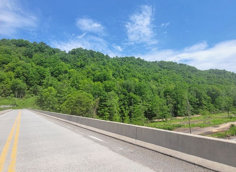
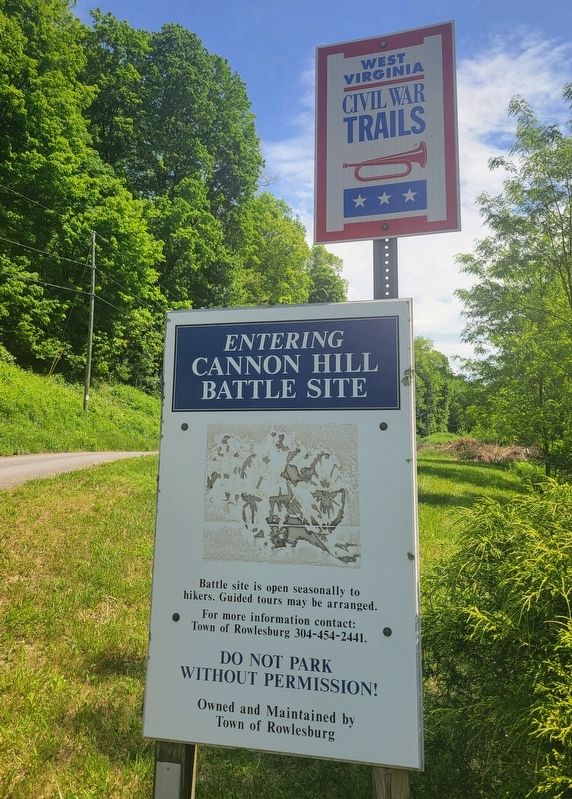
Jones's men formed a line about halfway down the mountain on a "bench" (level area seen above the bridge), moved forward, and "came bounding and bellowing down the mountain, yelling like fiends just up from the pit," according to a witness. Protected by the railroad embankment and armed with Enfield rifled muskets, the Federals and towns people opened fire. Other sharpshooters and townspeople, as well as guns on Cannon Hill just behind you, also fired. The Confederates responded but after half an hour retreated, leaving the bridge untouched. Defeated, Jones moved on to Morgantown and then to Fairmont.
(captions)
Cheat River Railroad Bridge, 1861 Courtesy Rowlesburg Area Historical Society
Tray Run Viaduct, photo ca. 1872 Courtesy Library of Congress
Ohio Volunteers on Tray Run Viaduct, Frank Leslie's Illustrated Newspaper, Aug. 3, 1861
Erected by West Virginia Civil War Trails.
Topics and series. This historical marker is listed in these topic lists: Bridges & Viaducts • Railroads & Streetcars • War, US Civil. In addition, it is included in the West Virginia Civil War Trails series list. A significant historical date for this entry is April 26, 1863.
Location. 39° 21.291′ N, 79° 39.563′ W. Marker is near Rowlesburg, West Virginia, in Preston County. Marker is on Cannon Hill Road, 0.1 miles north of Maple Avenue (County Route 51), on the right when traveling north. Touch for map. Marker is in this post office area: Rowlesburg WV 26425, United States of America. Touch for directions.
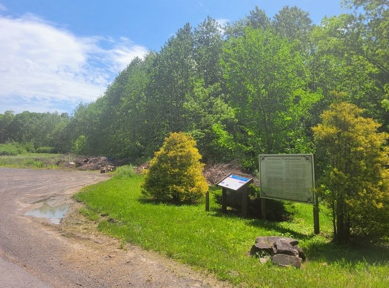
Other nearby markers. At least 8 other markers are within walking distance of this marker. Battle of Rowlesburg: "The B&O Railroad Bridge" (here, next to this marker); Canon Hill (approx. 0.6 miles away); a different marker also named Battle of Rowlesburg (approx. 0.7 miles away); a different marker also named Battle of Rowlesburg (approx. 0.7 miles away); a different marker also named "Battle of Rowlesburg" (approx. 0.7 miles away); The 1841 Mountain Howitzer, thought to be the type used in Rowlesburg during the Civil War (approx. 0.7 miles away); Rowlesburg Area Honor Roll (approx. 0.7 miles away); Restoring the American Chestnut Tree (approx. 0.7 miles away). Touch for a list and map of all markers in Rowlesburg.
Credits. This page was last revised on May 30, 2022. It was originally submitted on May 28, 2022, by Bradley Owen of Morgantown, West Virginia. This page has been viewed 124 times since then and 33 times this year. Photos: 1, 2, 3, 4, 5. submitted on May 28, 2022, by Bradley Owen of Morgantown, West Virginia. • Bernard Fisher was the editor who published this page.
