Ticonderoga in Essex County, New York — The American Northeast (Mid-Atlantic)
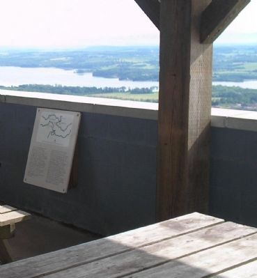
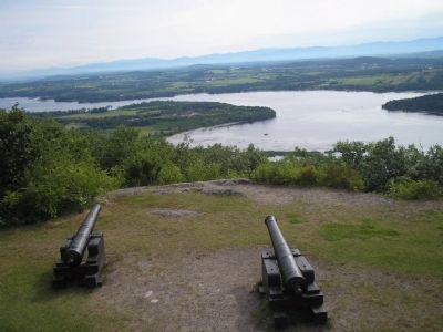
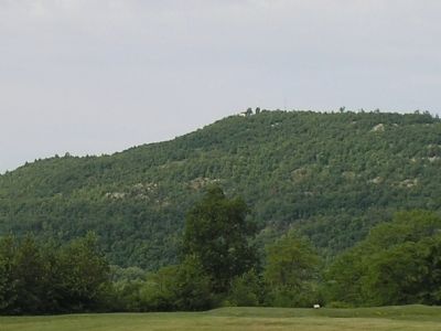
Summit of Mount Defiance
Marker #1:
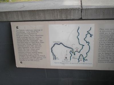
Two historic waterways converge at Ticonderoga. Long before the region became important to European powers, Native Americans made a portage here for carrying canoes and gear between Lake George and Lake Champlain. The five-mile-long La Chute River flows out of Lake George, (behind the mountain to your left), and joins Lake Champlain in the estuary below. The river, whose name means “the falls” in French, powered a French sawmill during construction of Fort Carillon (renamed Ticonderoga by the British in 1759) in the mid-18th century, and an impressive array of mills and factories in the 19th century.
Marker #2:
The Fort Ticonderoga peninsula reaches east towards Mount Independence on the Vermont shore to form a choke point. Here, two waterways from the south converge, flowing north to the Saint Lawrence River. Whoever controlled this passage controlled travel between New York and Nouvelle France (Canada). American troops connected the two fortified positions with a floating bridge built during the winter of 1776-77. East Creek, on the far side of Mount Independence, protected retreating American troops from a flanking German attack in July of 1777, allowing them to regroup and fight again at Hubbardton and Bennington.
Marker #3:
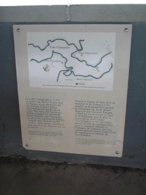
From the vantage point on this mountain top, Robert Rogers and his Ranger scouts reconnoitered the strength of Fort Carillon (Ticonderoga) during the Seven Years’ War when the French and British struggled for control of North America. Lake Champlain served as the highway for military transport into the heart of the country. Both nations understood that control of the lake was the key to success.
Mount Defiance is owned and preserved by Fort Ticonderoga, a private, not-for-profit educational institution open to the public since 1909.
Marker #4:
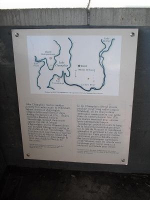
Lake Champlain reaches another twenty-five miles south to Whitehall, where American shipwrights constructed a small fleet of ships during the summer of 1776. Sailors rowed the finished hulls to Ticonderoga, stepped their masts against the cliff at Mount Independence on the Vermont shore, and installed fittings and rigging in the shelter of Fort Ticonderoga. This first American navy lost to a superior British force at Valcour Island, but held the British off long enough to force them back to Canada for the winter.
Mount Independence is preserved through the partnership of Fort Ticonderoga and the State of Vermont.
Erected by Fort Ticonderoga National Historic Landmark.
Topics. This historical marker is listed in these topic lists: War, French and Indian • War, US Revolutionary • Waterways & Vessels. A significant historical month for this entry is July 1777.
Location. 43° 49.881′ N, 73° 24.382′ W. Marker is in Ticonderoga, New York, in Essex County. Marker can be reached from Mt. Defiance Street, on the right when traveling east. Markers are in a picnic pavilion at the summit of Mount Defiance. Touch for map. Marker is in this post office area: Ticonderoga NY 12883, United States of America. Touch for directions.
Other nearby markers. At least 8 other markers are within 2 miles of this marker, measured as the crow flies. Mount Defiance at War (here, next to this marker); A Dominating Presence with Many Names (here, next to this marker); Old Military Road (approx. 0.9 miles away); Fort Ticonderoga and Mount Defiance (approx. one mile away in Vermont); From this point south… (approx. 1.1 miles away); Eighteen Colonial Soldiers (approx. 1.1 miles away); A Soldier of France (approx. 1.1 miles away); Mount Defiance (approx. 1.1 miles away). Touch for a list and map of all markers in Ticonderoga.
More about this marker. Each of the four markers contain a map of the region showing Mount Defiance, Fort Ticonderoga and Mount Independence on Lake Champlain. The location of the markers is also indicated. Maps are produced by Fort Ticonderoga with support from the Lake Champlain Basin Program. A French translation of the marker text appears on each marker as well.
Also see . . . Fort Ticonderoga National Historic Landmark. (Submitted on June 12, 2009, by Bill Coughlin of Woodland Park, New Jersey.)
Credits. This page was last revised on March 17, 2022. It was originally submitted on June 12, 2009, by Bill Coughlin of Woodland Park, New Jersey. This page has been viewed 1,978 times since then and 40 times this year. Photos: 1, 2, 3, 4, 5, 6, 7, 8, 9. submitted on June 12, 2009, by Bill Coughlin of Woodland Park, New Jersey.
