Chelsea in Manhattan in New York County, New York — The American Northeast (Mid-Atlantic)
High Line
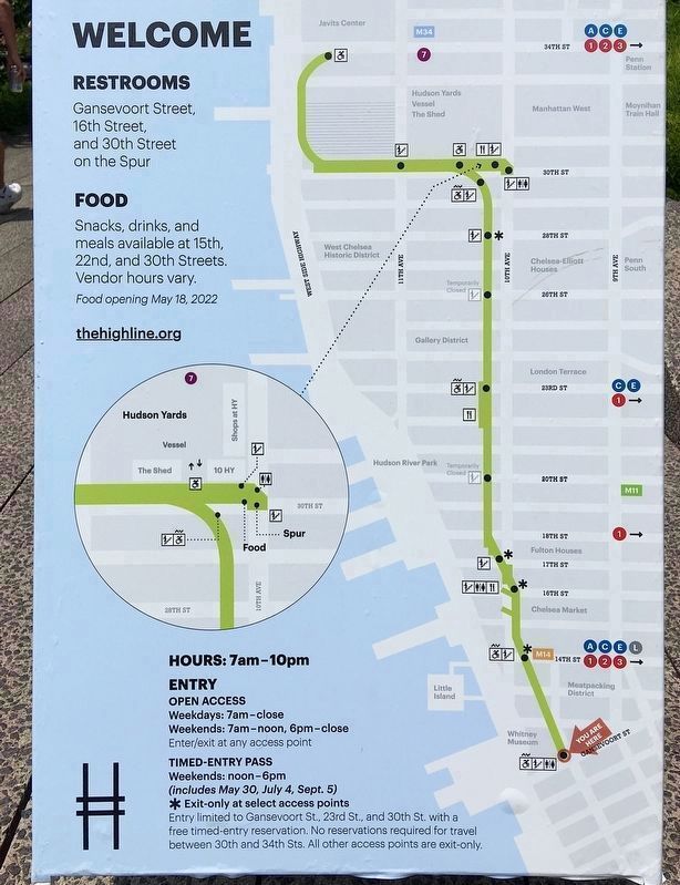
The Spur
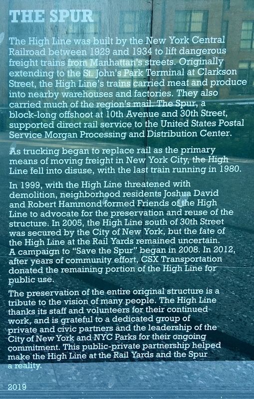
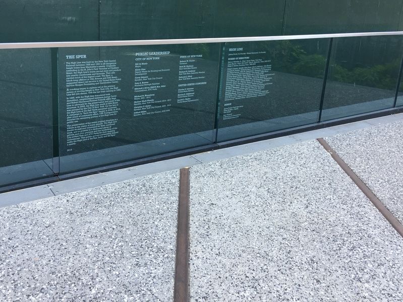
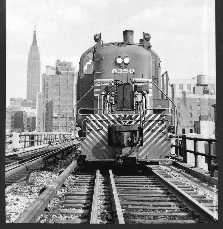
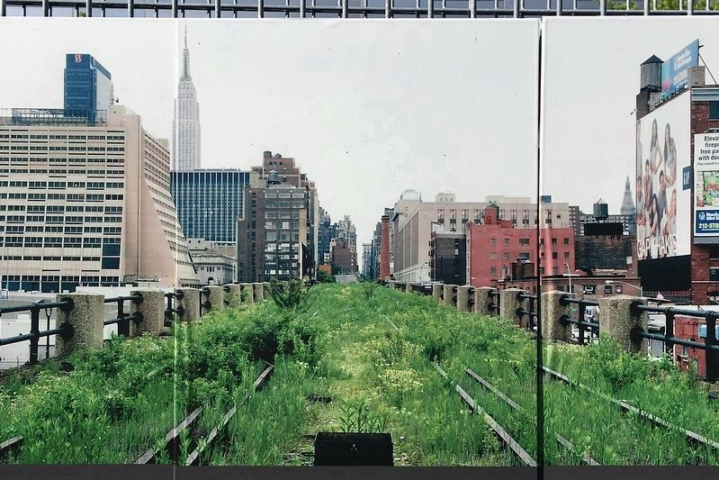
The High Line was built by the New York Central Railroad between 1929 and 1934 to lift dangerous freight trains from Manhattan's streets. Originally extending to the St. John's Park Terminal at Clarkson Street, the High Line's trains carried meat and produce into nearby warehouses and factories. They also carried much of the region's mail. The Spur, a block-long offshoot at 10th Avenue and 30th Street, supported direct rail service to the United States Postal Service Morgan Processing and Distribution Center.
As trucking began to replace rail as the primary means of moving freight in New York City, the High Line fell into disuse, with the last train running in 1980.
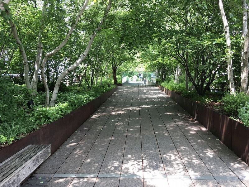
In 1999, with the High Line threatened with demolition, neighborhood residents Joshua David and Robert Hammond formed Friends of the High Line to advocate for the preservation and reuse of the structure. In 2005, the High Line south of 30th Street was secured by the City of New York, but the fate of the High Line at the Rail Yards remained uncertain. A campaign to "Save the Spur" began in 2008. In 2012, after years of community effort, CSX Transportation donated the remaining portion of the High Line for public use.
The preservation of the entire original structure is a tribute to the vision of many people. The High Line thanks its staff and volunteers for their continued work, and is grateful to a dedicated group of private and civic partners and the leadership of the City of New York and NYC Parks for their ongoing commitment. This public-private partnership helped make the High Line at the Rail Yards and the Spur a reality.
Erected 2019 by City of New York.
Topics. This historical marker is listed in these topic lists: Parks & Recreational Areas • Railroads & Streetcars. A significant historical year for this entry is 1929.
Location. 40° 45.125′ N, 74° 0.065′ W. Marker is in Manhattan, New York, in New York County. It is in Chelsea. Marker is at the intersection of 30th Street and 10th Avenue on 30th Street. Located above the intersection, on the High Line. Touch for map. Marker is at or near this postal address: 3043 W 30th St, New York NY 10001, United States of America. Touch for directions.
Other nearby markers. At least 8 other markers are within walking distance of this marker. Charles Mary Kubricht (b. 1946) (about 300 feet away, measured in a direct line); P.O. David Willis Basketball Court (about 800 feet away); Hudson River Railroad (approx. 0.2 miles away); Master Printers Building (approx. 0.2 miles away); Chelsea Doughboy Statue (approx. 0.2 miles away); Chelsea WW I Memorial (approx. 0.2 miles away); Alice's Garden (approx. 0.2 miles away); Church of the Holy Apostles (approx. ¼ mile away). Touch for a list and map of all markers in Manhattan.
Regarding High Line. Construction is underway (in 2022) to extend The Spur one block west to the Moynihan Train Hall shopping center and Penn Station.
Also see . . . The High Line. — Events, Hours, Tours, Photos, FAQs. (Submitted on May 30, 2022.)
Credits. This page was last revised on June 7, 2023. It was originally submitted on May 30, 2022, by Craig Baker of Sylmar, California. This page has been viewed 74 times since then and 7 times this year. Photos: 1, 2, 3, 4, 5. submitted on May 30, 2022, by Craig Baker of Sylmar, California. 6, 7. submitted on June 3, 2022, by Craig Baker of Sylmar, California.
