San Juan Capistrano in Orange County, California — The American West (Pacific Coastal)
Don Jose Antonio Yorba Building
Photographed by Adam Margolis, June 2, 2022
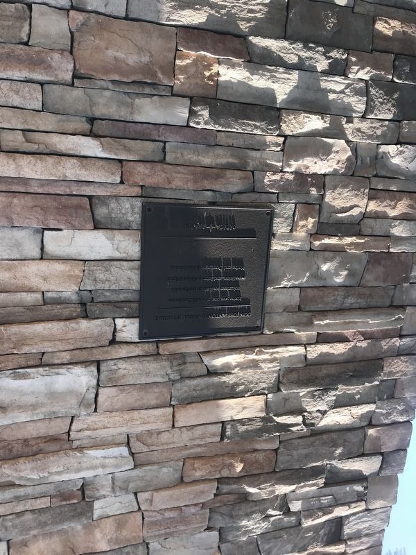
1. Don Jose Antonio Yorba Building Marker
Yorba was one of the 66 Catalonian volunteer soldiers in the Spanish expedition, and later built the Miguel Yorba and Domingo Yorba Adobes.
Erected by Ortega Ranch.
Topics. This historical marker is listed in these topic lists: Exploration • Hispanic Americans • Settlements & Settlers.
Location. 33° 30.283′ N, 117° 39.404′ W. Marker is in San Juan Capistrano, California, in Orange County. It can be reached from Rancho Viejo Road north of Ortega Highway (California Route 74), on the right when traveling south. Touch for map. Marker is at or near this postal address: 31461 Rancho Viejo Rd, San Juan Capistrano CA 92675, United States of America. Touch for directions.

Regionally, this marker is in Greater Los Angeles and in the Peninsular Ranges. It is also on the American Pacific Coast. Globally, it is in North America, on the Ring of Fire, in the Pacific Rim, in the Western Hemisphere, in the Western World, and in the Anglosphere. Historically, it finds itself in what was once New Spain and also Mexico’s Alta California.
Other nearby markers. At
this page online

Photographed by Adam Margolis, June 2, 2022
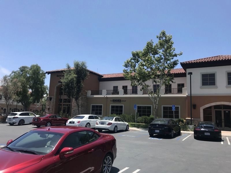
2. Building and Marker
The marker is to the left of the entrance.
Photographed by Adam Margolis, June 2, 2022
3. Don Jose Antonio Yorba Building
Credits. This page was last revised on April 20, 2026. It was originally submitted on June 3, 2022, by Adam Margolis of Mission Viejo, California. This page has been viewed 337 times since then and 29 times this year. Photos: 1, 2, 3. submitted on June 3, 2022, by Adam Margolis of Mission Viejo, California. • Devry Becker Jones was the editor who published this page.
Editor’s want-list for this marker. Closeup photo of the marker. • Can you help?
