Natchez in Adams County, Mississippi — The American South (East South Central)
The Introduction of Slavery in the Natchez District
L'introduction de l'esclavage le district de Natchez
— Fort Rosalie —
Inscription.
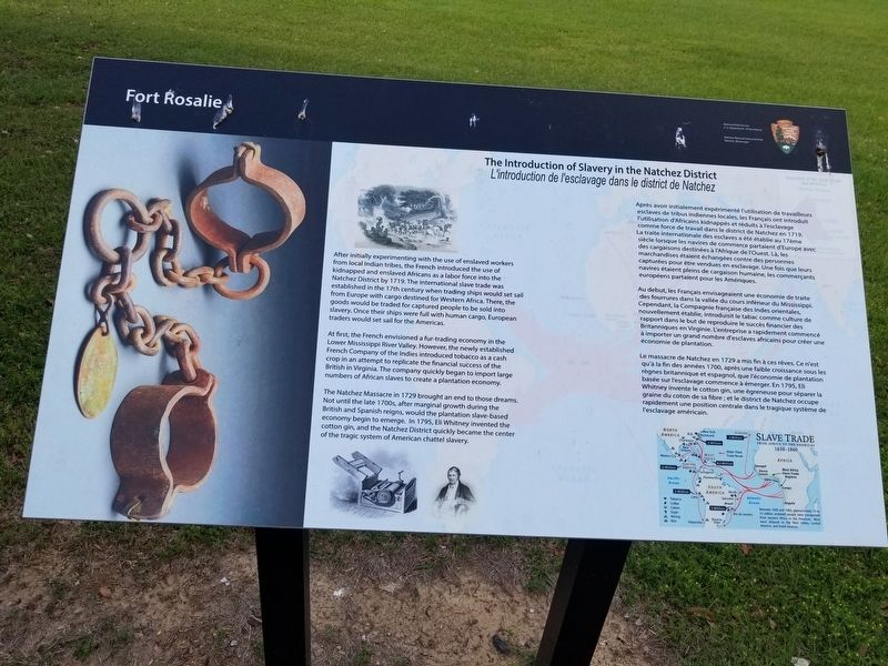
After initially experimenting with the use of enslaved workers from local Indian tribes, the French introduced the use of kidnapped and enslaved Africans as a labor force into the Natchez District by 1719. The international slave trade was established in the 17th century when trading ships would set sail from Europe with cargo destined for Western Africa. There, the goods would be traded for captured people to be sold into slavery. Once their ships were full with human cargo, European traders would set sail for the Americas.
At first, the French envisioned a fur-trading economy in the Lower Mississippi River Valley. However, the newly established French Company of the Indies introduced tobacco as a cash crop in an attempt to replicate the financial success of the British in Virginia. The company quickly began to import large numbers of African slaves to create a plantation economy.
The Natchez Massacre in 1729 brought an end to those dreams. Not until the late 1700s, after marginal growth during the British and Spanish reigns, would the plantation slave-based economy begin to emerge. In 1795, Eli Whitney invented the cotton gin, and the Natchez District quickly became the center of the tragic system of American chattel slavery.
French Text
Après avoir initialement expérimenté l'utilisation de travailleurs esclaves de tribus indiennes locales, les Français ont introduit l'utilisation d'Africains kidnappés et réduits à l'esclavage comme force de travail dans le district de Natchez en 1719. La traite internationale des esclaves a été établie au 17ème siècle lorsque les navires de commerce partaient d'Europe avec des cargaisons destinées à l'Afrique de l'Ouest. Là, les marchandises étaient échangées contre des personnes capturées pour être vendues en esclavage. Une fois que leurs navires étaient pleins de cargaison humaine, les commerçants européens partaient pour les Amériques.
Au debut, les Français envisageaient une économie de traite des fourrures dans la vallée du cours inférieur du Mississippi. Cependant, la Compagnie française des Indes orientales, nouvellement établie, introduisit le tabac comme culture de rapport dans le but de reproduire le succès financier des Britanniques en Virginie. L'entreprise a rapidement commencé à importer un grand nombre d'esclaves africains pour créer une économie de plantation.
Le massacre de Natchez en 1729 a mis fin à ces rêves. Ce n'est qu'à la fin des années 1700, après une faible croissance sous les règnes britannique et espagnol, que l'économie de plantation basée sur l'esclavage commence à émerger. En 1795, Eli Whitney invente le cotton gin, une égreneuse pour séparer la graine du coton de
sa fibre ; et le district de Natchez occupe
rapidement une position centrale dans le tragique système de
l'esclavage américain.
Erected by National Park Service, U.S. Department of Interior.
Topics. This historical marker is listed in these topic lists: Civil Rights • Colonial Era.
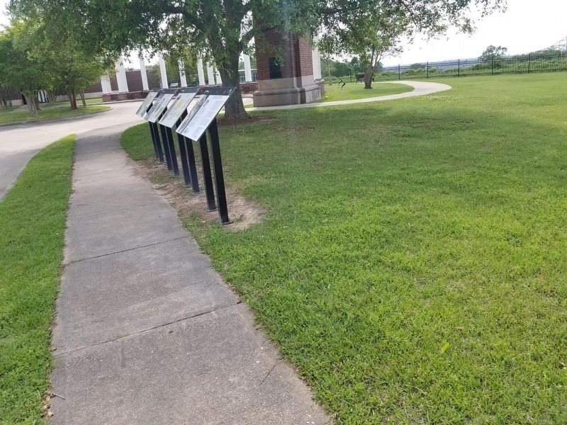
Location. 31° 33.329′ N, 91° 24.665′ W. Marker is in Natchez, Mississippi, in Adams County. Marker is on South Canal Street, 0.2 miles north of John R. Junkin Drive (U.S. 84), on the right when traveling south. Touch for map. Marker is in this post office area: Natchez MS 39120, United States of America. Touch for directions.
Other nearby markers. At least 8 other markers are within walking distance of this marker. The Natchez People (here, next to this marker); The French in North America (here, next to this marker); The European Struggle for Control (here, next to this marker); Natchez (within shouting distance of this marker); Bridging the Mississippi (within shouting distance of this marker); Natchez National Historical Park (about 300 feet away, measured in a direct line); The French Build a Fort and a Colony (about 500 feet away); French Retaliation & the Second Fort Rosalie (about 500 feet away). Touch for a list and map of all markers in Natchez.
Credits. This page was last revised on June 5, 2022. It was originally submitted on June 4, 2022, by Cajun Scrambler of Assumption, Louisiana. This page has been viewed 229 times since then and 13 times this year. Photos: 1, 2. submitted on June 4, 2022, by Cajun Scrambler of Assumption, Louisiana.

